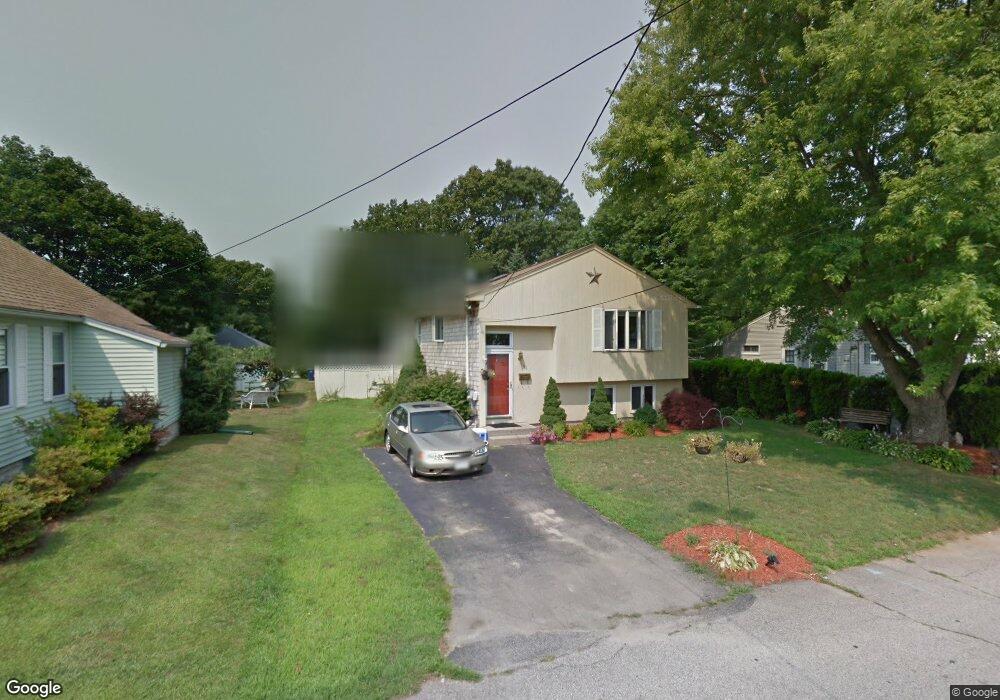
191 Welfare Ave Warwick, RI 02888
Norwood NeighborhoodEstimated Value: $402,000 - $410,000
3
Beds
1
Bath
1,159
Sq Ft
$349/Sq Ft
Est. Value
About This Home
This home is located at 191 Welfare Ave, Warwick, RI 02888 and is currently estimated at $404,844, approximately $349 per square foot. 191 Welfare Ave is a home located in Kent County with nearby schools including St. Peter School and Saint Paul School.
Ownership History
Date
Name
Owned For
Owner Type
Purchase Details
Closed on
Mar 30, 2017
Sold by
Fat Cats Llc
Bought by
Cunha Fernando S and Cunha Fernando S
Current Estimated Value
Create a Home Valuation Report for This Property
The Home Valuation Report is an in-depth analysis detailing your home's value as well as a comparison with similar homes in the area
Home Values in the Area
Average Home Value in this Area
Purchase History
| Date | Buyer | Sale Price | Title Company |
|---|---|---|---|
| Cunha Fernando S | $75,000 | -- | |
| Cunha Fernando S | $75,000 | -- |
Source: Public Records
Mortgage History
| Date | Status | Borrower | Loan Amount |
|---|---|---|---|
| Previous Owner | Cunha Fernando S | $162,800 | |
| Previous Owner | Cunha Fernando S | $125,500 | |
| Previous Owner | Cunha Fernando S | $55,000 |
Source: Public Records
Tax History Compared to Growth
Tax History
| Year | Tax Paid | Tax Assessment Tax Assessment Total Assessment is a certain percentage of the fair market value that is determined by local assessors to be the total taxable value of land and additions on the property. | Land | Improvement |
|---|---|---|---|---|
| 2025 | $4,681 | $368,600 | $100,900 | $267,700 |
| 2024 | $4,484 | $309,900 | $87,700 | $222,200 |
| 2023 | $4,397 | $309,900 | $87,700 | $222,200 |
| 2022 | $4,220 | $225,300 | $56,600 | $168,700 |
| 2021 | $4,220 | $225,300 | $56,600 | $168,700 |
| 2020 | $4,220 | $225,300 | $56,600 | $168,700 |
| 2019 | $4,220 | $225,300 | $56,600 | $168,700 |
| 2018 | $3,792 | $182,300 | $56,600 | $125,700 |
| 2017 | $3,690 | $182,300 | $56,600 | $125,700 |
| 2016 | $3,690 | $182,300 | $56,600 | $125,700 |
| 2015 | $3,592 | $173,100 | $55,500 | $117,600 |
| 2014 | $3,472 | $173,100 | $55,500 | $117,600 |
| 2013 | $3,426 | $173,100 | $55,500 | $117,600 |
Source: Public Records
Map
Nearby Homes
- 447 Harrington Ave
- 1153 Post Rd
- 27 Frederick St
- 1052 Post Rd
- 35 Welfare Ave
- 396 Elm St
- 63 Massasoit Dr
- 341 Sumner Ave
- 35 Manson Ave
- 126 Fairfax Dr
- 120 Gould Ave
- 110 Heath Ave
- 208 Negansett Ave
- 93 Grotto Ave
- 158 Underwood Ave
- 169 Partition St
- 110 Pilgrim Pkwy Unit 8
- 150 Riverside Ave
- 93 Easton Ave
- 63 Benbridge Ave
- 199 Welfare Ave
- 185 Welfare Ave
- 179 Welfare Ave
- 196 Welfare Ave
- 0 Boccia Ct Unit 1385203
- 207 Welfare Ave
- 186 Welfare Ave
- 173 Welfare Ave
- 210 Welfare Ave
- 21 Boccia Ct
- 178 Welfare Ave
- 57 Majestic Ave
- 218 Welfare Ave
- 51 Majestic Ave
- 11 Boccia Ct
- 4 Boccia Ct
- 77 Majestic Ave
- 221 Welfare Ave
- 320 Norwood Ave
- 314 Norwood Ave