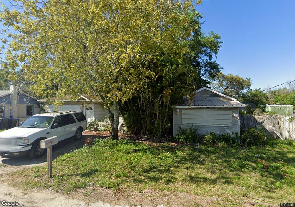
1910 Buffalo Rd Titusville, FL 32796
Estimated Value: $189,273 - $256,000
3
Beds
2
Baths
1,582
Sq Ft
$147/Sq Ft
Est. Value
About This Home
This home is located at 1910 Buffalo Rd, Titusville, FL 32796 and is currently estimated at $232,068, approximately $146 per square foot. 1910 Buffalo Rd is a home located in Brevard County with nearby schools including Mims Elementary School, James Madison Middle School, and Astronaut High School.
Ownership History
Date
Name
Owned For
Owner Type
Purchase Details
Closed on
Aug 16, 2013
Sold by
Zubowicz Gloria and Zubowicz Robert S
Bought by
Zubowicz Robert S and Zubowicz Gloria
Current Estimated Value
Purchase Details
Closed on
Dec 7, 1993
Sold by
Zubowicz Raymond J and Zubowicz Gloria
Bought by
Zubowicz Raymond J and Zubowicz Gloria
Home Financials for this Owner
Home Financials are based on the most recent Mortgage that was taken out on this home.
Original Mortgage
$19,000
Interest Rate
7.09%
Create a Home Valuation Report for This Property
The Home Valuation Report is an in-depth analysis detailing your home's value as well as a comparison with similar homes in the area
Home Values in the Area
Average Home Value in this Area
Purchase History
| Date | Buyer | Sale Price | Title Company |
|---|---|---|---|
| Zubowicz Robert S | -- | Attorney | |
| Zubowicz Raymond J | -- | -- |
Source: Public Records
Mortgage History
| Date | Status | Borrower | Loan Amount |
|---|---|---|---|
| Previous Owner | Zubowicz Raymond J | $19,000 |
Source: Public Records
Tax History Compared to Growth
Tax History
| Year | Tax Paid | Tax Assessment Tax Assessment Total Assessment is a certain percentage of the fair market value that is determined by local assessors to be the total taxable value of land and additions on the property. | Land | Improvement |
|---|---|---|---|---|
| 2025 | $721 | $63,970 | -- | -- |
| 2024 | $699 | $62,170 | -- | -- |
| 2023 | $699 | $60,360 | $0 | $0 |
| 2022 | $653 | $58,610 | $0 | $0 |
| 2021 | $666 | $56,910 | $0 | $0 |
| 2020 | $670 | $56,130 | $0 | $0 |
| 2019 | $688 | $54,870 | $0 | $0 |
| 2018 | $698 | $53,850 | $0 | $0 |
| 2017 | $700 | $52,750 | $0 | $0 |
| 2016 | $620 | $51,670 | $15,470 | $36,200 |
| 2015 | $641 | $51,320 | $12,210 | $39,110 |
| 2014 | $641 | $50,920 | $12,210 | $38,710 |
Source: Public Records
Map
Nearby Homes
- 610 East Ct
- 2135 Mayfair Way Unit Lot 71
- 2135 Mayfair Way Unit 84
- 2135 Mayfair Way Unit 98
- 0000 Buffalo Rd
- 2015 Malinda Ln
- 614 West Ct
- 870 Century Medical Dr
- 502 Vaughn St
- 424 Lenore Ave
- 7.26 Route 1
- 671 N Dixie Ave Unit 18A
- Tbd N Washington Ave
- 1636 Violet Ave
- 970 Carolina Cir
- 1615 Violet Ave
- 1539 Violet Ave
- 0000 Unknown N Park Ave
- 1115 Jones St
- 105 McNeela Dr Unit 105
- 1920 Buffalo Rd
- 1900 Buffalo Rd
- 1930 Buffalo Rd
- 1940 Buffalo Rd
- 1945 Buffalo Rd
- 1950 Buffalo Rd
- 1955 Buffalo Rd
- 875 Buffalo Rd
- 798 Buffalo Rd
- 1911 Buffalo Rd
- 1925 Buffalo Rd
- 639 Childre Ave
- 634 Childre Ave
- 640 Buffalo Rd
- 0 Buffalo Rd
- 725 N Washington Ave
- 1820 Malinda Ln
- 633 Childre Ave Unit C
- 633 Childre Ave Unit A
- 1814 Malinda Ln