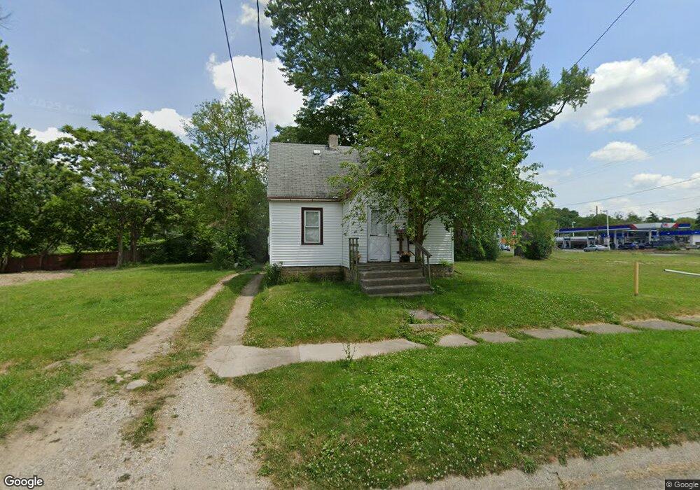
1910 Burns St Flint, MI 48506
Eastside NeighborhoodEstimated Value: $24,000 - $54,930
3
Beds
1
Bath
670
Sq Ft
$57/Sq Ft
Est. Value
About This Home
This home is located at 1910 Burns St, Flint, MI 48506 and is currently estimated at $38,483, approximately $57 per square foot. 1910 Burns St is a home located in Genesee County with nearby schools including Potter School, Flint Cultural Center Academy, and WAY Academy of Flint.
Ownership History
Date
Name
Owned For
Owner Type
Purchase Details
Closed on
Jan 10, 2017
Sold by
Cassleman Thomas Clayde and Casselman Carmen Cecilin Ramirez
Bought by
Lynn William James Edward and Lynn William Sessica
Current Estimated Value
Purchase Details
Closed on
Dec 5, 2012
Sold by
Swadling Kevin C and Estate Of Carl J Swadling
Bought by
Swadling Kevin C and Swadling Mandy L
Purchase Details
Closed on
Feb 28, 2000
Sold by
Norman Wendell
Bought by
Swadling Carl J and Swadling Sally J
Purchase Details
Closed on
Aug 2, 1999
Sold by
Amaya N J
Bought by
Wendell Norman Revocable Trust
Create a Home Valuation Report for This Property
The Home Valuation Report is an in-depth analysis detailing your home's value as well as a comparison with similar homes in the area
Home Values in the Area
Average Home Value in this Area
Purchase History
| Date | Buyer | Sale Price | Title Company |
|---|---|---|---|
| Lynn William James Edward | $1,000 | None Available | |
| Swadling Kevin C | -- | None Available | |
| Swadling Carl J | $15,035 | Lawyers Title Insurance Corp | |
| Swadling Carl J | -- | Lawyers Title Insurance Corp | |
| Wendell Norman Revocable Trust | $15,000 | Cislo Title Company |
Source: Public Records
Tax History Compared to Growth
Tax History
| Year | Tax Paid | Tax Assessment Tax Assessment Total Assessment is a certain percentage of the fair market value that is determined by local assessors to be the total taxable value of land and additions on the property. | Land | Improvement |
|---|---|---|---|---|
| 2025 | $540 | $8,900 | $0 | $0 |
| 2024 | $514 | $8,200 | $0 | $0 |
| 2023 | $513 | $7,200 | $0 | $0 |
| 2022 | $0 | $5,800 | $0 | $0 |
| 2021 | $513 | $5,600 | $0 | $0 |
| 2020 | $486 | $4,900 | $0 | $0 |
| 2019 | $486 | $4,900 | $0 | $0 |
| 2018 | $445 | $3,200 | $0 | $0 |
| 2017 | $400 | $0 | $0 | $0 |
| 2016 | $408 | $0 | $0 | $0 |
| 2015 | -- | $0 | $0 | $0 |
| 2014 | -- | $0 | $0 | $0 |
| 2012 | -- | $3,700 | $0 | $0 |
Source: Public Records
Map
Nearby Homes
- 1622 Arlington Ave
- 1510 N Vernon Ave
- 1501 Arlington Ave
- 2301 Missouri Ave
- 2225 Arlington Ave
- 2426 Missouri Ave
- 1318 Cronk Ave
- 2610 Pennsylvania Ave
- 2211 Torrance St
- 1805 Bennett Ave
- 1814 Mabel Ave
- 2605 Nebraska Ave
- 1644 Pennsylvania Ave
- 2426 Hoff St
- 2506 Arlington Ave
- 1605 Kearsley Park Blvd
- 1529 Broadway Blvd
- 1721 New York Ave
- 1445 Kearsley Park Kearsley Park
- 1622 New York Ave
- 1914 Burns St
- 2307 Davison Rd
- 1918 Burns St
- 1915 N Lynch St
- 1922 Burns St
- 1913 N Lynch St
- 1926 Burns St
- 1915 Burns St
- 1929 N Lynch St
- 2215 Davison Rd
- 1923 Burns St
- 2004 Burns St
- 1912 N Lynch St
- 2209 Davison Rd
- 2005 Burns St
- 1918 N Lynch St
- 2010 Burns St
- 1916 N Vernon Ave
- 2009 N Lynch St
- 1727 Penoyer Ct