1910 C C C Rd Dickson, TN 37055
Tennessee City Neighborhood
--
Bed
1
Bath
2,012
Sq Ft
338,461
Sq Ft Lot
About This Home
This home is located at 1910 C C C Rd, Dickson, TN 37055. 1910 C C C Rd is a home located in Dickson County with nearby schools including Centennial Elementary School, Dickson Middle School, and Dickson County High School.
Ownership History
Date
Name
Owned For
Owner Type
Purchase Details
Closed on
Sep 30, 2011
Sold by
Black Robert Jerry
Bought by
Crenshaw Rachelle Lee
Purchase Details
Closed on
Feb 2, 2000
Sold by
Springer Roger D
Bought by
Crenshaw Rachelle C
Purchase Details
Closed on
Mar 3, 1978
Bought by
Springer Roger D
Purchase Details
Closed on
Jan 1, 1978
Purchase Details
Closed on
Jan 1, 1976
Create a Home Valuation Report for This Property
The Home Valuation Report is an in-depth analysis detailing your home's value as well as a comparison with similar homes in the area
Home Values in the Area
Average Home Value in this Area
Purchase History
| Date | Buyer | Sale Price | Title Company |
|---|---|---|---|
| Crenshaw Rachelle Lee | -- | -- | |
| Crenshaw Rachelle C | $95,500 | -- | |
| Springer Roger D | -- | -- | |
| -- | $21,000 | -- | |
| -- | $15,500 | -- |
Source: Public Records
Tax History
| Year | Tax Paid | Tax Assessment Tax Assessment Total Assessment is a certain percentage of the fair market value that is determined by local assessors to be the total taxable value of land and additions on the property. | Land | Improvement |
|---|---|---|---|---|
| 2025 | $1,639 | $96,975 | $23,925 | $73,050 |
| 2024 | $409 | $24,175 | $23,925 | $250 |
| 2023 | $296 | $12,600 | $12,350 | $250 |
| 2022 | $296 | $12,600 | $12,350 | $250 |
| 2021 | $296 | $12,600 | $12,350 | $250 |
| 2020 | $377 | $12,600 | $12,350 | $250 |
| 2019 | $514 | $21,875 | $12,350 | $9,525 |
| 2018 | $368 | $13,625 | $9,300 | $4,325 |
| 2017 | $368 | $13,625 | $9,300 | $4,325 |
| 2016 | $368 | $13,625 | $9,300 | $4,325 |
| 2015 | $376 | $12,950 | $9,300 | $3,650 |
| 2014 | $376 | $12,950 | $9,300 | $3,650 |
Source: Public Records
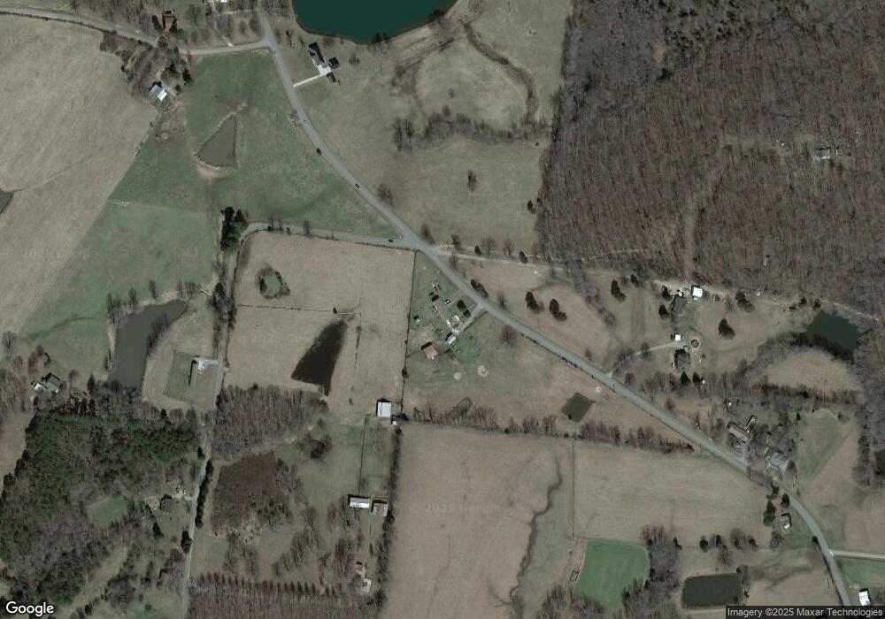
Map
Nearby Homes
- 1084 Manley Loop
- 0 Billy Wynn Rd
- 1640 Eno Rd
- 766 Billy Wynn Rd
- 1506 Garners Creek Rd
- 639 Pruett Rd
- 2280 C Rd
- 202 Rocky Dr
- 394 Pruett Rd
- 180 Old Garners Creek Rd
- 181 Duke Rd
- 607 Rocky Dr
- 1225 Eno Rd
- 109 Duke Rd
- 611 Rocky Dr
- 0 McElhiney Rd Unit RTC3171461
- 127 W Rd
- 264 Fire Tower Rd
- 0 Grindstone Hollow Rd
- 2248 Garners Creek Rd
- 1053 Manley Loop
- 1007 Manley Loop
- 1905 C C C Rd
- 1081 Manley Loop
- 1801 C C C Rd
- 1945 C C C Rd
- 1945 Hill Rd
- 1070 Manley Loop
- 1947 C C C Rd
- 1947 C Rd
- 0 Billy Wynn Rd
- 1060 Manley Loop
- 1966 C C C Rd
- 1099 Manley Loop
- 1965 C C C Rd
- 1764 C C C Rd
- 1968 C C C Rd
- 175 Burnett Ln
- 1725 C C C Rd
- 760 Jason Chapel Rd
Your Personal Tour Guide
Ask me questions while you tour the home.