Estimated Value: $93,959 - $143,000
Studio
1
Bath
1,170
Sq Ft
$100/Sq Ft
Est. Value
About This Home
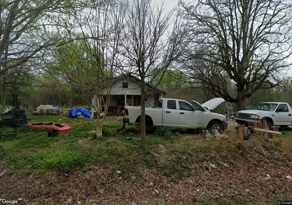
This home is located at 1910 Highway 200, Huron, TN 38345 and is currently estimated at $116,990, approximately $99 per square foot. 1910 Highway 200 is a home located in Henderson County.
Ownership History
Date
Name
Owned For
Owner Type
Purchase Details
Closed on
Sep 29, 2011
Sold by
Weatherford James
Bought by
Weatherford Penny
Current Estimated Value
Purchase Details
Closed on
Mar 4, 2002
Sold by
Hicks Kenneth L
Bought by
James Weatherford
Home Financials for this Owner
Home Financials are based on the most recent Mortgage that was taken out on this home.
Original Mortgage
$32,000
Interest Rate
6.98%
Purchase Details
Closed on
Nov 2, 2001
Sold by
Choate Nancy L Trustee
Bought by
Hicks Kenneth L
Purchase Details
Closed on
Dec 4, 2000
Sold by
Lamar Hicks
Bought by
James Reaves
Home Financials for this Owner
Home Financials are based on the most recent Mortgage that was taken out on this home.
Original Mortgage
$30,000
Interest Rate
7.71%
Purchase Details
Closed on
Nov 21, 1996
Sold by
Dennis Beecham
Bought by
Lamar Hicks
Create a Home Valuation Report for This Property
The Home Valuation Report is an in-depth analysis detailing your home's value as well as a comparison with similar homes in the area
Purchase History
| Date | Buyer | Sale Price | Title Company |
|---|---|---|---|
| Weatherford Penny | -- | -- | |
| James Weatherford | $32,000 | -- | |
| Hicks Kenneth L | $31,450 | -- | |
| James Reaves | $30,000 | -- | |
| Lamar Hicks | $27,500 | -- |
Source: Public Records
Mortgage History
| Date | Status | Borrower | Loan Amount |
|---|---|---|---|
| Previous Owner | Lamar Hicks | $32,000 | |
| Previous Owner | Lamar Hicks | $30,000 |
Source: Public Records
Tax History
| Year | Tax Paid | Tax Assessment Tax Assessment Total Assessment is a certain percentage of the fair market value that is determined by local assessors to be the total taxable value of land and additions on the property. | Land | Improvement |
|---|---|---|---|---|
| 2025 | $244 | $15,450 | $6,125 | $9,325 |
| 2024 | $244 | $15,450 | $6,125 | $9,325 |
| 2023 | $244 | $15,450 | $6,125 | $9,325 |
| 2022 | $232 | $9,775 | $4,675 | $5,100 |
| 2021 | $232 | $9,775 | $4,675 | $5,100 |
| 2020 | $232 | $9,775 | $4,675 | $5,100 |
| 2019 | $232 | $9,775 | $4,675 | $5,100 |
| 2018 | $223 | $9,775 | $4,675 | $5,100 |
| 2017 | $223 | $9,775 | $4,675 | $5,100 |
| 2016 | $210 | $8,825 | $4,675 | $4,150 |
| 2015 | $210 | $8,825 | $4,675 | $4,150 |
| 2014 | $210 | $8,820 | $0 | $0 |
Source: Public Records
Map
Nearby Homes
- Highway 200
- 0 Tennessee 200
- 0 Tennessee 200
- 96 Tennessee 200
- 3955 Tennessee 200
- 4295 Tennessee 200
- 000 Moonshine Loop
- 00 Moonshine Loop
- 235 Mallard Ln
- 0 Mills Darden Rd
- 5035 Tennessee 200
- 00 Moonshine Loop
- 5407 Highway 200
- 0 Cider Way
- 00 Cider Way
- 000 Moonshine Rd
- 715 Roundtree Ln
- 900 Hubberd Town Rd
- 592 Hubberd Town Rd
- 2160 Jones Rd
- 1865 Highway 200
- 2095 Highway 200
- 1705 Highway 200
- 1980 Tennessee 200
- 1980 Highway 200
- 170 Browns School Rd
- 2180 Highway 200
- 2250 Highway 200
- 000 Huron Rd
- 99 Blue Bird Ln
- 480 Garner St
- 1500 Highway 200
- 260 Browns School Rd
- 300 Blue Bird Ln
- 190 Huron Rd
- 300 Huron Rd
- 970 Adcock Rd
- 295 Huron Rd
- 2945 Highway 200
Your Personal Tour Guide
Ask me questions while you tour the home.