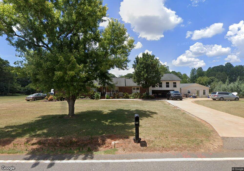
1910 John Dodd Rd Wellford, SC 29385
Estimated Value: $328,000 - $391,000
5
Beds
3
Baths
2,842
Sq Ft
$126/Sq Ft
Est. Value
About This Home
This home is located at 1910 John Dodd Rd, Wellford, SC 29385 and is currently estimated at $357,731, approximately $125 per square foot. 1910 John Dodd Rd is a home located in Spartanburg County with nearby schools including Dorman High School Freshman Campus, Dorman High School, and High Point Academy.
Ownership History
Date
Name
Owned For
Owner Type
Purchase Details
Closed on
May 25, 2007
Sold by
Fannie Mae
Bought by
White Talmadge L
Current Estimated Value
Home Financials for this Owner
Home Financials are based on the most recent Mortgage that was taken out on this home.
Original Mortgage
$131,840
Interest Rate
6.12%
Mortgage Type
Purchase Money Mortgage
Purchase Details
Closed on
May 21, 2007
Sold by
Brown Michael R and Bourne Robert
Bought by
Federal National Mortgage Association
Home Financials for this Owner
Home Financials are based on the most recent Mortgage that was taken out on this home.
Original Mortgage
$131,840
Interest Rate
6.12%
Mortgage Type
Purchase Money Mortgage
Purchase Details
Closed on
Mar 21, 2002
Sold by
Lancaster William R and Lancaster Josephine Edna Pell
Bought by
Brown Michael R and Bourne Robert
Create a Home Valuation Report for This Property
The Home Valuation Report is an in-depth analysis detailing your home's value as well as a comparison with similar homes in the area
Home Values in the Area
Average Home Value in this Area
Purchase History
| Date | Buyer | Sale Price | Title Company |
|---|---|---|---|
| White Talmadge L | -- | None Available | |
| Federal National Mortgage Association | $162,067 | None Available | |
| Brown Michael R | $161,100 | -- |
Source: Public Records
Mortgage History
| Date | Status | Borrower | Loan Amount |
|---|---|---|---|
| Previous Owner | White Talmadge L | $131,840 |
Source: Public Records
Tax History Compared to Growth
Tax History
| Year | Tax Paid | Tax Assessment Tax Assessment Total Assessment is a certain percentage of the fair market value that is determined by local assessors to be the total taxable value of land and additions on the property. | Land | Improvement |
|---|---|---|---|---|
| 2025 | $1,562 | $9,560 | $704 | $8,856 |
| 2024 | $1,562 | $9,560 | $704 | $8,856 |
| 2023 | $1,562 | $9,560 | $704 | $8,856 |
| 2022 | $1,602 | $9,232 | $512 | $8,720 |
| 2021 | $1,602 | $9,232 | $512 | $8,720 |
| 2020 | $1,576 | $9,232 | $512 | $8,720 |
| 2019 | $1,576 | $9,232 | $512 | $8,720 |
| 2018 | $1,576 | $9,232 | $512 | $8,720 |
| 2017 | $4,462 | $12,348 | $768 | $11,580 |
| 2016 | $1,390 | $8,232 | $512 | $7,720 |
| 2015 | $1,385 | $8,232 | $512 | $7,720 |
| 2014 | $1,341 | $8,232 | $512 | $7,720 |
Source: Public Records
Map
Nearby Homes
- 531 Valencia Cir
- Cali Plan at Treemont Commons
- Rachel Plan at Treemont Commons
- Belhaven Plan at Treemont Commons
- Hayden Plan at Treemont Commons
- Penwell Plan at Treemont Commons
- 523 Valencia Cir
- Macon Plan at Treemont Commons
- Shane Plan at Treemont Commons
- Aria Plan at Treemont Commons
- 1012 Gagmon Dr
- 1016 Gagmon Dr
- 1017 Gagmon Dr
- 1265 Cleve Gosnell Ln
- 1256 Cleve Gosnell Ln
- 1261 Cleve Gosnell Ln
- 1257 Cleve Gosnell Ln
- 1253 Cleve Gosnell Ln
- 1244 Cleve Gosnell Ln
- 1249 Cleve Gosnell Ln
- 1904 John Dodd Rd
- 211 Millwood Ln
- 205 Millwood Ln
- 219 Millwood Ln
- 1927 John Dodd Rd
- 1929 John Dodd Rd
- 1921 John Dodd Rd
- 1898 John Dodd Rd
- 1934 John Dodd Rd
- 221 Millwood Ln
- 210 Millwood Ln
- 216 Millwood Ln
- 185 Millwood Ln
- 185 Millwood Ln
- 1939 John Dodd Rd
- 1956 John Dodd Rd
- 190 Millwood Ln
- 190 Millwood Ln
- 220 Millwood Ln
- 1884 John Dodd Rd