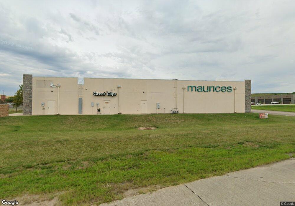
1910 Kittyhawk Rd Carroll, IA 51401
Estimated Value: $1,376,117
--
Bed
--
Bath
8,125
Sq Ft
$169/Sq Ft
Est. Value
About This Home
This home is located at 1910 Kittyhawk Rd, Carroll, IA 51401 and is currently estimated at $1,376,117, approximately $169 per square foot. 1910 Kittyhawk Rd is a home located in Carroll County with nearby schools including Fairview Elementary School, Adams Elementary School, and Carroll Middle School.
Ownership History
Date
Name
Owned For
Owner Type
Purchase Details
Closed on
Aug 18, 2021
Sold by
Carroll Development Group Llc
Bought by
Sanav Carroll Holdings Llc
Current Estimated Value
Home Financials for this Owner
Home Financials are based on the most recent Mortgage that was taken out on this home.
Original Mortgage
$880,000
Outstanding Balance
$798,987
Interest Rate
2.8%
Mortgage Type
New Conventional
Estimated Equity
$577,130
Purchase Details
Closed on
Sep 28, 2012
Sold by
Wal Mart Stores Inc
Bought by
Carroll Development Group Llc
Purchase Details
Closed on
Feb 11, 2007
Sold by
Frank Harry D and Frank Verna E
Bought by
Wal Mart Stores Inc
Create a Home Valuation Report for This Property
The Home Valuation Report is an in-depth analysis detailing your home's value as well as a comparison with similar homes in the area
Home Values in the Area
Average Home Value in this Area
Purchase History
| Date | Buyer | Sale Price | Title Company |
|---|---|---|---|
| Sanav Carroll Holdings Llc | $1,100,000 | None Listed On Document | |
| Carroll Development Group Llc | $115,000 | Stewart Title Guaranty Compa | |
| Wal Mart Stores Inc | $8,000 | Security Title & Investment |
Source: Public Records
Mortgage History
| Date | Status | Borrower | Loan Amount |
|---|---|---|---|
| Open | Sanav Carroll Holdings Llc | $880,000 |
Source: Public Records
Tax History Compared to Growth
Tax History
| Year | Tax Paid | Tax Assessment Tax Assessment Total Assessment is a certain percentage of the fair market value that is determined by local assessors to be the total taxable value of land and additions on the property. | Land | Improvement |
|---|---|---|---|---|
| 2025 | $20,528 | $995,470 | $131,630 | $863,840 |
| 2024 | $20,552 | $895,920 | $131,630 | $764,290 |
| 2023 | $19,219 | $895,920 | $131,630 | $764,290 |
| 2022 | $19,854 | $823,710 | $131,630 | $692,080 |
| 2021 | $19,854 | $823,710 | $131,630 | $692,080 |
| 2020 | $20,573 | $851,320 | $131,630 | $719,690 |
| 2019 | $20,276 | $851,320 | $131,630 | $719,690 |
| 2018 | $19,540 | $851,320 | $131,630 | $719,690 |
| 2017 | $18,728 | $843,050 | $143,477 | $699,573 |
| 2016 | $17,914 | $773,440 | $0 | $0 |
| 2015 | $17,914 | $817,760 | $0 | $0 |
| 2014 | $18,682 | $252,800 | $0 | $0 |
Source: Public Records
Map
Nearby Homes
- 1810 Crestview Dr
- 0 E 10th St Unit 5423085
- 0 E 10th St Unit 6324630
- 0 E 10th St Unit 6319081
- 1608 Salinger Ave
- 711 W 21st St
- 1852 Quint Ave
- 611 W 21st St
- 631 W 17th St
- 907 Salinger Ave
- 1306 Simon Ave
- 0 Deer Creek Ln Unit 6302348
- 219 Windwood Dr
- 1509 Birch St
- 619 W 2nd St
- 1320 N Adams St
- 1015 N Adams St
- 1601 N Main St
- 1515 N Main St
- 19383 U S 30
- 0 Highway 30 W Unit 5422227
- 1 Kittyhawk Dr
- 0 Kittyhawk Dr Unit 6154028
- 18892 Kittyhawk Ave
- 1962 Industrial Park Rd
- 1 Industrial Park Rd
- 0 Industrial Park Rd
- 1407 W Us Highway 30
- 1137 W 20th St
- 1835 N Us Highway 71
- 1223 W U S Highway 30
- 1731 N U S Highway 71
- 1731 N Us Highway 71
- 1801 N Us Highway 71
- 18657 U S 71
- 1832 N Us Highway 71
- 1812 N Us Highway 71
- 1822 N Us Highway 71
- 1822 N Us Highway 71
- 1019 W 19th St