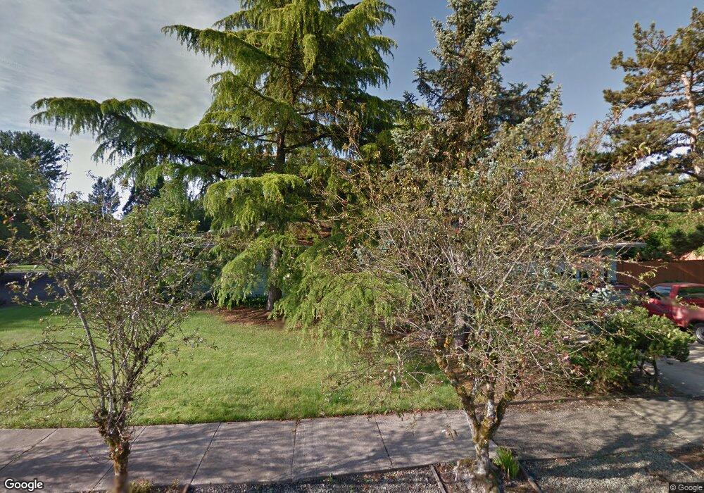
1910 NW Arthur Ave Corvallis, OR 97330
Northwest Corvallis NeighborhoodEstimated Value: $508,000 - $536,000
3
Beds
2
Baths
1,431
Sq Ft
$364/Sq Ft
Est. Value
About This Home
This home is located at 1910 NW Arthur Ave, Corvallis, OR 97330 and is currently estimated at $521,025, approximately $364 per square foot. 1910 NW Arthur Ave is a home located in Benton County with nearby schools including Garfield Elementary School, Linus Pauling Middle School, and Corvallis High School.
Ownership History
Date
Name
Owned For
Owner Type
Purchase Details
Closed on
Jul 26, 2021
Sold by
Poole James Edward
Bought by
Poole James E and James E Poole Trust
Current Estimated Value
Home Financials for this Owner
Home Financials are based on the most recent Mortgage that was taken out on this home.
Original Mortgage
$175,000
Outstanding Balance
$132,924
Interest Rate
2.2%
Mortgage Type
New Conventional
Estimated Equity
$388,101
Purchase Details
Closed on
Jun 28, 2007
Sold by
Peter Tomasovic Estate
Bought by
Campbell John R and Campbell Holly Victoria Pink
Home Financials for this Owner
Home Financials are based on the most recent Mortgage that was taken out on this home.
Original Mortgage
$147,500
Interest Rate
6.21%
Mortgage Type
Purchase Money Mortgage
Create a Home Valuation Report for This Property
The Home Valuation Report is an in-depth analysis detailing your home's value as well as a comparison with similar homes in the area
Home Values in the Area
Average Home Value in this Area
Purchase History
| Date | Buyer | Sale Price | Title Company |
|---|---|---|---|
| Poole James E | -- | None Available | |
| Campbell John R | $257,500 | Ticor Title |
Source: Public Records
Mortgage History
| Date | Status | Borrower | Loan Amount |
|---|---|---|---|
| Open | Poole James E | $175,000 | |
| Closed | Campbell John R | $147,500 |
Source: Public Records
Tax History Compared to Growth
Tax History
| Year | Tax Paid | Tax Assessment Tax Assessment Total Assessment is a certain percentage of the fair market value that is determined by local assessors to be the total taxable value of land and additions on the property. | Land | Improvement |
|---|---|---|---|---|
| 2024 | $4,813 | $250,559 | -- | -- |
| 2023 | $4,532 | $243,261 | $0 | $0 |
| 2022 | $4,400 | $236,176 | $0 | $0 |
| 2021 | $4,254 | $229,297 | $0 | $0 |
| 2020 | $4,231 | $222,618 | $0 | $0 |
| 2019 | $3,900 | $216,134 | $0 | $0 |
| 2018 | $3,920 | $209,839 | $0 | $0 |
| 2017 | $3,627 | $203,727 | $0 | $0 |
| 2016 | $3,546 | $197,793 | $0 | $0 |
| 2015 | $3,438 | $192,032 | $0 | $0 |
| 2014 | $3,349 | $186,439 | $0 | $0 |
| 2012 | -- | $175,737 | $0 | $0 |
Source: Public Records
Map
Nearby Homes
- 1430 NW 15th St
- 1730 NW 13th St
- 1805 NW Grant Ave
- 2040 NW 23rd St
- 1230 NW 23rd St
- 1925 NW 14th St
- 1524 NW Forestgreen Ave
- 1583 NW Forestgreen Ave
- 1225 NW 18th St
- 1919 NW Buchanan Ave
- 1835 NW Juniper Place
- 1720 NW Division St
- 2941 NW Elmwood Dr
- 1355 NW 11th St
- 1100 NW Dixon St
- 2005 NW Taylor Ave
- 2880 NW Lincoln Ave
- 3032 NW Grant Ave
- 2125 NW Highland Dr
- 620 NW 19th St
- 1845 NW Arthur Cir
- 1915 NW Arthur Ave
- 1855 NW Arthur Cir
- 1850 NW Arthur Cir
- 2035 NW Arthur Place
- 2037 NW Arthur Place
- 2033 NW Arthur Place
- 1780 NW Arthur Cir
- 2039 NW Arthur Place
- 2029 NW Arthur Place
- 1865 NW Arthur Cir
- 1815 NW Arthur Cir
- 2041 NW Arthur Place
- 1770 NW Arthur Cir
- 2013 NW Arthur Place Unit 2015
- 1760 NW Arthur Cir
- 2053 NW Arthur Place
- 1875 NW Arthur Cir
- 1875 NW Arthur Cir
- 1880 NW Arthur Cir