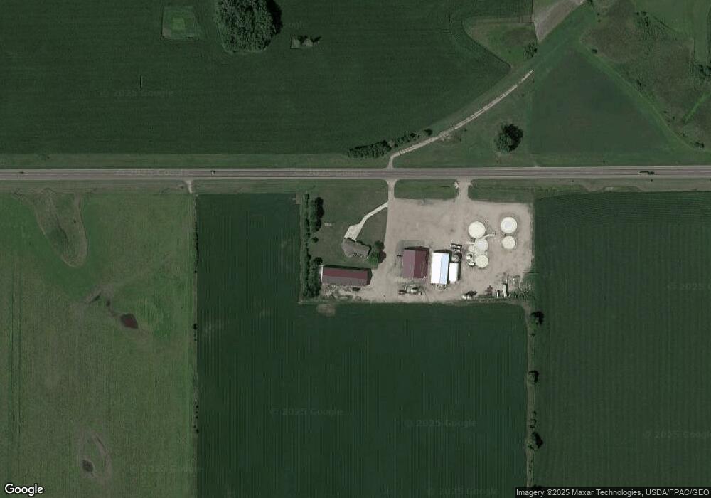
19103 Highway 212 Brownton, MN 55312
Estimated Value: $405,000 - $1,024,213
--
Bed
--
Bath
2,598
Sq Ft
$275/Sq Ft
Est. Value
About This Home
This home is located at 19103 Highway 212, Brownton, MN 55312 and is currently estimated at $714,607, approximately $275 per square foot. 19103 Highway 212 is a home located in McLeod County with nearby schools including Lincoln Elementary School, Lakeside Elementary School, and Glencoe-Silver Lake Jr. High School.
Create a Home Valuation Report for This Property
The Home Valuation Report is an in-depth analysis detailing your home's value as well as a comparison with similar homes in the area
Home Values in the Area
Average Home Value in this Area
Tax History Compared to Growth
Tax History
| Year | Tax Paid | Tax Assessment Tax Assessment Total Assessment is a certain percentage of the fair market value that is determined by local assessors to be the total taxable value of land and additions on the property. | Land | Improvement |
|---|---|---|---|---|
| 2024 | $12,064 | $1,081,600 | $181,000 | $900,600 |
| 2023 | $7,512 | $1,019,300 | $163,700 | $855,600 |
| 2022 | $5,290 | $737,100 | $163,700 | $573,400 |
| 2021 | $10,642 | $554,900 | $89,900 | $465,000 |
| 2020 | $6,174 | $732,100 | $89,900 | $642,200 |
| 2019 | $2,948 | $556,500 | $81,700 | $474,800 |
| 2018 | $2,740 | $0 | $0 | $0 |
| 2017 | $2,640 | $0 | $0 | $0 |
| 2016 | $2,652 | $0 | $0 | $0 |
| 2015 | $2,448 | $0 | $0 | $0 |
| 2014 | -- | $0 | $0 | $0 |
Source: Public Records
Map
Nearby Homes
- XXX US Hwy 212
- xxx Lot 2 Us Hwy 212
- xxx Lot 3 Division St W
- 122 2nd Ave S
- 304 1st Ave N
- 221 3rd Ave S
- Lot 2 U S Highway 212
- 7612 Plum Ave
- 237 5th St N
- 531 2nd St N
- 752 2nd St N
- 16452 90th St
- 11655 Sunset Cir
- 12893 County Road 7
- 11742 Sunset Cir
- 800 Powers St
- Lot 2 Tagus Ave
- 7900 Lace Ave N
- 7900 Lace Ave
- 13198 100th St