19109 115th Dr Brownton, MN 55312
Estimated Value: $449,000 - $848,000
3
Beds
2
Baths
2,192
Sq Ft
$288/Sq Ft
Est. Value
About This Home
This home is located at 19109 115th Dr, Brownton, MN 55312 and is currently estimated at $631,251, approximately $287 per square foot. 19109 115th Dr is a home with nearby schools including Lincoln Elementary School, Lakeside Elementary School, and Glencoe-Silver Lake Jr. High School.
Create a Home Valuation Report for This Property
The Home Valuation Report is an in-depth analysis detailing your home's value as well as a comparison with similar homes in the area
Home Values in the Area
Average Home Value in this Area
Tax History Compared to Growth
Tax History
| Year | Tax Paid | Tax Assessment Tax Assessment Total Assessment is a certain percentage of the fair market value that is determined by local assessors to be the total taxable value of land and additions on the property. | Land | Improvement |
|---|---|---|---|---|
| 2024 | $3,718 | $483,600 | $163,800 | $319,800 |
| 2023 | $3,110 | $403,200 | $138,600 | $264,600 |
| 2022 | $3,028 | $383,900 | $119,100 | $264,800 |
| 2021 | $2,860 | $299,400 | $88,200 | $211,200 |
| 2020 | $2,958 | $278,300 | $88,200 | $190,100 |
| 2019 | $2,706 | $278,200 | $75,600 | $202,600 |
| 2018 | $2,550 | $0 | $0 | $0 |
| 2017 | $2,392 | $0 | $0 | $0 |
| 2016 | $2,362 | $0 | $0 | $0 |
| 2015 | $2,054 | $0 | $0 | $0 |
| 2014 | -- | $0 | $0 | $0 |
Source: Public Records
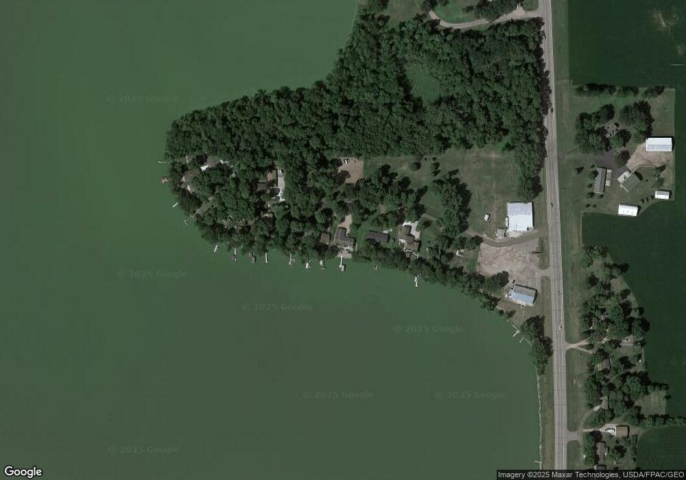
Map
Nearby Homes
- 11742 Sunset Cir
- 11655 Sunset Cir
- Lot 2 Tagus Ave
- 237 5th St N
- 304 1st Ave N
- 16452 90th St
- xxx Lot 3 Division St W
- 531 2nd St N
- 122 2nd Ave S
- 752 2nd St N
- 15092 Highway 15 S
- 221 3rd Ave S
- 12893 County Road 7
- 15554 130th St
- XXX US Hwy 212
- xxx Lot 2 Us Hwy 212
- 7612 Plum Ave
- Lot 2 U S Highway 212
- XXX Airport Rd
- 13198 100th St