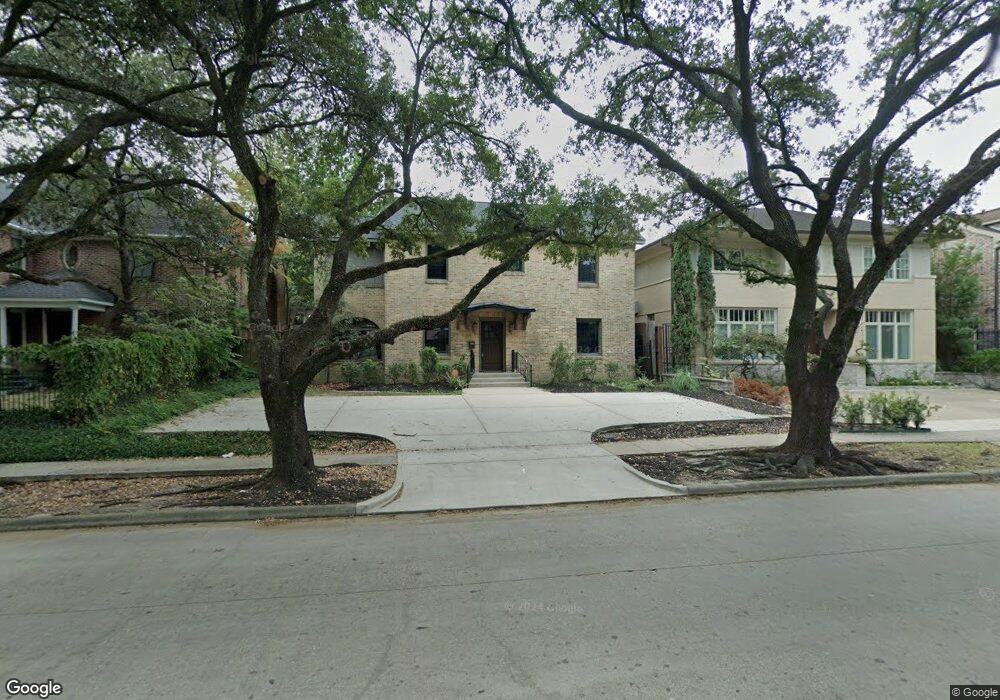
1911 Bissonnet St Unit C Houston, TX 77005
University Place NeighborhoodEstimated Value: $984,000 - $1,262,000
1
Bed
1
Bath
2,788
Sq Ft
$403/Sq Ft
Est. Value
About This Home
This home is located at 1911 Bissonnet St Unit C, Houston, TX 77005 and is currently estimated at $1,122,972, approximately $402 per square foot. 1911 Bissonnet St Unit C is a home located in Harris County with nearby schools including Poe Elementary School, Lanier Middle School, and Lamar High School.
Ownership History
Date
Name
Owned For
Owner Type
Purchase Details
Closed on
Nov 19, 2016
Sold by
Palathinkara Vinod
Bought by
Palathinkara Rajashree and Palathinkara Rajashree
Current Estimated Value
Purchase Details
Closed on
May 2, 2016
Sold by
Barrier Rebecca M
Bought by
Palathinkara Vinod and Palathinkara Rajasree
Home Financials for this Owner
Home Financials are based on the most recent Mortgage that was taken out on this home.
Original Mortgage
$500,000
Interest Rate
3.71%
Mortgage Type
New Conventional
Create a Home Valuation Report for This Property
The Home Valuation Report is an in-depth analysis detailing your home's value as well as a comparison with similar homes in the area
Home Values in the Area
Average Home Value in this Area
Purchase History
| Date | Buyer | Sale Price | Title Company |
|---|---|---|---|
| Palathinkara Rajashree | -- | None Available | |
| Palathinkara Vinod | -- | None Available |
Source: Public Records
Mortgage History
| Date | Status | Borrower | Loan Amount |
|---|---|---|---|
| Previous Owner | Palathinkara Vinod | $500,000 |
Source: Public Records
Tax History Compared to Growth
Tax History
| Year | Tax Paid | Tax Assessment Tax Assessment Total Assessment is a certain percentage of the fair market value that is determined by local assessors to be the total taxable value of land and additions on the property. | Land | Improvement |
|---|---|---|---|---|
| 2025 | $16,877 | $810,990 | $567,000 | $243,990 |
| 2024 | $16,877 | $806,586 | $567,000 | $239,586 |
| 2023 | $16,877 | $806,586 | $567,000 | $239,586 |
| 2022 | $16,094 | $730,908 | $567,000 | $163,908 |
| 2021 | $16,763 | $719,238 | $510,300 | $208,938 |
| 2020 | $16,115 | $665,461 | $491,400 | $174,061 |
| 2019 | $16,727 | $661,029 | $434,700 | $226,329 |
| 2018 | $13,116 | $518,340 | $434,700 | $83,640 |
| 2017 | $13,107 | $518,340 | $434,700 | $83,640 |
| 2016 | $13,107 | $518,340 | $434,700 | $83,640 |
| 2015 | $12,649 | $518,340 | $434,700 | $83,640 |
| 2014 | $12,649 | $492,040 | $351,540 | $140,500 |
Source: Public Records
Map
Nearby Homes
- 1832 Albans Rd
- 5220 Hazard St
- 2042 Bissonnet St
- 2039 South Blvd
- 1801 Sunset Blvd
- 2114 Wroxton Rd
- 2122 Wroxton Rd
- 1928 Dunstan Rd
- 1723 Albans Rd
- 1723 Milford St
- 2016 Milford St
- 1819 Banks St
- 1723 Sunset Blvd
- 1700 Sunset Blvd Unit E
- 1741 Banks St
- 5309 Cherokee St
- 2121 Quenby St
- 2129 Quenby St
- 2205 North Blvd
- 2127 Milford St
- 1911 Bissonnet St
- 1911 Bissonnet St Unit D
- 1911 Bissonnet St Unit A
- 1911 Bissonnet St Unit B
- 1915 Bissonnet St
- 1905 Bissonnet St
- 1919 Bissonnet St
- 1901 Bissonnet St
- 1910 Wroxton Rd
- 1914 Wroxton Rd
- 1906 Wroxton Rd
- 1925 Bissonnet St
- 1912 Bissonnet St
- 1918 Wroxton Rd
- 1908 Bissonnet St
- 1902 Wroxton Rd
- 1904 Bissonnet St
- 1922 Wroxton Rd
- 1927 Bissonnet St
- 1900 Bissonnet St