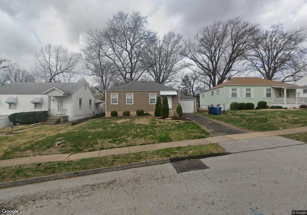
1911 Bryant Ave Saint Louis, MO 63114
Estimated Value: $110,000 - $151,000
2
Beds
1
Bath
768
Sq Ft
$169/Sq Ft
Est. Value
About This Home
This home is located at 1911 Bryant Ave, Saint Louis, MO 63114 and is currently estimated at $129,437, approximately $168 per square foot. 1911 Bryant Ave is a home located in St. Louis County with nearby schools including Iveland Elementary School, Hoech Middle School, and Ritenour Senior High School.
Ownership History
Date
Name
Owned For
Owner Type
Purchase Details
Closed on
Aug 15, 2011
Sold by
Citimortgage Inc
Bought by
Cates Rebecca J
Current Estimated Value
Purchase Details
Closed on
May 10, 2011
Sold by
Dennison Cherri L
Bought by
Citimortgage Inc
Purchase Details
Closed on
Jun 1, 1999
Sold by
Dennison Cherri L
Bought by
Dennison Chandi K
Create a Home Valuation Report for This Property
The Home Valuation Report is an in-depth analysis detailing your home's value as well as a comparison with similar homes in the area
Home Values in the Area
Average Home Value in this Area
Purchase History
| Date | Buyer | Sale Price | Title Company |
|---|---|---|---|
| Cates Rebecca J | $17,500 | Us Title Main | |
| Citimortgage Inc | $12,137 | None Available | |
| Dennison Chandi K | -- | -- | |
| Dennison Cherri L | -- | -- |
Source: Public Records
Tax History
| Year | Tax Paid | Tax Assessment Tax Assessment Total Assessment is a certain percentage of the fair market value that is determined by local assessors to be the total taxable value of land and additions on the property. | Land | Improvement |
|---|---|---|---|---|
| 2025 | $1,637 | $26,110 | $6,860 | $19,250 |
| 2024 | $1,637 | $19,040 | $3,140 | $15,900 |
| 2023 | $1,601 | $19,040 | $3,140 | $15,900 |
| 2022 | $1,433 | $14,920 | $2,740 | $12,180 |
| 2021 | $1,432 | $14,920 | $2,740 | $12,180 |
| 2020 | $1,563 | $15,050 | $3,120 | $11,930 |
| 2019 | $1,548 | $15,050 | $3,120 | $11,930 |
| 2018 | $1,508 | $13,190 | $2,760 | $10,430 |
| 2017 | $1,438 | $13,190 | $2,760 | $10,430 |
| 2016 | $1,225 | $11,420 | $3,140 | $8,280 |
Source: Public Records
Map
Nearby Homes
- 1735 O Connell Ave
- 10027 Lackland Rd
- 1940 Stedman Ct
- 10024 Driver Ave
- 10239 Driver Ave
- 1805 Uceyle Ave
- 10111 Niblic Dr
- 10107 Niblic Dr
- 10416 Lackland Rd
- 9822 Zykan Dr
- 1914 Overland Dr
- 2000 Wismer Ave
- 10327 Eaglewood Ave
- 1825 Ashby Rd
- 2242 Huntington Ave
- 9741 Trescott Ave
- 10508 Scotland Dr
- 2324 Huntington Ave
- 9608 Miriam Ave
- 9726 Lackland Rd
- 1907 Bryant Ave
- 1915 Bryant Ave
- 1919 Bryant Ave
- 1901 Bryant Ave
- 1912 Dyer Ave
- 1923 Bryant Ave
- 1908 Bryant Ave
- 1912 Bryant Ave
- 10107 Eastbrook Dr
- 1932 Dyer Ave
- 1900 Bryant Ave
- 1916 Bryant Ave
- 1908 Dyer Ave
- 1927 Bryant Ave
- 1920 Bryant Ave
- 1906 Dyer Ave
- 1936 Dyer Ave
- 1924 Bryant Ave
- 1931 Bryant Ave
- 1901 Clare Ct
Your Personal Tour Guide
Ask me questions while you tour the home.