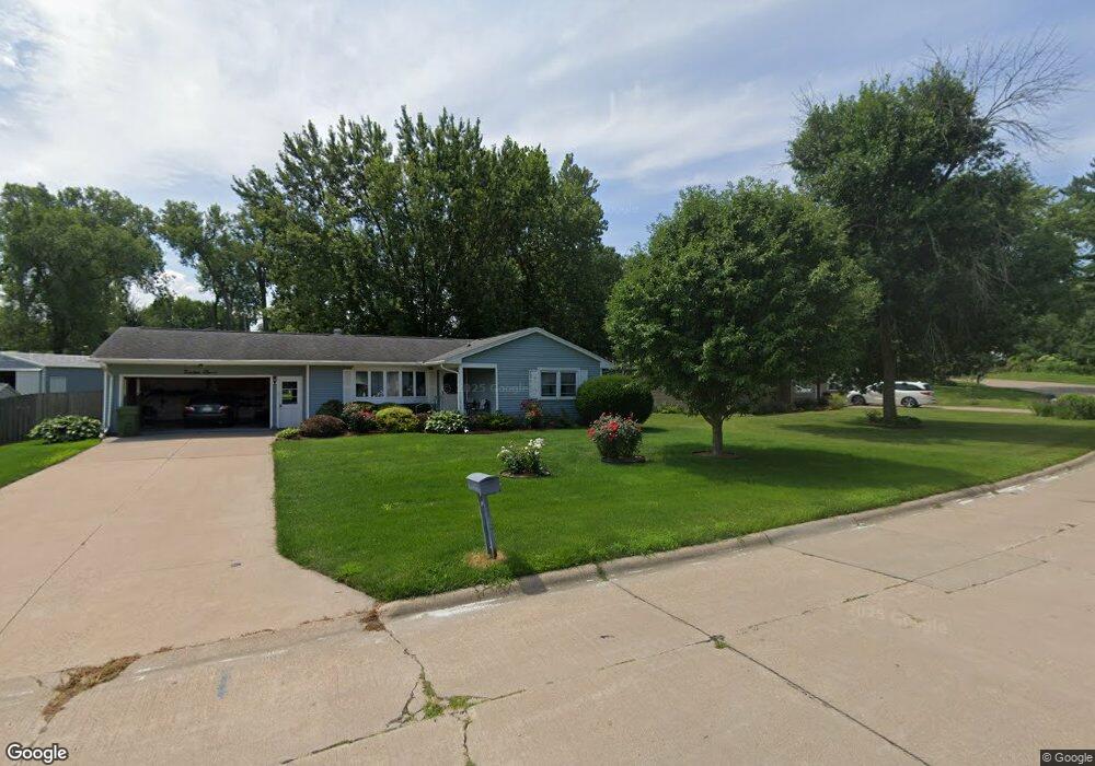
1911 Circle Dr N Clinton, IA 52732
Estimated Value: $165,000 - $182,000
3
Beds
3
Baths
1,167
Sq Ft
$149/Sq Ft
Est. Value
About This Home
This home is located at 1911 Circle Dr N, Clinton, IA 52732 and is currently estimated at $173,535, approximately $148 per square foot. 1911 Circle Dr N is a home located in Clinton County with nearby schools including Whittier Elementary School, Clinton Middle School, and Clinton High School.
Ownership History
Date
Name
Owned For
Owner Type
Purchase Details
Closed on
Apr 28, 2007
Sold by
Winkler Thomas A and Winkler Barbara Jean
Bought by
Davis Hertis and Davis Faye C
Current Estimated Value
Home Financials for this Owner
Home Financials are based on the most recent Mortgage that was taken out on this home.
Original Mortgage
$100,716
Outstanding Balance
$61,096
Interest Rate
6.21%
Mortgage Type
New Conventional
Estimated Equity
$112,439
Create a Home Valuation Report for This Property
The Home Valuation Report is an in-depth analysis detailing your home's value as well as a comparison with similar homes in the area
Home Values in the Area
Average Home Value in this Area
Purchase History
| Date | Buyer | Sale Price | Title Company |
|---|---|---|---|
| Davis Hertis | $120,000 | None Available |
Source: Public Records
Mortgage History
| Date | Status | Borrower | Loan Amount |
|---|---|---|---|
| Open | Davis Hertis | $100,716 |
Source: Public Records
Tax History Compared to Growth
Tax History
| Year | Tax Paid | Tax Assessment Tax Assessment Total Assessment is a certain percentage of the fair market value that is determined by local assessors to be the total taxable value of land and additions on the property. | Land | Improvement |
|---|---|---|---|---|
| 2025 | $2,492 | $163,160 | $21,780 | $141,380 |
| 2024 | $2,492 | $144,110 | $21,780 | $122,330 |
| 2023 | $2,452 | $144,110 | $21,780 | $122,330 |
| 2022 | $2,470 | $124,370 | $19,240 | $105,130 |
| 2021 | $2,610 | $124,370 | $19,240 | $105,130 |
| 2020 | $2,610 | $123,890 | $17,100 | $106,790 |
| 2019 | $2,942 | $131,940 | $0 | $0 |
| 2018 | $2,860 | $131,940 | $0 | $0 |
| 2017 | $2,860 | $131,940 | $0 | $0 |
| 2016 | $2,150 | $101,745 | $0 | $0 |
| 2015 | $2,150 | $101,745 | $0 | $0 |
| 2014 | $2,158 | $101,745 | $0 | $0 |
| 2013 | -- | $0 | $0 | $0 |
Source: Public Records
Map
Nearby Homes
- 819 Millcrest Ct
- 1908 Circle Dr S
- 1836 Zara Trace
- 1830 Zara Trace
- 1824 Zara Trace
- 1818 Zara Trace
- 1825 5th Ave S
- 1813 Zara Trace St
- 2340 Lafayette Terrace
- 1510 7th Ave S
- 1805 Zara Trace
- 1825 Zara Trace
- 1819 Zara Trace
- 1837 Zara Trace
- 1907 Zara Trace
- 1915 Zara Trace
- 1921 Zara Trace
- 1933 Zara Trace
- 1400 8th Ave S
- 1924 Zara Trace
- 1907 Circle Dr N
- 1919 Circle Dr N
- 1904 Circle Dr N
- 1951 Overlook Ct
- 1927 Circle Dr N
- 1927 Circle Dr N Unit North
- 1955 Overlook Ct
- 825 Millcrest Ct
- 829 Millcrest Ct
- 916 Circle Dr N
- 1962 Overlook Ct
- 1962 Overlook Ct
- 904 Circle Dr N
- 816 Millcrest Ct
- 826 Millcrest Ct
- 822 Millcrest Ct
- 826 Millcrest Ct Unit Court
- 1949 Glendale Rd
- 917 Circle Dr N
- 1900 Glendale Rd