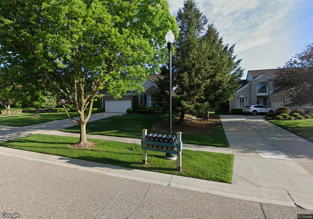
1911 Dunham Dr Unit 87 Rochester, MI 48306
Estimated Value: $501,308 - $566,000
3
Beds
3
Baths
2,501
Sq Ft
$213/Sq Ft
Est. Value
About This Home
This home is located at 1911 Dunham Dr Unit 87, Rochester, MI 48306 and is currently estimated at $532,077, approximately $212 per square foot. 1911 Dunham Dr Unit 87 is a home located in Oakland County with nearby schools including Hart Middle School, Hugger Elementary School, and Stoney Creek High School.
Ownership History
Date
Name
Owned For
Owner Type
Purchase Details
Closed on
Apr 16, 2020
Sold by
Dee William G
Bought by
Whelan Susan J
Current Estimated Value
Purchase Details
Closed on
Sep 25, 2018
Sold by
Whelan Susan J
Bought by
Dee William G and Whelan Susan J
Purchase Details
Closed on
Aug 1, 2007
Sold by
Grathwohl Bruce R and Grathwohl Alyson C
Bought by
Whelan Susan J
Purchase Details
Closed on
Jan 25, 2000
Sold by
Pulte Land Dev Corp
Bought by
Grathwohl Bruce R
Create a Home Valuation Report for This Property
The Home Valuation Report is an in-depth analysis detailing your home's value as well as a comparison with similar homes in the area
Home Values in the Area
Average Home Value in this Area
Purchase History
| Date | Buyer | Sale Price | Title Company |
|---|---|---|---|
| Whelan Susan J | -- | None Available | |
| Dee William G | $167,500 | None Available | |
| Whelan Susan J | $312,000 | None Available | |
| Grathwohl Bruce R | -- | -- |
Source: Public Records
Tax History Compared to Growth
Tax History
| Year | Tax Paid | Tax Assessment Tax Assessment Total Assessment is a certain percentage of the fair market value that is determined by local assessors to be the total taxable value of land and additions on the property. | Land | Improvement |
|---|---|---|---|---|
| 2024 | $4,305 | $223,750 | $0 | $0 |
| 2023 | $4,122 | $204,220 | $0 | $0 |
| 2022 | $4,385 | $194,810 | $0 | $0 |
| 2021 | $4,120 | $191,180 | $0 | $0 |
| 2020 | $3,868 | $185,050 | $0 | $0 |
| 2019 | $4,253 | $180,380 | $0 | $0 |
| 2018 | $4,248 | $174,420 | $0 | $0 |
| 2017 | $4,165 | $173,100 | $0 | $0 |
| 2016 | $4,033 | $167,850 | $0 | $0 |
| 2015 | -- | $149,250 | $0 | $0 |
| 2014 | -- | $130,520 | $0 | $0 |
| 2011 | -- | $109,080 | $0 | $0 |
Source: Public Records
Map
Nearby Homes
- 1983 Dunham Dr
- 628 Springview Dr Unit 120
- 1322 Copper Cir Unit 26
- 1955 Clearwood Ct Unit 665
- 674 Springview Dr
- 1600 Mill Race
- 877 Quarry
- 861 Quarry
- 6230 Winkler Mill Rd
- 2156 Willow Cir
- 1985 Monarch Dr Unit 7
- 2113 Marissa Way Unit 99
- 54673 Marissa Way Unit 93
- 2423 Buckthorn Dr
- 2583 Barberry Dr
- 2632 Hawthorne Dr S
- 767 E Bluff Ct Unit 7
- 2282 Kingscross Dr
- 620 Appoline Ct
- 54782 Whitby Way
- 1901 Dunham Dr
- 1663 Maple Creek Ct
- 1669 Maple Creek Ct Unit 50, 100
- 1669 Maple Creek Ct Unit 100
- 1883 Dunham Dr
- 1675 Maple Creek Ct
- 1931 Dunham Dr Unit 91
- 1904 Dunham Dr
- 1685 Maple Creek Ct
- 1659 Maple Creek Ct
- 1659 Maple Creek Ct Unit 104
- 1934 Dunham Dr
- 1892 Dunham Dr Unit 14
- 1892 Dunham Dr Unit 7, 14
- 1892 Dunham Dr
- 1961 Dunham Dr Unit 93
- 1871 Dunham Dr
- 1635 Boulder Ct Unit 54
- 1910 Dunham Dr Unit 6
- 1635 Boulder Ct Unit 27, 54