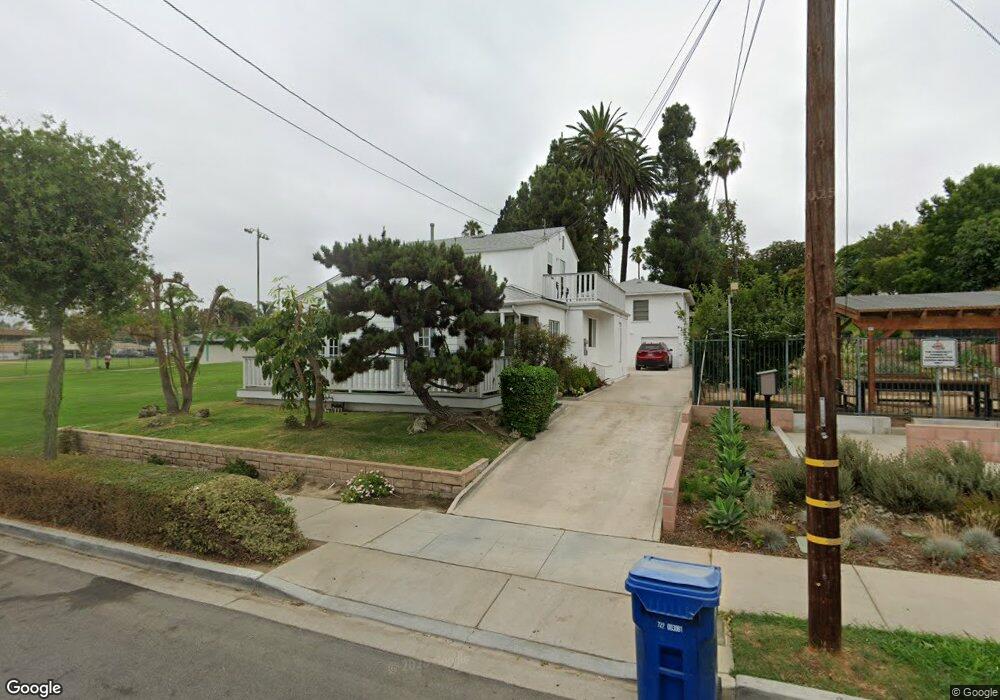
1911 E 21st St Signal Hill, CA 90755
Estimated Value: $927,000 - $1,442,193
5
Beds
3
Baths
2,817
Sq Ft
$390/Sq Ft
Est. Value
About This Home
This home is located at 1911 E 21st St, Signal Hill, CA 90755 and is currently estimated at $1,097,298, approximately $389 per square foot. 1911 E 21st St is a home located in Los Angeles County with nearby schools including Alvarado Elementary, Nelson Academy, and Long Beach Polytechnic High School.
Ownership History
Date
Name
Owned For
Owner Type
Purchase Details
Closed on
Sep 10, 2012
Sold by
Canfield Chad L
Bought by
Canfield Chad L and Canfield Anne C
Current Estimated Value
Home Financials for this Owner
Home Financials are based on the most recent Mortgage that was taken out on this home.
Original Mortgage
$328,875
Outstanding Balance
$226,815
Interest Rate
3.5%
Mortgage Type
New Conventional
Estimated Equity
$870,483
Purchase Details
Closed on
Feb 20, 2004
Sold by
Hatten Naomi June and The Robert Emmett & Naomi June
Bought by
Canfield Chad L
Home Financials for this Owner
Home Financials are based on the most recent Mortgage that was taken out on this home.
Original Mortgage
$288,000
Interest Rate
5.12%
Mortgage Type
Purchase Money Mortgage
Purchase Details
Closed on
May 24, 1995
Sold by
Hatten Robert E and Hatten Naomi June
Bought by
Hatten Robert Emmett and Hatten Naomi June
Create a Home Valuation Report for This Property
The Home Valuation Report is an in-depth analysis detailing your home's value as well as a comparison with similar homes in the area
Home Values in the Area
Average Home Value in this Area
Purchase History
| Date | Buyer | Sale Price | Title Company |
|---|---|---|---|
| Canfield Chad L | -- | None Available | |
| Canfield Chad L | $360,000 | Commonwealth Land Title Co | |
| Hatten Robert Emmett | -- | -- |
Source: Public Records
Mortgage History
| Date | Status | Borrower | Loan Amount |
|---|---|---|---|
| Open | Canfield Chad L | $328,875 | |
| Previous Owner | Canfield Chad L | $288,000 | |
| Closed | Canfield Chad L | $36,000 |
Source: Public Records
Tax History Compared to Growth
Tax History
| Year | Tax Paid | Tax Assessment Tax Assessment Total Assessment is a certain percentage of the fair market value that is determined by local assessors to be the total taxable value of land and additions on the property. | Land | Improvement |
|---|---|---|---|---|
| 2025 | $7,167 | $511,826 | $284,348 | $227,478 |
| 2024 | $7,167 | $501,791 | $278,773 | $223,018 |
| 2023 | $7,052 | $491,953 | $273,307 | $218,646 |
| 2022 | $6,645 | $482,308 | $267,949 | $214,359 |
| 2021 | $6,508 | $472,852 | $262,696 | $210,156 |
| 2020 | $6,488 | $468,005 | $260,003 | $208,002 |
| 2019 | $6,419 | $458,829 | $254,905 | $203,924 |
| 2018 | $6,170 | $449,833 | $249,907 | $199,926 |
| 2016 | $5,687 | $432,366 | $240,203 | $192,163 |
| 2015 | $5,479 | $425,872 | $236,595 | $189,277 |
| 2014 | $5,452 | $417,531 | $231,961 | $185,570 |
Source: Public Records
Map
Nearby Homes
- 2231 Saint Louis Ave Unit 101B
- 2240 N Legion Dr Unit 217
- 1965 Saint Louis Ave
- 2298 Rose Ave Unit 110
- 2238 Walnut Ave
- 2240 Walnut Ave
- 1887 Saint Louis Ave
- 1850 Gardenia Ave
- 1845 Dawson Ave
- 1988 Junipero Ave
- 1211 E Leigh Ct
- 2205 Starlight Ln
- 2420 Gaviota Ave
- 2430 Gaviota Ave
- 1994 Stanley Ave
- 2240 Stanley Ave Unit 5
- 2215 Molino Ave Unit C
- 2051 Orange Ave
- 2199 Ohio Ave
- 2150 Ohio Ave Unit E
- 1917 E 21st St
- 1905 E 21st St
- 1919 E 21st St
- 1925 E 21st St
- 1929 E 21st St
- 2001 E 21st St
- 2001 E 21st St Unit 122
- 2001 E 21st St Unit 121
- 2001 E 21st St Unit 120
- 2001 E 21st St Unit 320
- 2001 E 21st St Unit 236
- 2001 E 21st St Unit 235
- 2001 E 21st St Unit 234
- 2001 E 21st St Unit 233
- 2001 E 21st St Unit 232
- 2001 E 21st St Unit 231
- 2001 E 21st St Unit 230
- 2001 E 21st St Unit 229
- 2001 E 21st St Unit 228
- 2001 E 21st St Unit 227