1911 Eamons Way Annapolis, MD 21401
Parole NeighborhoodEstimated Value: $772,830 - $899,000
Studio
3
Baths
3,120
Sq Ft
$269/Sq Ft
Est. Value
About This Home
This home is located at 1911 Eamons Way, Annapolis, MD 21401 and is currently estimated at $838,708, approximately $268 per square foot. 1911 Eamons Way is a home located in Anne Arundel County with nearby schools including Rolling Knolls Elementary School, Wiley H. Bates Middle School, and Annapolis High School.
Ownership History
Date
Name
Owned For
Owner Type
Purchase Details
Closed on
Dec 28, 2009
Sold by
K Hovnanian Homes Of Md Llc
Bought by
Ford Deborah A
Current Estimated Value
Home Financials for this Owner
Home Financials are based on the most recent Mortgage that was taken out on this home.
Original Mortgage
$514,350
Outstanding Balance
$335,983
Interest Rate
4.85%
Mortgage Type
VA
Estimated Equity
$502,725
Purchase Details
Closed on
Sep 28, 2006
Sold by
Bestgate Village Llc
Bought by
K Hovnanian Homes Of Md Llc
Purchase Details
Closed on
Aug 30, 2006
Sold by
Bestgate Village Llc
Bought by
K Hovnanian Homes Of Md Llc
Create a Home Valuation Report for This Property
The Home Valuation Report is an in-depth analysis detailing your home's value as well as a comparison with similar homes in the area
Home Values in the Area
Average Home Value in this Area
Purchase History
| Date | Buyer | Sale Price | Title Company |
|---|---|---|---|
| Ford Deborah A | $564,517 | -- | |
| K Hovnanian Homes Of Md Llc | $1,249,758 | -- | |
| K Hovnanian Homes Of Md Llc | $1,249,758 | -- |
Source: Public Records
Mortgage History
| Date | Status | Borrower | Loan Amount |
|---|---|---|---|
| Open | Ford Deborah A | $514,350 |
Source: Public Records
Tax History
| Year | Tax Paid | Tax Assessment Tax Assessment Total Assessment is a certain percentage of the fair market value that is determined by local assessors to be the total taxable value of land and additions on the property. | Land | Improvement |
|---|---|---|---|---|
| 2025 | $6,957 | $621,700 | $165,700 | $456,000 |
| 2024 | $6,957 | $589,500 | $0 | $0 |
| 2023 | $6,559 | $557,300 | $0 | $0 |
| 2022 | $5,918 | $525,100 | $165,700 | $359,400 |
| 2020 | $5,880 | $525,100 | $165,700 | $359,400 |
| 2019 | $6,804 | $612,900 | $215,700 | $397,200 |
| 2018 | $5,895 | $581,367 | $0 | $0 |
| 2017 | $5,986 | $549,833 | $0 | $0 |
| 2016 | -- | $518,300 | $0 | $0 |
| 2015 | -- | $505,200 | $0 | $0 |
| 2014 | -- | $492,100 | $0 | $0 |
Source: Public Records
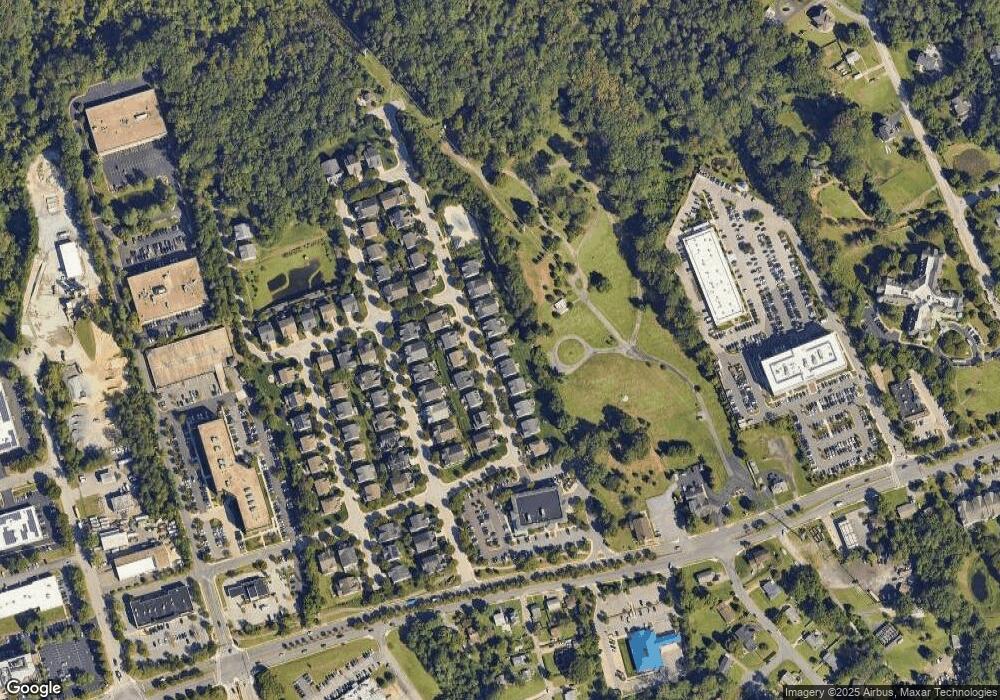
Map
Nearby Homes
- 1930 Severn Grove Rd
- 34 Harbour Heights Dr
- 12 Harbour Heights Dr
- 629 Admiral Dr Unit U206
- 623 Admiral Dr Unit 304
- 615 Admiral Dr
- 25 Lincoln Pkwy
- 2019 Valley Rd
- 553 Choptank Cove Ct
- 2150 Hideaway Ct Unit 28
- 2002 Phillips Terrace Unit 6
- 2013 Warners Terrace S Unit 138
- 2013 Warners Terrace S Unit 242
- 2321 Hickory Rd
- 668 N Bestgate Rd
- 2058 Quaker Way Unit 12
- 2052 Quaker Way Unit 7
- 603 Burtons Cove Way Unit 3
- 1868 Lynnfield Dr
- 2015 Gov Thomas Bladen Way Unit 204
- 1909 Eamons Way
- 1909 Eamons Way Unit 58
- 1913 Eamons Way
- 1907 Eamons Way
- 1915 Eamons Way
- 1910 Eamons Way
- 1910 Eamons Way Unit 67
- 1908 Eamons Way
- 1912 Eamons Way Unit 68
- 1912 Eamons Way
- 1905 Eamons Way
- 1917 Eamons Way
- 1906 Eamons Way
- 1914 Eamons Way
- 1904 Eamons Way
- 1904 Eamons Way Unit 64
- 1903 Eamons Way
- 1919 Eamons Way
- 2015 Monticello Dr
- 2013 Monticello Dr
Your Personal Tour Guide
Ask me questions while you tour the home.