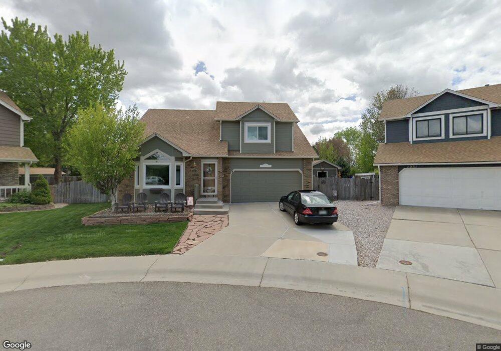
1911 Markham Ct Loveland, CO 80538
Estimated Value: $519,000 - $574,000
4
Beds
4
Baths
1,760
Sq Ft
$307/Sq Ft
Est. Value
About This Home
This home is located at 1911 Markham Ct, Loveland, CO 80538 and is currently estimated at $540,000, approximately $306 per square foot. 1911 Markham Ct is a home located in Larimer County with nearby schools including Monroe Elementary School, Peakview Academy at Conrad Ball, and Mountain View High School.
Ownership History
Date
Name
Owned For
Owner Type
Purchase Details
Closed on
Jun 26, 2000
Sold by
Ridler Randall L Pamela F
Bought by
Hlushak Thomas R and Hlushak Chris M
Current Estimated Value
Home Financials for this Owner
Home Financials are based on the most recent Mortgage that was taken out on this home.
Original Mortgage
$175,750
Outstanding Balance
$64,802
Interest Rate
8.66%
Estimated Equity
$475,198
Purchase Details
Closed on
Jun 1, 1992
Sold by
Harris Judy C
Bought by
Ridler Randall L
Create a Home Valuation Report for This Property
The Home Valuation Report is an in-depth analysis detailing your home's value as well as a comparison with similar homes in the area
Home Values in the Area
Average Home Value in this Area
Purchase History
| Date | Buyer | Sale Price | Title Company |
|---|---|---|---|
| Hlushak Thomas R | $185,000 | Land Title | |
| Ridler Randall L | $105,000 | -- |
Source: Public Records
Mortgage History
| Date | Status | Borrower | Loan Amount |
|---|---|---|---|
| Open | Hlushak Thomas R | $175,750 |
Source: Public Records
Tax History Compared to Growth
Tax History
| Year | Tax Paid | Tax Assessment Tax Assessment Total Assessment is a certain percentage of the fair market value that is determined by local assessors to be the total taxable value of land and additions on the property. | Land | Improvement |
|---|---|---|---|---|
| 2025 | $1,994 | $35,369 | $1,755 | $33,614 |
| 2024 | $2,439 | $35,369 | $1,755 | $33,614 |
| 2022 | $2,187 | $27,480 | $1,821 | $25,659 |
| 2021 | $2,247 | $28,271 | $1,873 | $26,398 |
| 2020 | $2,167 | $27,256 | $1,873 | $25,383 |
| 2019 | $2,131 | $27,256 | $1,873 | $25,383 |
| 2018 | $1,769 | $21,492 | $1,886 | $19,606 |
| 2017 | $1,523 | $21,492 | $1,886 | $19,606 |
| 2016 | $1,485 | $20,243 | $2,086 | $18,157 |
| 2015 | $1,472 | $20,250 | $2,090 | $18,160 |
| 2014 | $1,287 | $17,120 | $2,090 | $15,030 |
Source: Public Records
Map
Nearby Homes
- 1949 Hyde Dr
- 1908 E 18th St Unit 1908
- 1649 E 17th St
- 1615 E 16th St
- 1607 E 16th St
- 1930 Bobtail Ct
- 2718 Park Ct
- 2216 Albany Ct
- 1840 Albany Ave
- 1234 Limestone Ave Unit 97
- 1850 Sandstone Ct Unit 84
- 1700 Pearl Dr Unit 106
- 1641 Garnet St Unit 49
- 1726 Garnet St Unit 126
- 1493 Park Dr
- 2265 Albany Ct
- 1327 Silver Leaf Dr
- 1500 Sylmar Place Unit 701
- 1375 Sunset Place Unit 10
- 1396 Sunset Place Unit 16
- 1931 Markham Ct
- 1898 Abbey Ct
- 1918 Markham Ct
- 1891 Abbey Ct
- 1880 Abbey Ct
- 1932 Canterbury Ct
- 1920 Canterbury Ct
- 1939 Thames Dr
- 1932 Markham Ct
- 1927 Thames Dr
- 1879 Abbey Ct
- 1944 Markham Ct
- 1944 Canterbury Ct
- 1955 Markham Ct
- 1858 Abbey Ct
- 1941 Thames Dr
- 2146 Wimbleton Dr
- 1907 Canterbury Ct
- 1857 Abbey Ct
- 1956 Canterbury Ct