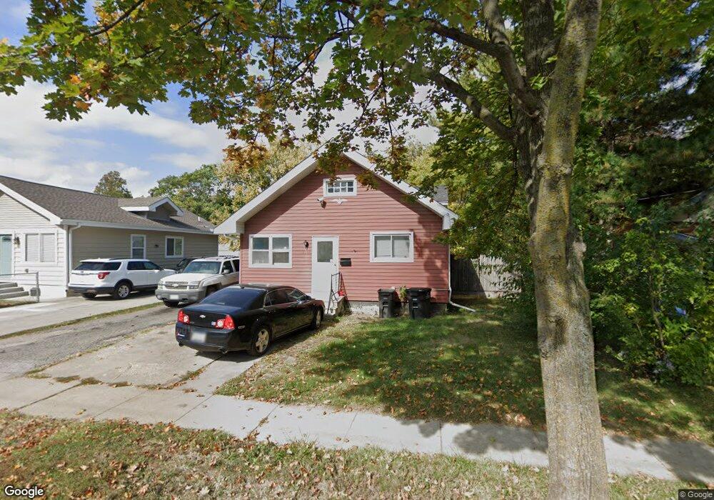
1911 Mondamin Ave Des Moines, IA 50314
Mondamin Presidential NeighborhoodEstimated Value: $84,000 - $120,000
2
Beds
1
Bath
884
Sq Ft
$119/Sq Ft
Est. Value
About This Home
This home is located at 1911 Mondamin Ave, Des Moines, IA 50314 and is currently estimated at $105,623, approximately $119 per square foot. 1911 Mondamin Ave is a home located in Polk County with nearby schools including King Elementary School, Meredith Middle School, and Hoover High School.
Ownership History
Date
Name
Owned For
Owner Type
Purchase Details
Closed on
Jul 14, 2006
Sold by
Tham Michael E and Tham Darline L
Bought by
Sw Enterprises Inc
Current Estimated Value
Home Financials for this Owner
Home Financials are based on the most recent Mortgage that was taken out on this home.
Original Mortgage
$36,800
Outstanding Balance
$21,829
Interest Rate
6.73%
Mortgage Type
Purchase Money Mortgage
Estimated Equity
$83,795
Create a Home Valuation Report for This Property
The Home Valuation Report is an in-depth analysis detailing your home's value as well as a comparison with similar homes in the area
Home Values in the Area
Average Home Value in this Area
Purchase History
| Date | Buyer | Sale Price | Title Company |
|---|---|---|---|
| Sw Enterprises Inc | $41,500 | None Available |
Source: Public Records
Mortgage History
| Date | Status | Borrower | Loan Amount |
|---|---|---|---|
| Open | Sw Enterprises Inc | $36,800 |
Source: Public Records
Tax History Compared to Growth
Tax History
| Year | Tax Paid | Tax Assessment Tax Assessment Total Assessment is a certain percentage of the fair market value that is determined by local assessors to be the total taxable value of land and additions on the property. | Land | Improvement |
|---|---|---|---|---|
| 2025 | $1,442 | $85,700 | $13,800 | $71,900 |
| 2024 | $1,442 | $73,300 | $11,800 | $61,500 |
| 2023 | $1,282 | $73,300 | $11,800 | $61,500 |
| 2022 | $1,272 | $54,400 | $9,000 | $45,400 |
| 2021 | $1,198 | $54,400 | $9,000 | $45,400 |
| 2020 | $1,244 | $48,000 | $8,000 | $40,000 |
| 2019 | $1,172 | $48,000 | $8,000 | $40,000 |
| 2018 | $1,160 | $43,600 | $7,100 | $36,500 |
| 2017 | $1,182 | $43,600 | $7,100 | $36,500 |
| 2016 | $1,152 | $43,700 | $7,100 | $36,600 |
| 2015 | $1,152 | $43,700 | $7,100 | $36,600 |
| 2014 | $1,132 | $44,200 | $7,900 | $36,300 |
Source: Public Records
Map
Nearby Homes
- 1622 Martin Luther King Junior Pkwy
- 1656 Martin Luther King Junior Pkwy
- 1716 Mondamin Ave
- 2103 Washington Ave
- 1534 18th St
- 1946 Franklin Ave
- 1608 Mondamin Ave
- 1605 22nd St
- 1434 Martin Luther King Junior Pkwy
- 1559 23rd St
- 1429 Martin Luther King jr Pkwy
- 1915 22nd St
- 1457 17th St
- 1513 Washington Ave
- 1603 Clark St
- 1902 Francis Ave
- 1334 Washington Ave
- 2014 23rd St
- 1514 Harrison Ave
- 1925 Francis Ave
- 1917 Mondamin Ave
- 1909 Mondamin Ave
- 1903 Mondamin Ave
- 1914 Washington Ave
- 1910 Washington Ave
- 1916 Washington Ave
- 1918 Washington Ave
- 1902 Washington Ave
- 1645 Mlk jr Pkwy
- 1645 Martin Luther King Junior Pkwy
- 1836 Mondamin Ave
- 1834 Mondamin Ave
- 1619 Mlk jr Pkwy
- 1831 Mondamin Ave
- 1619 Martin Luther King Junior Pkwy
- 1920 Washington Ave
- 1824 Washington Ave
- 1832 Mondamin Ave
- 1615 Mlk jr Pkwy
- 1626 Martin Luther King jr Pkwy