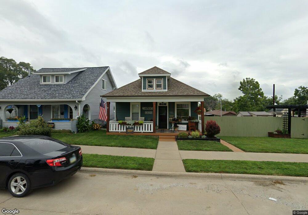
1911 Palean St Keokuk, IA 52632
Estimated Value: $61,000 - $80,000
2
Beds
1
Bath
816
Sq Ft
$85/Sq Ft
Est. Value
About This Home
This home is located at 1911 Palean St, Keokuk, IA 52632 and is currently estimated at $69,000, approximately $84 per square foot. 1911 Palean St is a home located in Lee County with nearby schools including George Washington Elementary School, Hawthorne Elementary School, and Keokuk Middle School.
Ownership History
Date
Name
Owned For
Owner Type
Purchase Details
Closed on
May 14, 2012
Sold by
Inte Kinkeade Thelma
Bought by
Neff Therese K and Neff Melissa L
Current Estimated Value
Home Financials for this Owner
Home Financials are based on the most recent Mortgage that was taken out on this home.
Original Mortgage
$260,004
Outstanding Balance
$170,139
Interest Rate
2.75%
Mortgage Type
Adjustable Rate Mortgage/ARM
Estimated Equity
-$101,139
Purchase Details
Closed on
Jun 29, 2010
Sold by
Kinkeade Thelma and Kinkeade Ronald C
Bought by
Kinkeade Thelma and Thelma Kinkeade Revocable Trust
Create a Home Valuation Report for This Property
The Home Valuation Report is an in-depth analysis detailing your home's value as well as a comparison with similar homes in the area
Home Values in the Area
Average Home Value in this Area
Purchase History
| Date | Buyer | Sale Price | Title Company |
|---|---|---|---|
| Neff Therese K | $32,500 | None Available | |
| Kinkeade Thelma | -- | -- |
Source: Public Records
Mortgage History
| Date | Status | Borrower | Loan Amount |
|---|---|---|---|
| Open | Neff Therese K | $260,004 |
Source: Public Records
Tax History Compared to Growth
Tax History
| Year | Tax Paid | Tax Assessment Tax Assessment Total Assessment is a certain percentage of the fair market value that is determined by local assessors to be the total taxable value of land and additions on the property. | Land | Improvement |
|---|---|---|---|---|
| 2024 | $1,432 | $65,970 | $4,800 | $61,170 |
| 2023 | $1,356 | $65,970 | $4,800 | $61,170 |
| 2022 | $988 | $50,320 | $4,800 | $45,520 |
| 2021 | $988 | $50,320 | $4,800 | $45,520 |
| 2020 | $932 | $47,760 | $5,090 | $42,670 |
| 2019 | $974 | $47,760 | $5,090 | $42,670 |
| 2018 | $934 | $45,050 | $0 | $0 |
| 2017 | $934 | $44,330 | $0 | $0 |
| 2016 | $898 | $44,330 | $0 | $0 |
| 2015 | $898 | $44,330 | $0 | $0 |
| 2014 | -- | $44,330 | $0 | $0 |
Source: Public Records
Map
Nearby Homes
- 2017 Palean St
- 1613 Des Moines St
- 1606 Des Moines St
- 1922 Exchange St
- 1527 Carroll St
- 1821 Johnson St
- 16 S 19th St
- 1721 Johnson St
- 1417 Ridge St
- 1329 Des Moines St
- 1829 Main St
- 2305 Mckinley Ave
- 1409 Johnson St
- 11 Sun Crest Terrace
- 1023 Palean St
- 1616 High St
- 210 S 10th St
- 918 Carroll St
- 913 Timea St
- 2nd Main St
- 1915 Palean St
- 1905 Palean St
- 1903 Palean St
- 1923 Palean St
- 1927 Palean St
- 1908 Des Moines St
- 1906 Des Moines St
- 1912 Palean St
- 1922 Des Moines St
- 506 S 19th St
- 521 S 19th St
- 1906 Palean St
- 519 S 19th St
- 1918 Palean St
- 1902 Palean St
- 1928 Des Moines St
- 1926 Palean St
- 1821 Palean St
- 1828 Des Moines St
- 1826 Palean St