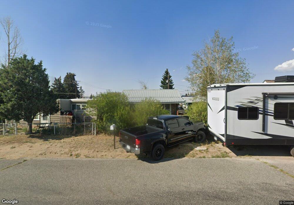
1911 Sampson St Butte, MT 59701
Bellevue NeighborhoodEstimated Value: $177,000 - $201,000
2
Beds
1
Bath
580
Sq Ft
$330/Sq Ft
Est. Value
About This Home
This home is located at 1911 Sampson St, Butte, MT 59701 and is currently estimated at $191,489, approximately $330 per square foot. 1911 Sampson St is a home located in Silver Bow County with nearby schools including Margaret Leary School, East Middle School, and Butte High School.
Ownership History
Date
Name
Owned For
Owner Type
Purchase Details
Closed on
Mar 22, 2011
Sold by
Craig Justin G and Craig Carol L
Bought by
Craig Travis and Craig Carol L
Current Estimated Value
Purchase Details
Closed on
Feb 11, 2011
Sold by
Wells Fargo Financial Nontana
Bought by
Craig Justin G and Craig Carol L
Purchase Details
Closed on
Dec 13, 2010
Sold by
First American Title Company
Bought by
Wells Fargo Financial Montana Inc
Create a Home Valuation Report for This Property
The Home Valuation Report is an in-depth analysis detailing your home's value as well as a comparison with similar homes in the area
Home Values in the Area
Average Home Value in this Area
Purchase History
| Date | Buyer | Sale Price | Title Company |
|---|---|---|---|
| Craig Travis | -- | -- | |
| Craig Justin G | -- | -- | |
| Wells Fargo Financial Montana Inc | $11,950 | -- |
Source: Public Records
Tax History
| Year | Tax Paid | Tax Assessment Tax Assessment Total Assessment is a certain percentage of the fair market value that is determined by local assessors to be the total taxable value of land and additions on the property. | Land | Improvement |
|---|---|---|---|---|
| 2025 | $1,638 | $181,800 | $0 | $0 |
| 2024 | $1,792 | $141,000 | $0 | $0 |
| 2023 | $1,784 | $141,000 | $0 | $0 |
| 2022 | $1,494 | $84,200 | $0 | $0 |
| 2021 | $933 | $84,200 | $0 | $0 |
| 2020 | $1,392 | $69,500 | $0 | $0 |
| 2019 | $1,382 | $69,500 | $0 | $0 |
| 2018 | $1,230 | $58,800 | $0 | $0 |
| 2017 | $596 | $58,800 | $0 | $0 |
| 2016 | $1,097 | $54,300 | $0 | $0 |
| 2015 | $573 | $54,300 | $0 | $0 |
| 2014 | $1,118 | $32,913 | $0 | $0 |
Source: Public Records
Map
Nearby Homes
- 3001 Busch St
- 1636 Schley Ave
- 3101 Paxson Ave
- 1610 Gilman Ave
- Tbd Harrison Ave
- 1401 Sampson St
- 3141 Wynne Ave Unit C5
- 1353 Dewey Blvd
- 3320 Paxson Ave
- 3313 Monroe Ave
- 1806 C St
- 1112 Dewey Blvd
- 1211 Dewey Blvd
- 2223 Princeton St
- 2420 Harvard Ave
- 2410 Yale Ave
- 1830 Holmes Ave
- 1408 C St
- 1727 A St
- 2124 Roberts Ave
- 1917 Sampson St
- 1925 Sampson St
- 1914 Dewey Blvd
- 1916 Dewey Blvd
- 1918 Dewey Blvd
- 1910 Sampson St
- 1900 Sampson St
- 1920 Sampson St
- 1935 Sampson St
- 1920 Dewey Blvd
- 2903 Sanders St
- 1939 Sampson St
- 1864 Dewey Blvd
- 1861 Sampson St
- 1820 Sampson St
- 1930 Dewey Blvd
- 1941 Sampson St
- 1858 Dewey Blvd
- 1936 Dewey Blvd
- 1845 Sampson St
Your Personal Tour Guide
Ask me questions while you tour the home.