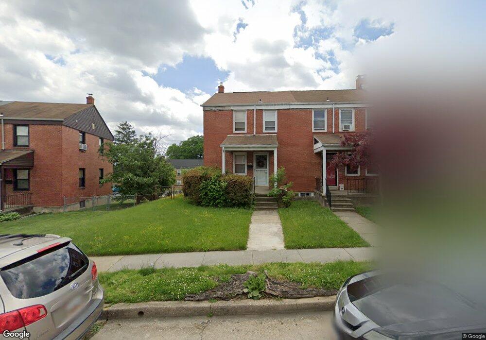
1911 Wadsworth Way Baltimore, MD 21239
Loch Raven NeighborhoodEstimated Value: $180,097 - $204,000
Studio
1
Bath
1,064
Sq Ft
$180/Sq Ft
Est. Value
About This Home
This home is located at 1911 Wadsworth Way, Baltimore, MD 21239 and is currently estimated at $192,049, approximately $180 per square foot. 1911 Wadsworth Way is a home located in Baltimore City with nearby schools including Yorkwood Elementary School, Booker T. Washington Middle School, and Paul Laurence Dunbar High School.
Ownership History
Date
Name
Owned For
Owner Type
Purchase Details
Closed on
Jun 14, 2004
Sold by
William Carter Hutchinson
Bought by
Simmons Angela J
Current Estimated Value
Purchase Details
Closed on
Nov 3, 2003
Sold by
Empire Mortgage Xi Inc
Bought by
William Carter Hutchinson and Llc
Purchase Details
Closed on
Mar 13, 1992
Sold by
Horne Beverly
Bought by
Empire Mortgage Xi, Inc.
Create a Home Valuation Report for This Property
The Home Valuation Report is an in-depth analysis detailing your home's value as well as a comparison with similar homes in the area
Home Values in the Area
Average Home Value in this Area
Purchase History
| Date | Buyer | Sale Price | Title Company |
|---|---|---|---|
| Simmons Angela J | $96,900 | -- | |
| William Carter Hutchinson | $53,000 | -- | |
| Empire Mortgage Xi, Inc. | $66,000 | -- |
Source: Public Records
Tax History
| Year | Tax Paid | Tax Assessment Tax Assessment Total Assessment is a certain percentage of the fair market value that is determined by local assessors to be the total taxable value of land and additions on the property. | Land | Improvement |
|---|---|---|---|---|
| 2025 | $2,668 | $133,700 | -- | -- |
| 2024 | $2,668 | $123,200 | $36,000 | $87,200 |
| 2023 | $2,661 | $123,200 | $36,000 | $87,200 |
| 2022 | $2,666 | $123,200 | $36,000 | $87,200 |
| 2021 | $2,924 | $123,900 | $36,000 | $87,900 |
| 2020 | $2,446 | $117,733 | $0 | $0 |
| 2019 | $2,328 | $111,567 | $0 | $0 |
| 2018 | $2,314 | $105,400 | $36,000 | $69,400 |
| 2017 | $2,314 | $104,467 | $0 | $0 |
| 2016 | $2,082 | $103,533 | $0 | $0 |
| 2015 | $2,082 | $102,600 | $0 | $0 |
| 2014 | $2,082 | $102,600 | $0 | $0 |
Source: Public Records
Map
Nearby Homes
- 1903 Ramblewood Rd
- 2014 Crestview Rd
- 1808 Swansea Rd
- 1645 Sherwood Ave
- 5413 Hillen Rd
- 1600 Walterswood Rd
- 5619 Pioneer Dr
- 5625 Pioneer Dr
- 5613 Plymouth Rd
- 1542 E Belvedere Ave
- 1524 Ramblewood Rd
- 1526 Wadsworth Way
- 6210 Pilgrim Rd
- 1506 Gleneagle Rd
- 1814 Winford Rd
- 4929 Herring Run Dr
- 5913 Wakehurst Way
- 2018 Winford Rd
- 2107 Echodale Ave
- 5102 Plymouth Rd
- 1909 Wadsworth Way
- 1913 Wadsworth Way
- 1907 Wadsworth Way
- 1915 Wadsworth Way
- 1905 Wadsworth Way
- 1917 Wadsworth Way
- 1903 Wadsworth Way
- 1919 Wadsworth Way
- 1901 Wadsworth Way
- 1921 Wadsworth Way
- 1923 Wadsworth Way
- 1823 Wadsworth Way
- 1908 Wadsworth Way
- 1906 Wadsworth Way
- 1910 Wadsworth Way
- 1904 Wadsworth Way
- 1902 Wadsworth Way
- 1900 Wadsworth Way
- 1821 Wadsworth Way
- 1925 Wadsworth Way
Your Personal Tour Guide
Ask me questions while you tour the home.