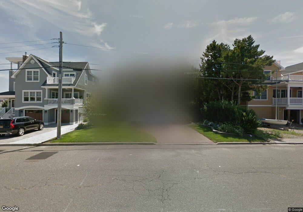
1911 West Ave Beach Haven, NJ 08008
Long Beach Island NeighborhoodEstimated Value: $2,467,000 - $3,648,000
4
Beds
4
Baths
4,252
Sq Ft
$708/Sq Ft
Est. Value
About This Home
This home is located at 1911 West Ave, Beach Haven, NJ 08008 and is currently estimated at $3,011,803, approximately $708 per square foot. 1911 West Ave is a home located in Ocean County with nearby schools including Beach Haven School, Southern Regional Middle School, and Southern Regional High School.
Ownership History
Date
Name
Owned For
Owner Type
Purchase Details
Closed on
Dec 17, 1987
Bought by
Panzone F A and J A
Current Estimated Value
Create a Home Valuation Report for This Property
The Home Valuation Report is an in-depth analysis detailing your home's value as well as a comparison with similar homes in the area
Home Values in the Area
Average Home Value in this Area
Purchase History
| Date | Buyer | Sale Price | Title Company |
|---|---|---|---|
| Panzone F A | $216,000 | -- |
Source: Public Records
Tax History Compared to Growth
Tax History
| Year | Tax Paid | Tax Assessment Tax Assessment Total Assessment is a certain percentage of the fair market value that is determined by local assessors to be the total taxable value of land and additions on the property. | Land | Improvement |
|---|---|---|---|---|
| 2025 | $14,596 | $1,112,500 | $585,000 | $527,500 |
| 2024 | $13,472 | $1,112,500 | $585,000 | $527,500 |
| 2023 | $12,516 | $1,112,500 | $585,000 | $527,500 |
| 2022 | $12,516 | $1,112,500 | $585,000 | $527,500 |
| 2021 | $12,105 | $1,103,500 | $585,000 | $518,500 |
| 2020 | $12,370 | $1,103,500 | $585,000 | $518,500 |
| 2019 | $12,017 | $1,103,500 | $585,000 | $518,500 |
| 2018 | $12,436 | $1,103,500 | $585,000 | $518,500 |
| 2017 | $11,874 | $1,103,500 | $585,000 | $518,500 |
| 2016 | $13,226 | $997,400 | $483,000 | $514,400 |
| 2015 | $12,657 | $997,400 | $483,000 | $514,400 |
| 2014 | $11,969 | $997,400 | $483,000 | $514,400 |
Source: Public Records
Map
Nearby Homes
- 316 Liberty Ave
- 1610 S Bay Ave Unit 3
- 211 Stratford Ave
- 229 Merivale Ave Unit A 1ST FLOOR
- 229 Merivale Ave Unit B - 2ND FLOOR
- 1805 S Beach Ave
- 10 A W Marshall Ave
- 10-B W Marshall Ave
- 329 Essex Ave
- 2904 S Long Beach Blvd
- 21 W Webster Ave
- 210 Ocean St
- 310 W West Ave Unit 2E
- 132 Coral St
- 83 W Tebco Terrace Unit E
- 83 W Tebco Terrace U-E
- 18 W Tebco Terrace
- 531 Engleside Ave Unit 5
- 531 Engleside Ave
- 315 Centre St Unit 5
- 1901 West Ave
- 337 Jefferis Ave
- 334 Stratford Ave
- 339 Jefferis Ave
- 335 Jefferis Ave
- 330 Stratford Ave
- 331 Jeffries Ave Unit 1
- 331 Jefferis Ave
- 331 Jefferis Ave Unit U
- 326 Stratford Ave
- 1815 West Ave Unit B
- 1815 West Ave Unit A
- 325 Jefferis Ave
- 2001 West Ave
- 322 Stratford Ave
- 335 Stratford Ave
- 321 Jefferis Ave
- 401 Jefferis Ave
- 331 Stratford Ave
- 1900 West Ave