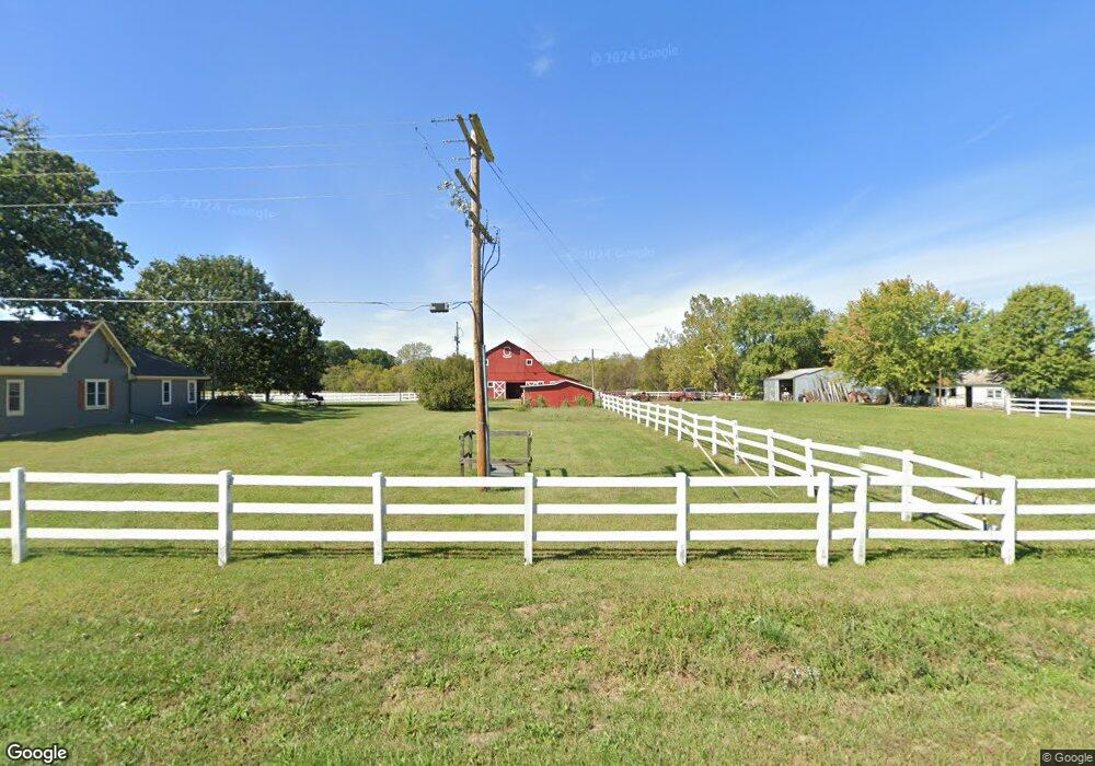
19114 S State Route Y Belton, MO 64012
Estimated Value: $281,000 - $913,000
3
Beds
1
Bath
2,321
Sq Ft
$199/Sq Ft
Est. Value
About This Home
This home is located at 19114 S State Route Y, Belton, MO 64012 and is currently estimated at $460,825, approximately $198 per square foot. 19114 S State Route Y is a home located in Cass County with nearby schools including Cambridge Elementary School, Belton Middle School, and Mill Creek Upper Elementary School.
Ownership History
Date
Name
Owned For
Owner Type
Purchase Details
Closed on
Jan 11, 2013
Sold by
Dulaney Construction Co
Bought by
Good John Walsh and Good Elizabeth Christell
Current Estimated Value
Home Financials for this Owner
Home Financials are based on the most recent Mortgage that was taken out on this home.
Original Mortgage
$85,000
Outstanding Balance
$59,045
Interest Rate
3.35%
Mortgage Type
New Conventional
Estimated Equity
$401,780
Purchase Details
Closed on
May 26, 2005
Sold by
Ruble William E
Bought by
Ruble William E and Egea Marcela
Home Financials for this Owner
Home Financials are based on the most recent Mortgage that was taken out on this home.
Original Mortgage
$153,000
Interest Rate
8.25%
Mortgage Type
Adjustable Rate Mortgage/ARM
Create a Home Valuation Report for This Property
The Home Valuation Report is an in-depth analysis detailing your home's value as well as a comparison with similar homes in the area
Home Values in the Area
Average Home Value in this Area
Purchase History
| Date | Buyer | Sale Price | Title Company |
|---|---|---|---|
| Good John Walsh | -- | Coffelt Land Title Inc | |
| Ruble William E | -- | -- |
Source: Public Records
Mortgage History
| Date | Status | Borrower | Loan Amount |
|---|---|---|---|
| Open | Good John Walsh | $85,000 | |
| Previous Owner | Ruble William E | $153,000 |
Source: Public Records
Tax History Compared to Growth
Tax History
| Year | Tax Paid | Tax Assessment Tax Assessment Total Assessment is a certain percentage of the fair market value that is determined by local assessors to be the total taxable value of land and additions on the property. | Land | Improvement |
|---|---|---|---|---|
| 2024 | $1,597 | $24,760 | $3,520 | $21,240 |
| 2023 | $1,592 | $24,760 | $3,520 | $21,240 |
| 2022 | $1,415 | $21,690 | $3,520 | $18,170 |
| 2021 | $1,415 | $21,690 | $3,520 | $18,170 |
| 2020 | $1,354 | $20,670 | $3,520 | $17,150 |
| 2019 | $1,277 | $20,670 | $3,520 | $17,150 |
| 2018 | $1,222 | $18,810 | $2,880 | $15,930 |
| 2017 | $1,174 | $18,810 | $2,880 | $15,930 |
| 2016 | $1,174 | $18,020 | $2,880 | $15,140 |
| 2015 | $1,174 | $18,020 | $2,880 | $15,140 |
| 2014 | $1,166 | $17,820 | $2,870 | $14,950 |
| 2013 | -- | $17,820 | $2,870 | $14,950 |
Source: Public Records
Map
Nearby Homes
- LOT 4 Oak St
- LOT 3 Oak St
- LOT 2 Oak St
- LOT 1 Oak St
- 6500 Trott Rd
- 111 & 113 Spring Ct
- 18802 S Lakeside Ln
- 0 S Cleveland Ave
- 19618 S Mullen Rd
- 1113 Kent Dr
- 19608 S Pickering Rd
- 1201 Mesa Dr
- 914 Ridge Dr
- 510 Logan Ave
- 215 Park Ave
- 19904 S Pickering Rd
- 8205 E 189th Terrace
- 20408 S Cottonwood Dr
- 20509 Bogar Cir
- 702 Park Cir
- 19114 S State Route Y
- 19037 S Ash St
- 5700 E 191st St
- 19021 S Ash St
- 19009 S Ash St
- 19016 S Ash St
- 19014 S Ash St
- 19017 S Ash St
- 19105 S State Route Y
- 19012 S Ash St
- 19010 S Ash St
- 19203 S State Route Y
- 19015 S Ash St
- 19015 S State Route Y
- 19006 S Ash St
- 19005 S Oak St
- 19005 S Ash St
- 19002 S Ash St
- 19003 S Oak St
- 19001 S Ash St