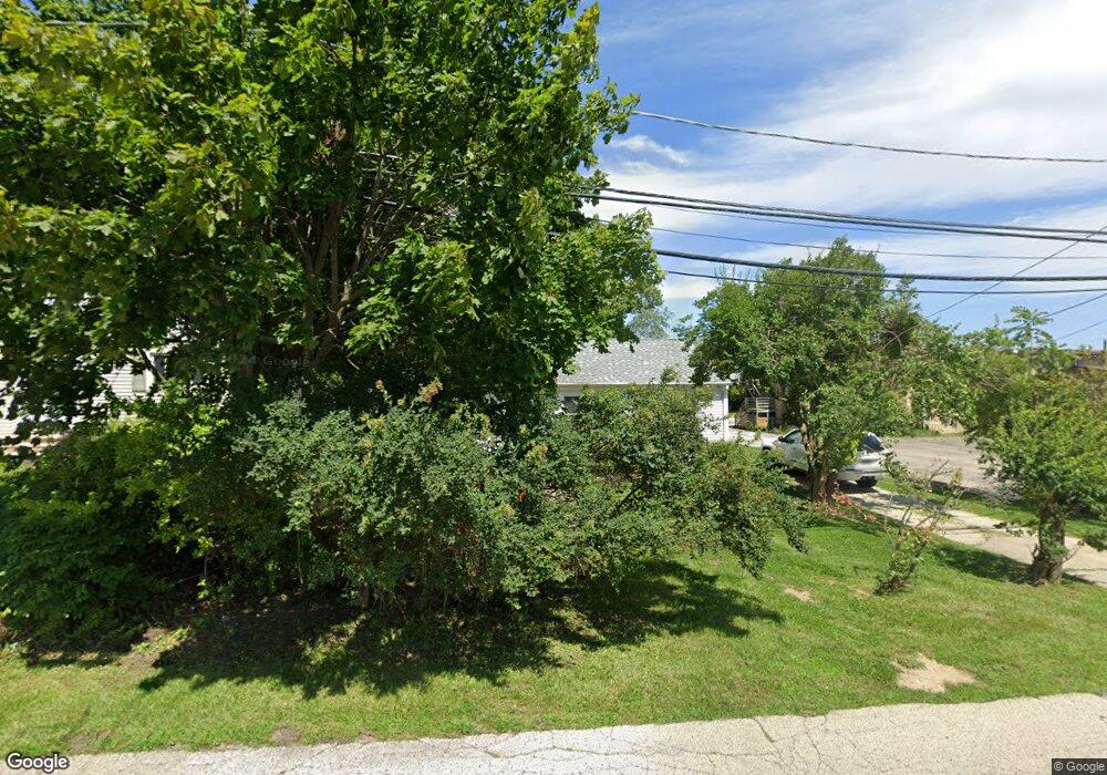
1912 11th St Winthrop Harbor, IL 60096
Shore Acres NeighborhoodEstimated Value: $164,000 - $360,000
3
Beds
1
Bath
884
Sq Ft
$245/Sq Ft
Est. Value
About This Home
This home is located at 1912 11th St, Winthrop Harbor, IL 60096 and is currently estimated at $216,834, approximately $245 per square foot. 1912 11th St is a home located in Lake County with nearby schools including Westfield School, North Prairie Junior High School, and Zion-Benton Township High School.
Ownership History
Date
Name
Owned For
Owner Type
Purchase Details
Closed on
Aug 23, 2021
Sold by
Wilken Richard Eugene
Bought by
Hawthorne Property Group Llc Hpg1
Current Estimated Value
Purchase Details
Closed on
Feb 27, 2019
Sold by
Chicago Title Land Trust Company
Bought by
Wilken Richard E
Home Financials for this Owner
Home Financials are based on the most recent Mortgage that was taken out on this home.
Original Mortgage
$30,000
Interest Rate
4.4%
Mortgage Type
Future Advance Clause Open End Mortgage
Create a Home Valuation Report for This Property
The Home Valuation Report is an in-depth analysis detailing your home's value as well as a comparison with similar homes in the area
Home Values in the Area
Average Home Value in this Area
Purchase History
| Date | Buyer | Sale Price | Title Company |
|---|---|---|---|
| Hawthorne Property Group Llc Hpg1 | -- | Precision Title Company | |
| Wilken Richard E | $40,000 | Attorneys Ttl Guaranty Fund |
Source: Public Records
Mortgage History
| Date | Status | Borrower | Loan Amount |
|---|---|---|---|
| Previous Owner | Wilken Richard E | $30,000 |
Source: Public Records
Tax History Compared to Growth
Tax History
| Year | Tax Paid | Tax Assessment Tax Assessment Total Assessment is a certain percentage of the fair market value that is determined by local assessors to be the total taxable value of land and additions on the property. | Land | Improvement |
|---|---|---|---|---|
| 2024 | $3,565 | $38,677 | $6,002 | $32,675 |
| 2023 | $1,721 | $33,256 | $5,794 | $27,462 |
| 2022 | $1,721 | $15,723 | $5,661 | $10,062 |
| 2021 | $1,609 | $13,970 | $5,517 | $8,453 |
| 2020 | $1,567 | $13,332 | $5,265 | $8,067 |
| 2019 | $2,994 | $24,672 | $4,995 | $19,677 |
| 2018 | $3,176 | $25,944 | $5,954 | $19,990 |
| 2017 | $3,162 | $24,406 | $5,601 | $18,805 |
| 2016 | $3,095 | $23,235 | $5,332 | $17,903 |
| 2015 | $3,070 | $21,309 | $4,890 | $16,419 |
| 2014 | $3,464 | $25,122 | $7,959 | $17,163 |
| 2012 | $3,368 | $26,106 | $8,271 | $17,835 |
Source: Public Records
Map
Nearby Homes
- 1120 Fulton Ave
- 1808 13th St
- 832 Fulton Ave
- 1206 Landon Ave
- 830 Russell Ave
- 2404 13th St
- 0 14th St Unit MRD12502206
- 1400 Sheridan Rd
- 1414 Sheridan Rd
- 737 Franklin Ave
- 1426 Sheridan Rd
- 1228 Pennsylvania Ave
- 630 Whitney Ave
- 1339 Park Ave
- 0 13th St Unit MRD12432014
- 3015 13th St
- 3109 11th St
- 1810 5th St
- 3106 13th St
- 0 Garnett Ave