1912 Autumn Crest Ln Unit 16 Kalamazoo, MI 49008
South Westnedge NeighborhoodEstimated Value: $446,550 - $505,000
3
Beds
3
Baths
2,925
Sq Ft
$165/Sq Ft
Est. Value
About This Home
This home is located at 1912 Autumn Crest Ln Unit 16, Kalamazoo, MI 49008 and is currently estimated at $483,638, approximately $165 per square foot. 1912 Autumn Crest Ln Unit 16 is a home located in Kalamazoo County with nearby schools including Woods Lake Elementary School, Milwood Magnet School, and Loy Norrix High School.
Ownership History
Date
Name
Owned For
Owner Type
Purchase Details
Closed on
Jun 7, 2024
Sold by
Robinson Clyde J and Robinson Carol A
Bought by
Clyde J And Carol A Robinson Trust
Current Estimated Value
Purchase Details
Closed on
Jun 30, 2009
Sold by
Muller Edward and Muller Marcella
Bought by
Robinson Clyde and Robinson Carol
Purchase Details
Closed on
Dec 17, 2003
Sold by
Map Group Llc
Bought by
Muller Edward and Muller Marcella G
Home Financials for this Owner
Home Financials are based on the most recent Mortgage that was taken out on this home.
Original Mortgage
$100,000
Interest Rate
5.91%
Mortgage Type
Purchase Money Mortgage
Create a Home Valuation Report for This Property
The Home Valuation Report is an in-depth analysis detailing your home's value as well as a comparison with similar homes in the area
Home Values in the Area
Average Home Value in this Area
Purchase History
| Date | Buyer | Sale Price | Title Company |
|---|---|---|---|
| Clyde J And Carol A Robinson Trust | -- | None Listed On Document | |
| Robinson Clyde | $313,500 | Ppr Title | |
| Muller Edward | $305,406 | Metro |
Source: Public Records
Mortgage History
| Date | Status | Borrower | Loan Amount |
|---|---|---|---|
| Previous Owner | Muller Edward | $100,000 |
Source: Public Records
Tax History Compared to Growth
Tax History
| Year | Tax Paid | Tax Assessment Tax Assessment Total Assessment is a certain percentage of the fair market value that is determined by local assessors to be the total taxable value of land and additions on the property. | Land | Improvement |
|---|---|---|---|---|
| 2025 | $8,251 | $221,300 | $0 | $0 |
| 2024 | $4,608 | $205,500 | $0 | $0 |
| 2023 | $4,391 | $189,500 | $0 | $0 |
| 2022 | $7,483 | $184,400 | $0 | $0 |
| 2021 | $7,235 | $177,400 | $0 | $0 |
| 2020 | $7,086 | $176,300 | $0 | $0 |
| 2019 | $6,755 | $156,100 | $0 | $0 |
| 2018 | $6,597 | $159,900 | $0 | $0 |
| 2017 | $6,772 | $167,700 | $0 | $0 |
| 2016 | $6,772 | $167,300 | $0 | $0 |
| 2015 | $6,772 | $141,900 | $0 | $0 |
| 2014 | $6,772 | $135,000 | $0 | $0 |
Source: Public Records
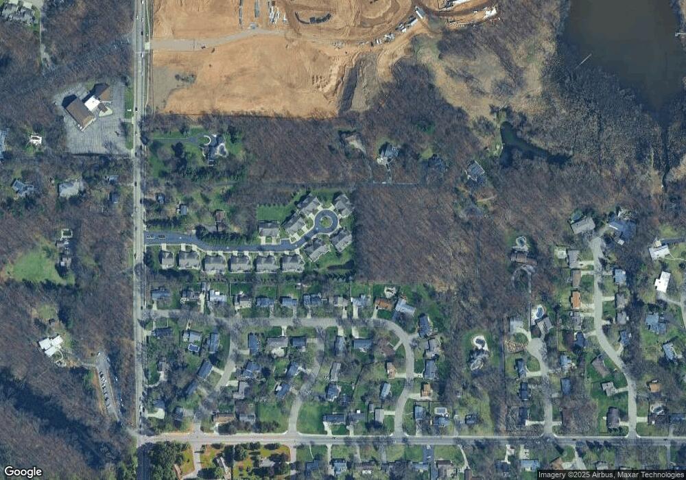
Map
Nearby Homes
- 1936 W Kilgore Rd
- 1901 Timberlane Dr
- 3924 Oakland Dr
- 5093 Grand Arbre Trail
- 1818 Greenbriar Dr
- 4428 Bronson Blvd
- 2701 Brookhaven Dr
- 5037 Old Colony Rd
- 2306 Benton Ave
- 3621 Bronson Blvd
- 1122 Parker Ave
- 5545 Roanoke St
- 5518 Monticello Ave
- 1028 Clover St
- 4417 Lake Forest Dr
- 742 W Kilgore Rd Unit 108
- 742 W Kilgore Rd Unit 202
- 734 W Kilgore Rd Unit 108
- 5631 Mount Vernon Ave
- 756 W Kilgore Rd Unit 108
- 1924 Autumn Crest Ln Unit 15
- 1936 Autumn Crest Ln Unit 14
- 1904 Autumn Crest Ln Unit 17
- 1907 Autumn Crest Ln Unit 18
- 1948 Autumn Crest Ln Unit 13
- 1919 Autumn Crest Ln Unit 19
- 1945 Autumn Crest Ln Unit 21
- 1933 Autumn Crest Ln Unit 20
- 1960 Autumn Crest Ln Unit 12
- 1951 Autumn Crest Ln Unit 22
- 4235 Oakland Dr
- 1972 Autumn Crest Ln Unit 11
- 1856 Skyler Dr
- 1922 Skyler Dr
- 1918 Skyler Dr
- 1983 Autumn Crest Ln Unit 23
- 1914 Skyler Dr
- 1906 Skyler Dr
- 1984 Autumn Crest Ln Unit 10
- 1999 Autumn Crest Ln Unit 24