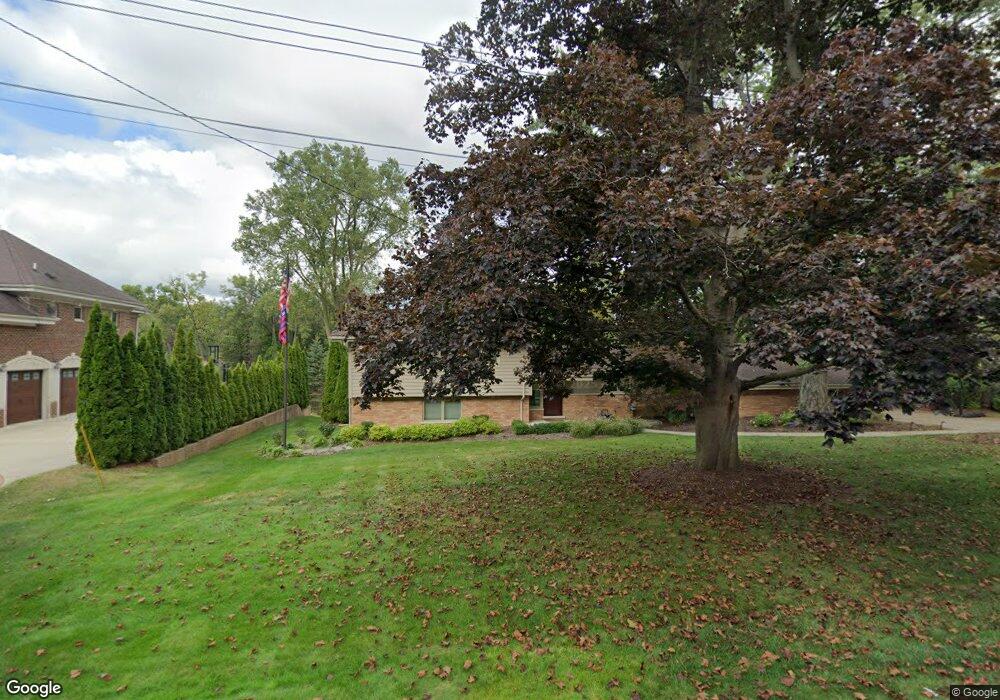
1912 Bayou Dr Unit Bldg-Unit Bloomfield Hills, MI 48302
Estimated Value: $745,409 - $860,000
4
Beds
4
Baths
2,426
Sq Ft
$335/Sq Ft
Est. Value
About This Home
This home is located at 1912 Bayou Dr Unit Bldg-Unit, Bloomfield Hills, MI 48302 and is currently estimated at $811,852, approximately $334 per square foot. 1912 Bayou Dr Unit Bldg-Unit is a home located in Oakland County with nearby schools including West Hills Middle School, Bloomfield Hills High School, and Brookfield Academy - West Bloomfield Campus.
Ownership History
Date
Name
Owned For
Owner Type
Purchase Details
Closed on
Dec 21, 2020
Sold by
Hockey Peter and Hockey Angela
Bought by
Hockey Peter C and Hockey Angela H
Current Estimated Value
Purchase Details
Closed on
Dec 20, 2018
Sold by
Brown David L and Brown Gail M
Bought by
Hockey Peter and Hockey Angela
Home Financials for this Owner
Home Financials are based on the most recent Mortgage that was taken out on this home.
Original Mortgage
$444,000
Outstanding Balance
$391,173
Interest Rate
4.8%
Mortgage Type
New Conventional
Estimated Equity
$420,679
Create a Home Valuation Report for This Property
The Home Valuation Report is an in-depth analysis detailing your home's value as well as a comparison with similar homes in the area
Home Values in the Area
Average Home Value in this Area
Purchase History
| Date | Buyer | Sale Price | Title Company |
|---|---|---|---|
| Hockey Peter C | -- | None Available | |
| Hockey Peter | $555,000 | None Available |
Source: Public Records
Mortgage History
| Date | Status | Borrower | Loan Amount |
|---|---|---|---|
| Open | Hockey Peter | $444,000 |
Source: Public Records
Tax History Compared to Growth
Tax History
| Year | Tax Paid | Tax Assessment Tax Assessment Total Assessment is a certain percentage of the fair market value that is determined by local assessors to be the total taxable value of land and additions on the property. | Land | Improvement |
|---|---|---|---|---|
| 2024 | $5,890 | $316,430 | $0 | $0 |
| 2023 | $5,727 | $302,800 | $0 | $0 |
| 2022 | $10,988 | $294,430 | $0 | $0 |
| 2021 | $11,049 | $288,680 | $0 | $0 |
| 2020 | $5,637 | $296,300 | $0 | $0 |
| 2019 | $11,163 | $300,000 | $0 | $0 |
| 2018 | $11,380 | $349,540 | $0 | $0 |
| 2017 | $11,203 | $340,730 | $0 | $0 |
| 2016 | $11,168 | $328,950 | $0 | $0 |
| 2015 | -- | $323,730 | $0 | $0 |
| 2014 | -- | $291,800 | $0 | $0 |
| 2011 | -- | $239,170 | $0 | $0 |
Source: Public Records
Map
Nearby Homes
- 1887 Harvest Ln
- 2129 Long Lake Shore Dr
- 1744 Heron Ridge Dr
- 1735 Heron Ridge Dr
- 1831 Long Pointe Dr
- 2276 Shore Hill Dr
- 1772 Heron Ridge Dr
- 1729 Heron Ridge Dr
- 3668 Bayou Dr
- 1723 Heron Ridge Dr
- 2954 Long Ridge Ct
- 2785 Turtle Lake Dr
- 2779 Turtle Lake Dr
- 2707 Turtle Lake Dr
- 2759 Turtle Ridge Dr
- 2372 Pine Lake Rd
- 3468 Pine Estates Dr
- 2360 Pineview
- 2665 Middlebelt Rd
- 2670 Turtle Lake Dr
- 1912 Bayou Dr
- 1885 Long Lake Shore Dr
- 1920 Bayou Dr
- 1907 Long Lake Shore Dr
- 1869 Long Lake Shore Dr
- 1917 Bayou Dr
- 1928 Bayou Dr
- 1880 Long Lake Shore Dr
- 1853 Long Lake Shore Dr
- 1870 Long Lake Shore Dr
- 1915 Long Lake Shore Dr
- 1906 Long Lake Shore Dr Unit Bldg-Unit
- 1906 Long Lake Shore Dr
- 1936 Bayou Dr
- 1922 Wakerobin Dr
- 1925 Long Lake Shore Dr
- 1864 Long Lake Shore Dr
- 1839 Long Lake Shore Dr
- 1914 Long Lake Shore Dr
- 1914 Long Lake Shore Dr
