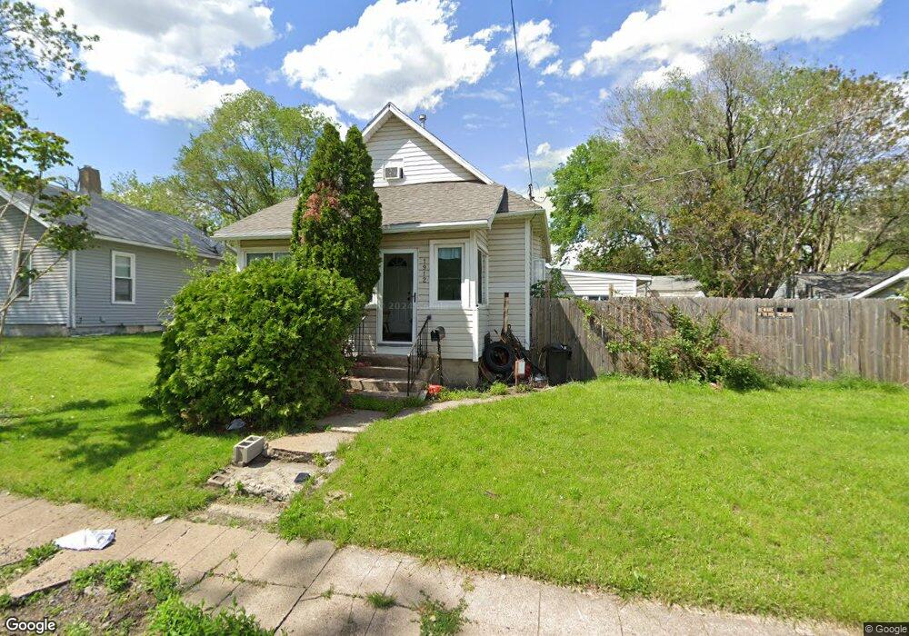
1912 Logan Ave Des Moines, IA 50316
Capitol East NeighborhoodEstimated Value: $142,000 - $154,036
3
Beds
1
Bath
1,558
Sq Ft
$96/Sq Ft
Est. Value
About This Home
This home is located at 1912 Logan Ave, Des Moines, IA 50316 and is currently estimated at $150,259, approximately $96 per square foot. 1912 Logan Ave is a home located in Polk County with nearby schools including Capitol View Elementary School, East High School, and Joshua Christian Academy-Main Campus.
Ownership History
Date
Name
Owned For
Owner Type
Purchase Details
Closed on
May 19, 2015
Sold by
Minikis Susan and Minikis Michael
Bought by
Brown Camilla S
Current Estimated Value
Home Financials for this Owner
Home Financials are based on the most recent Mortgage that was taken out on this home.
Original Mortgage
$54,000
Outstanding Balance
$43,081
Interest Rate
4.7%
Mortgage Type
Adjustable Rate Mortgage/ARM
Estimated Equity
$107,178
Purchase Details
Closed on
Jan 12, 2015
Sold by
Srs Inc
Bought by
Minikis Susan
Purchase Details
Closed on
Aug 10, 2000
Sold by
Mouzakis Jeffrey F
Bought by
Srs Inc
Create a Home Valuation Report for This Property
The Home Valuation Report is an in-depth analysis detailing your home's value as well as a comparison with similar homes in the area
Home Values in the Area
Average Home Value in this Area
Purchase History
| Date | Buyer | Sale Price | Title Company |
|---|---|---|---|
| Brown Camilla S | $60,000 | None Available | |
| Minikis Susan | $57,500 | None Available | |
| Srs Inc | -- | -- |
Source: Public Records
Mortgage History
| Date | Status | Borrower | Loan Amount |
|---|---|---|---|
| Open | Brown Camilla S | $54,000 |
Source: Public Records
Tax History Compared to Growth
Tax History
| Year | Tax Paid | Tax Assessment Tax Assessment Total Assessment is a certain percentage of the fair market value that is determined by local assessors to be the total taxable value of land and additions on the property. | Land | Improvement |
|---|---|---|---|---|
| 2025 | $2,056 | $134,600 | $26,400 | $108,200 |
| 2024 | $2,056 | $115,000 | $22,500 | $92,500 |
| 2023 | $1,904 | $115,000 | $22,500 | $92,500 |
| 2022 | $1,888 | $89,700 | $18,400 | $71,300 |
| 2021 | $1,732 | $89,700 | $18,400 | $71,300 |
| 2020 | $1,794 | $78,000 | $16,100 | $61,900 |
| 2019 | $1,578 | $78,000 | $16,100 | $61,900 |
| 2018 | $1,556 | $67,200 | $13,900 | $53,300 |
| 2017 | $1,652 | $67,200 | $13,900 | $53,300 |
| 2016 | $1,604 | $69,600 | $12,900 | $56,700 |
| 2015 | $1,604 | $69,600 | $12,900 | $56,700 |
| 2014 | $1,506 | $65,400 | $12,100 | $53,300 |
Source: Public Records
Map
Nearby Homes
- 1840 Capitol Ave
- 1804 Capitol Ave
- 2069 E Grand Ave
- 1655 Capitol Ave
- 2034 Des Moines St
- 2146 Capitol Ave
- 1721 Des Moines St
- 2216 Logan Ave
- 00 Burson St
- 2057 Maple St
- 716 E 18th St
- 1613 Des Moines St
- 2311 Des Moines St
- 2317 Des Moines St
- 2343 E Grand Ave
- 2334 Des Moines St
- 104 E 15th St
- 2323 Maple St
- 1236 Stewart St
- 2402 Des Moines St
- 1916 Logan Ave
- 1913 E Walnut St
- 1909 E Walnut St
- 283 E 19th St
- 1917 Logan Ave
- 1921 Logan Ave
- 1905 E Walnut St
- 1935 E Walnut St
- 1901 E Walnut St
- 245 E 19th St
- 1850 Logan Ave
- 1855 E Walnut St
- 1839 Logan Ave
- 1926 E Walnut St
- 1920 E Walnut St
- 1914 E Walnut St
- 1840 Logan Ave
- 1922 E Walnut St
- 1908 E Walnut St
- 1904 E Walnut St