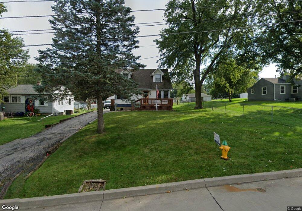
1912 Southlawn Dr Des Moines, IA 50315
Watrous South NeighborhoodEstimated Value: $197,727 - $230,000
3
Beds
2
Baths
1,122
Sq Ft
$193/Sq Ft
Est. Value
About This Home
This home is located at 1912 Southlawn Dr, Des Moines, IA 50315 and is currently estimated at $216,682, approximately $193 per square foot. 1912 Southlawn Dr is a home located in Polk County with nearby schools including Wright Elementary School, Brody Middle School, and Lincoln High School.
Ownership History
Date
Name
Owned For
Owner Type
Purchase Details
Closed on
May 19, 2006
Sold by
Lacey Scott D and Lacey Katrina
Bought by
Foster Lance L and Foster Sarah C
Current Estimated Value
Home Financials for this Owner
Home Financials are based on the most recent Mortgage that was taken out on this home.
Original Mortgage
$93,500
Outstanding Balance
$54,645
Interest Rate
6.56%
Mortgage Type
Fannie Mae Freddie Mac
Estimated Equity
$162,037
Purchase Details
Closed on
May 11, 2006
Sold by
Lacey Stephen D
Bought by
Foster Lance and Foster Sarah
Home Financials for this Owner
Home Financials are based on the most recent Mortgage that was taken out on this home.
Original Mortgage
$93,500
Outstanding Balance
$54,645
Interest Rate
6.56%
Mortgage Type
Fannie Mae Freddie Mac
Estimated Equity
$162,037
Create a Home Valuation Report for This Property
The Home Valuation Report is an in-depth analysis detailing your home's value as well as a comparison with similar homes in the area
Home Values in the Area
Average Home Value in this Area
Purchase History
| Date | Buyer | Sale Price | Title Company |
|---|---|---|---|
| Foster Lance L | -- | None Available | |
| Foster Lance | $93,000 | None Available |
Source: Public Records
Mortgage History
| Date | Status | Borrower | Loan Amount |
|---|---|---|---|
| Open | Foster Lance L | $93,500 |
Source: Public Records
Tax History Compared to Growth
Tax History
| Year | Tax Paid | Tax Assessment Tax Assessment Total Assessment is a certain percentage of the fair market value that is determined by local assessors to be the total taxable value of land and additions on the property. | Land | Improvement |
|---|---|---|---|---|
| 2025 | $3,348 | $178,500 | $37,900 | $140,600 |
| 2024 | $3,348 | $170,200 | $35,500 | $134,700 |
| 2023 | $3,226 | $170,200 | $35,500 | $134,700 |
| 2022 | $3,202 | $136,900 | $29,500 | $107,400 |
| 2021 | $3,130 | $136,900 | $29,500 | $107,400 |
| 2020 | $3,250 | $125,400 | $26,900 | $98,500 |
| 2019 | $3,002 | $125,400 | $26,900 | $98,500 |
| 2018 | $2,972 | $111,700 | $23,500 | $88,200 |
| 2017 | $2,794 | $111,700 | $23,500 | $88,200 |
| 2016 | $2,722 | $103,300 | $21,300 | $82,000 |
| 2015 | $2,722 | $103,300 | $21,300 | $82,000 |
| 2014 | $2,572 | $96,800 | $19,500 | $77,300 |
Source: Public Records
Map
Nearby Homes
- 1810 Porter Ave
- 1801 Payton Ave
- 1616 Southlawn Dr
- 1616 Porter Ave
- 5410 SW 20th St
- 1419 Payton Ave
- 1605 Frazier Ave
- 1401 Cutler Ave
- 1500 Leland Ave
- 1304 Wall Ave
- 6107 SW 14th St
- 6001 SW 13th Place
- 5120 SW 14th St
- 5013 SW 16th St
- 1310 Leland Ave
- 1210 Highview Dr
- 1207 Kenyon Ave
- 4710 SW 16th St
- 1243 Hackley Ave
- 4916 SW 13th St
- 1908 Southlawn Dr
- 1916 Southlawn Dr
- 1906 Southlawn Dr
- 2000 Southlawn Dr
- 1911 Highview Dr
- 1907 Highview Dr
- 1915 Highview Dr
- 1903 Highview Dr
- 1907 Southlawn Dr
- 1911 Southlawn Dr
- 2008 Southlawn Dr
- 1915 Southlawn Dr
- 1901 Southlawn Dr
- 1815 Highview Dr
- 2003 Southlawn Dr
- 1812 Southlawn Dr
- 2005 Highview Dr
- 2007 Highview Dr
- 2012 Southlawn Dr
- 1815 Southlawn Dr