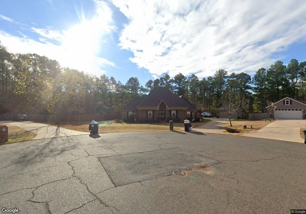
1912 Sparrowridge Cir Haughton, LA 71037
Eastwood NeighborhoodEstimated Value: $438,000 - $515,000
3
Beds
3
Baths
2,660
Sq Ft
$176/Sq Ft
Est. Value
About This Home
This home is located at 1912 Sparrowridge Cir, Haughton, LA 71037 and is currently estimated at $466,852, approximately $175 per square foot. 1912 Sparrowridge Cir is a home located in Bossier Parish with nearby schools including T.L. Rodes Elementary School, Platt Elementary School, and Princeton Elementary School.
Ownership History
Date
Name
Owned For
Owner Type
Purchase Details
Closed on
Nov 24, 2014
Sold by
Attaway John Mansfield and Cummings Mary R
Bought by
Polk James C and Polk Brooke A
Current Estimated Value
Home Financials for this Owner
Home Financials are based on the most recent Mortgage that was taken out on this home.
Original Mortgage
$326,634
Outstanding Balance
$251,499
Interest Rate
4.14%
Mortgage Type
VA
Estimated Equity
$215,353
Purchase Details
Closed on
May 16, 2008
Sold by
Tri State Sand & Gravelllc
Bought by
Attaway John Mansfield
Create a Home Valuation Report for This Property
The Home Valuation Report is an in-depth analysis detailing your home's value as well as a comparison with similar homes in the area
Home Values in the Area
Average Home Value in this Area
Purchase History
| Date | Buyer | Sale Price | Title Company |
|---|---|---|---|
| Polk James C | $316,200 | United Title Of Louisiana In | |
| Attaway John Mansfield | $32,500 | None Available |
Source: Public Records
Mortgage History
| Date | Status | Borrower | Loan Amount |
|---|---|---|---|
| Open | Polk James C | $326,634 |
Source: Public Records
Tax History Compared to Growth
Tax History
| Year | Tax Paid | Tax Assessment Tax Assessment Total Assessment is a certain percentage of the fair market value that is determined by local assessors to be the total taxable value of land and additions on the property. | Land | Improvement |
|---|---|---|---|---|
| 2024 | $36 | $44,143 | $5,200 | $38,943 |
| 2023 | $519 | $34,559 | $3,950 | $30,609 |
| 2022 | $2,417 | $34,559 | $3,950 | $30,609 |
| 2021 | $2,134 | $32,233 | $3,950 | $28,283 |
| 2020 | $2,134 | $32,233 | $3,950 | $28,283 |
| 2019 | $2,978 | $31,370 | $3,000 | $28,370 |
| 2018 | $2,978 | $31,370 | $3,000 | $28,370 |
| 2017 | $2,941 | $31,370 | $3,000 | $28,370 |
| 2016 | $2,941 | $31,370 | $3,000 | $28,370 |
| 2015 | $2,785 | $31,490 | $3,000 | $28,490 |
| 2014 | $3,645 | $31,490 | $3,000 | $28,490 |
Source: Public Records
Map
Nearby Homes
- 2805 Clearbrook Way
- 2549 Bloomfield Ln
- 2228 Grapevine Ln
- 1940 Honeytree Trail
- 2816 Sunrise Point
- 2117 Forest Hills Blvd
- 2200 Grapevine Ln
- 2115 Hollow Wood Way
- 3030 Sagefield Ln
- 774 Chandler Rd
- 212 Sweetgum Dr
- 109 Flagg Dr
- 4705 Highway 80 Unit 1
- 105 Flagg Dr
- 213 Whispering Pine Dr
- 117 Martha Dr
- 506 Whispering Pine Cir
- 123 Taylor Bend St
- 128 Taylor Bend St
- 615 Lawrence Dr
- 1910 Sparrowridge Cir
- 1911 Sparrowridge Cir
- 1908 Sparrowridge Cir
- 1909 Sparrow Ridge Cir
- 1909 Sparrowridge Cir
- 1907 Sparrowridge Cir
- 1907 Sparrowridge Cir Unit 7
- 1906 Sparrowridge Cir
- 2012 Honeytree Trail Cir
- 2014 Honeytree Trail Cir
- 2014 Honeytree Trail Cir Unit 24
- 2014 Honeytree Trail Cir
- 2014 Honeytree Trail Cir Unit 7
- 2016 Honeytree Trail Cir
- 1905 Sparrow Ridge Cir
- 2010 Honeytree Trail Cir
- 1905 Sparrowridge Cir
- 1904 Sparrowridge Cir
- 2008 Honeytree Trail Cir
- 1903 Sparrowridge Cir