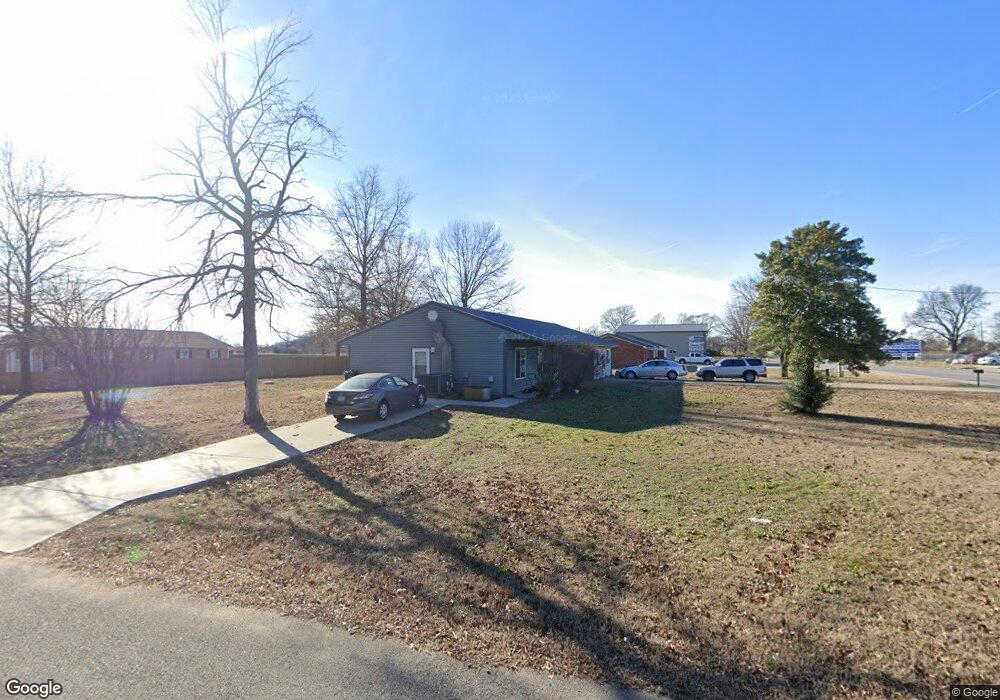
1912 State Highway Hh Sikeston, MO 63801
Estimated Value: $172,000 - $190,933
--
Bed
--
Bath
1,232
Sq Ft
$149/Sq Ft
Est. Value
About This Home
This home is located at 1912 State Highway Hh, Sikeston, MO 63801 and is currently estimated at $183,644, approximately $149 per square foot. 1912 State Highway Hh is a home with nearby schools including Sikeston Senior High School.
Ownership History
Date
Name
Owned For
Owner Type
Purchase Details
Closed on
Sep 1, 2021
Sold by
Warren David W
Bought by
Fortune Holdings Llc
Current Estimated Value
Home Financials for this Owner
Home Financials are based on the most recent Mortgage that was taken out on this home.
Original Mortgage
$119,850
Outstanding Balance
$108,651
Interest Rate
2.7%
Mortgage Type
Future Advance Clause Open End Mortgage
Estimated Equity
$74,993
Purchase Details
Closed on
Jul 13, 2021
Sold by
Warren David W
Bought by
Mooneyhan James and Mooneyhan Ashley
Home Financials for this Owner
Home Financials are based on the most recent Mortgage that was taken out on this home.
Original Mortgage
$119,850
Outstanding Balance
$108,651
Interest Rate
2.7%
Mortgage Type
Future Advance Clause Open End Mortgage
Estimated Equity
$74,993
Purchase Details
Closed on
Jun 27, 2014
Sold by
Lue Ethel Lue Ethel
Bought by
Warren David W
Home Financials for this Owner
Home Financials are based on the most recent Mortgage that was taken out on this home.
Original Mortgage
$91,500
Interest Rate
4.18%
Mortgage Type
New Conventional
Create a Home Valuation Report for This Property
The Home Valuation Report is an in-depth analysis detailing your home's value as well as a comparison with similar homes in the area
Home Values in the Area
Average Home Value in this Area
Purchase History
| Date | Buyer | Sale Price | Title Company |
|---|---|---|---|
| Fortune Holdings Llc | -- | Semo Title Company | |
| Mooneyhan James | -- | Semo Title Company | |
| Warren David W | -- | -- |
Source: Public Records
Mortgage History
| Date | Status | Borrower | Loan Amount |
|---|---|---|---|
| Open | Fortune Holdings Llc | $119,850 | |
| Previous Owner | Mooneyhan James | $140,000 | |
| Previous Owner | Warren David W | $91,500 |
Source: Public Records
Tax History Compared to Growth
Tax History
| Year | Tax Paid | Tax Assessment Tax Assessment Total Assessment is a certain percentage of the fair market value that is determined by local assessors to be the total taxable value of land and additions on the property. | Land | Improvement |
|---|---|---|---|---|
| 2025 | $48 | $25,040 | $0 | $0 |
| 2024 | $48 | $870 | $0 | $0 |
| 2023 | $48 | $870 | $0 | $0 |
| 2022 | $50 | $870 | $0 | $0 |
| 2021 | $2,315 | $42,930 | $0 | $0 |
| 2020 | $608 | $27,690 | $0 | $0 |
| 2019 | -- | $27,690 | $0 | $0 |
| 2018 | -- | $12,900 | $0 | $0 |
| 2017 | -- | $12,900 | $0 | $0 |
| 2014 | -- | $12,900 | $0 | $0 |
| 2011 | -- | $12,880 | $0 | $0 |
Source: Public Records
Map
Nearby Homes
- 108 Jennings Ln
- 608 State Highway H
- 1394 County Road 538
- 110 Lynn St
- 419 Lynn St
- 549 E Outer Rd
- 37 Plantation Dr
- 0 Mo-Aa Unit MAR25029644
- 2019 State Highway H
- 2047 State Highway H
- 224 S Interstate Dr
- 38 Matt St
- 306 Cravens St
- 114 Norval Ave
- 301 Citation Dr
- 410 Secretariat
- 408 Secretariat
- 406 Secretariat
- 404 Secretariat
- 402 Secretariat
- 1896 State Highway Hh
- 37 Lone Oak
- 54 Lone Oak
- 1938 State Highway Hh
- 57 Lone Oak
- 1874 State Highway Hh
- 1958 State Highway Hh
- 118 Lone Oak
- 1968 State Highway Hh
- 105 Lone Oak
- 85 Lone Oak
- 119 Lone Oak
- 771 State Highway H
- 769 State Highway H
- 1788 State Highway Hh
- 113 Larue Ln
- 106 Jennings Ln
- 115 Larue Ln
- 117 Larue Ln
- 119 Larue Ln