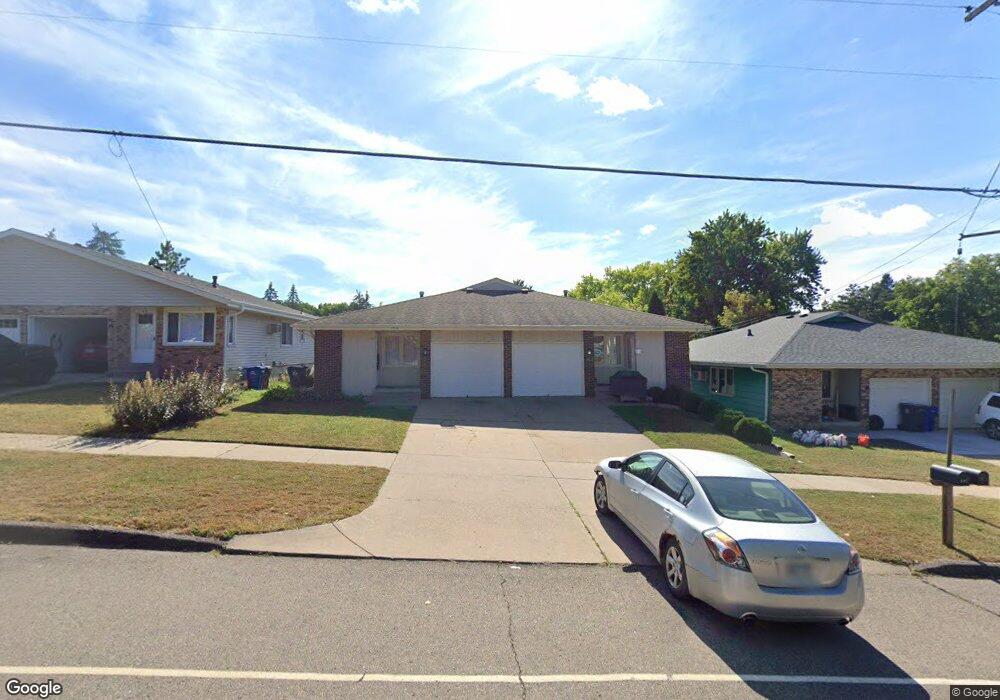
1912 Upper Afton Rd E Saint Paul, MN 55119
Battle Creek NeighborhoodEstimated Value: $199,000 - $309,000
2
Beds
1
Bath
982
Sq Ft
$253/Sq Ft
Est. Value
About This Home
This home is located at 1912 Upper Afton Rd E, Saint Paul, MN 55119 and is currently estimated at $248,267, approximately $252 per square foot. 1912 Upper Afton Rd E is a home located in Ramsey County with nearby schools including Battle Creek Elementary School, Battle Creek Middle School, and Harding Senior High School.
Ownership History
Date
Name
Owned For
Owner Type
Purchase Details
Closed on
May 24, 2024
Sold by
Ward Joseph E and Ward Joann M
Bought by
Joseph E Ward Iii Living Trust and Ward
Current Estimated Value
Create a Home Valuation Report for This Property
The Home Valuation Report is an in-depth analysis detailing your home's value as well as a comparison with similar homes in the area
Home Values in the Area
Average Home Value in this Area
Purchase History
We collect this data history from publicly available records. To have your information removed, we recommend requesting removal directly through your county’s website.
| Date | Buyer | Sale Price | Title Company |
|---|---|---|---|
| Joseph E Ward Iii Living Trust | $500 | None Listed On Document |
Source: Public Records
Tax History
| Year | Tax Paid | Tax Assessment Tax Assessment Total Assessment is a certain percentage of the fair market value that is determined by local assessors to be the total taxable value of land and additions on the property. | Land | Improvement |
|---|---|---|---|---|
| 2025 | $3,944 | $244,100 | $21,800 | $222,300 |
| 2023 | $3,944 | $251,000 | $21,800 | $229,200 |
| 2022 | $3,048 | $239,600 | $21,800 | $217,800 |
| 2021 | $3,134 | $185,200 | $21,800 | $163,400 |
| 2020 | $2,818 | $197,500 | $21,800 | $175,700 |
| 2019 | $2,780 | $164,600 | $21,800 | $142,800 |
| 2018 | $2,424 | $159,800 | $21,800 | $138,000 |
| 2017 | $2,380 | $142,500 | $19,300 | $123,200 |
| 2016 | $1,878 | $0 | $0 | $0 |
| 2015 | $2,094 | $109,400 | $19,300 | $90,100 |
| 2014 | $1,798 | $0 | $0 | $0 |
Source: Public Records
Map
Nearby Homes
- 1945 Upper Afton Rd E
- 26 W Sandra Lee Dr
- 182 Faye St
- 2023 Parkside Dr
- 120 Ruth St N Unit 1
- 2076 Pathways Dr Unit 1
- 49 Flandrau Place
- 71 B St
- 248 Ruth St N
- 993 Kennard St N
- 2169 Glenridge Ave
- 1610 Burns Ave
- 1618 Mclean Ave
- 1596 Mclean Ave
- 444 Van Dyke St
- 995 Kennard St
- TBD Kennard St
- 442 White Bear Ave N
- 448 White Bear Ave N
- 465 Ruth St N
- 1925 Upper Afton Rd E
- 1905 Upper Afton Rd E
- 39 Darlene St
- 29 Darlene St
- 69 Darlene St
- 49 Darlene St
- 1904 Upper Afton Rd E
- 1908 Upper Afton Rd E
- 1898 Upper Afton Rd E
- 1914 Upper Afton Rd E
- 76 Darlene St
- 1895 Upper Afton Rd E
- 42 Darlene St
- 36 Darlene St
- 30 Darlene St
- 48 Darlene St
- 8 Battle Creek Rd
- 1926 Upper Afton Rd E
- 68 Darlene St
- 52 Darlene St
Your Personal Tour Guide
Ask me questions while you tour the home.