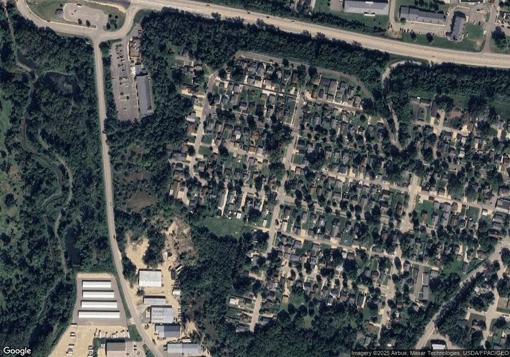
1912 W 6th St Red Wing, MN 55066
Estimated Value: $186,000 - $223,000
2
Beds
1
Bath
816
Sq Ft
$254/Sq Ft
Est. Value
About This Home
This home is located at 1912 W 6th St, Red Wing, MN 55066 and is currently estimated at $207,220, approximately $253 per square foot. 1912 W 6th St is a home located in Goodhue County with nearby schools including Sunnyside Elementary School, Burnside Elementary School, and Twin Bluff Middle School.
Ownership History
Date
Name
Owned For
Owner Type
Purchase Details
Closed on
Apr 14, 2022
Sold by
Clark Randall C
Bought by
Clark Randall C and Lampman-Clark Jediah Sundance
Current Estimated Value
Purchase Details
Closed on
Nov 17, 2014
Sold by
Larson Roger L and Larson Delores A
Bought by
Clark Randall C
Home Financials for this Owner
Home Financials are based on the most recent Mortgage that was taken out on this home.
Original Mortgage
$81,000
Interest Rate
4.01%
Purchase Details
Closed on
Sep 11, 2008
Sold by
Larson Roger L and Larson Delores A
Bought by
Clark Randall C
Home Financials for this Owner
Home Financials are based on the most recent Mortgage that was taken out on this home.
Original Mortgage
$75,600
Interest Rate
10%
Mortgage Type
Land Contract Argmt. Of Sale
Create a Home Valuation Report for This Property
The Home Valuation Report is an in-depth analysis detailing your home's value as well as a comparison with similar homes in the area
Home Values in the Area
Average Home Value in this Area
Purchase History
| Date | Buyer | Sale Price | Title Company |
|---|---|---|---|
| Clark Randall C | -- | None Listed On Document | |
| Clark Randall C | $81,000 | Goodhue County Abstract | |
| Clark Randall Randall | $81,000 | -- | |
| Clark Randall C | $81,000 | -- |
Source: Public Records
Mortgage History
| Date | Status | Borrower | Loan Amount |
|---|---|---|---|
| Previous Owner | Clark Randall Randall | $81,000 | |
| Previous Owner | Clark Randall C | $75,600 |
Source: Public Records
Tax History Compared to Growth
Tax History
| Year | Tax Paid | Tax Assessment Tax Assessment Total Assessment is a certain percentage of the fair market value that is determined by local assessors to be the total taxable value of land and additions on the property. | Land | Improvement |
|---|---|---|---|---|
| 2025 | $2,180 | $193,600 | $63,800 | $129,800 |
| 2024 | $2,180 | $186,700 | $63,800 | $122,900 |
| 2023 | $1,121 | $178,400 | $63,800 | $114,600 |
| 2022 | $1,790 | $159,700 | $45,900 | $113,800 |
| 2021 | $1,608 | $140,500 | $45,900 | $94,600 |
| 2020 | $1,410 | $130,200 | $45,900 | $84,300 |
| 2019 | $1,146 | $111,400 | $45,900 | $65,500 |
| 2018 | $922 | $96,700 | $45,900 | $50,800 |
| 2017 | $900 | $88,600 | $45,900 | $42,700 |
| 2016 | $830 | $87,700 | $45,900 | $41,800 |
| 2015 | $806 | $85,800 | $45,900 | $39,900 |
| 2014 | -- | $83,600 | $45,900 | $37,700 |
Source: Public Records
Map
Nearby Homes
- 1738 W 6th St
- 717 Blaine St
- 1715 W 5th St
- 504 Buchanan St Unit 506
- 1578 Alvina St
- 1130 W 4th St
- 1224 Tee Up Ln
- 2762 Ridgeview Dr
- 2773 Ridgeview Dr
- 1238 Foursome St
- 1828 Perlich Ave Unit 1A
- 1062 Putnam Ave
- 815 W 4th St
- 1181 Hewitt Blvd
- 1108 Hawthorne St
- 1125 Hewitt Blvd
- 1180 Hewitt Blvd
- 1029 Putnam Ave
- 1012 West Ave
- 2114 Village Dr Unit 123
- 1912 1912 6th-Street-w
- 1906 W 6th St
- 1916 W 6th St
- 1902 W 6th St
- 1922 W 6th St
- 1926 W 6th St
- 1911 W 5th St
- 1907 W 5th St
- 1917 W 5th St
- 1903 W 5th St
- xxx Cleveland St
- 1923 W 5th St
- 1923 1923 5th-Street-w
- 1932 W 6th St
- 1862 W 6th St
- 1913 W 6th St
- 1917 W 6th St
- 1907 W 6th St
- 1903 1903 6th-Street-w
- 1923 W 6th St
