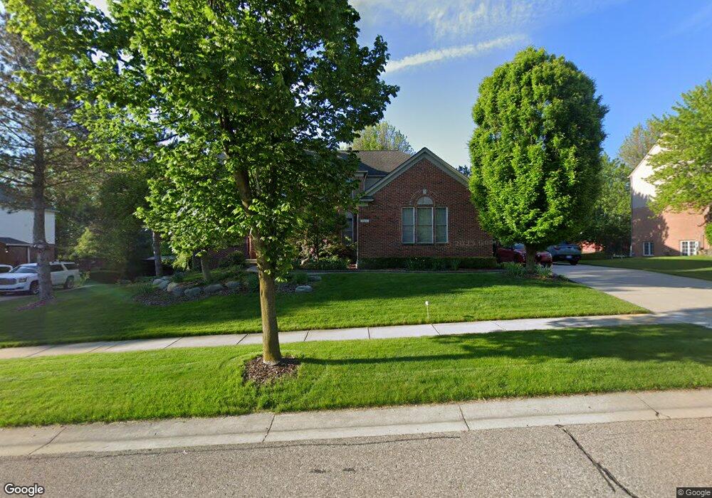
1912 Watson Cir Rochester, MI 48306
Estimated Value: $720,048 - $950,000
3
Beds
5
Baths
3,302
Sq Ft
$255/Sq Ft
Est. Value
About This Home
This home is located at 1912 Watson Cir, Rochester, MI 48306 and is currently estimated at $843,512, approximately $255 per square foot. 1912 Watson Cir is a home located in Oakland County with nearby schools including Hart Middle School, Hugger Elementary School, and Stoney Creek High School.
Ownership History
Date
Name
Owned For
Owner Type
Purchase Details
Closed on
Sep 24, 2024
Sold by
Cook William A
Bought by
Cook William A and William A Cook Trust
Current Estimated Value
Purchase Details
Closed on
May 24, 2023
Sold by
Cook William A Le
Bought by
Cook William A
Purchase Details
Closed on
Oct 21, 2021
Sold by
Cook William A
Bought by
Cook William A
Purchase Details
Closed on
Apr 10, 2018
Sold by
Cook William A and Cook Kathryn J
Bought by
Cook William J and Alonso Natalie J
Purchase Details
Closed on
Dec 21, 1999
Sold by
Pulte Land Dev Corp
Bought by
Cook William A
Home Financials for this Owner
Home Financials are based on the most recent Mortgage that was taken out on this home.
Original Mortgage
$345,600
Interest Rate
7.98%
Create a Home Valuation Report for This Property
The Home Valuation Report is an in-depth analysis detailing your home's value as well as a comparison with similar homes in the area
Home Values in the Area
Average Home Value in this Area
Purchase History
| Date | Buyer | Sale Price | Title Company |
|---|---|---|---|
| Cook William A | -- | None Listed On Document | |
| Cook William A | -- | None Listed On Document | |
| Cook William A | -- | None Listed On Document | |
| Cook William A | -- | None Listed On Document | |
| Cook William J | -- | None Available | |
| Cook William A | $90,000 | -- |
Source: Public Records
Mortgage History
| Date | Status | Borrower | Loan Amount |
|---|---|---|---|
| Previous Owner | Cook William A | $345,600 |
Source: Public Records
Tax History Compared to Growth
Tax History
| Year | Tax Paid | Tax Assessment Tax Assessment Total Assessment is a certain percentage of the fair market value that is determined by local assessors to be the total taxable value of land and additions on the property. | Land | Improvement |
|---|---|---|---|---|
| 2024 | $7,036 | $333,570 | $0 | $0 |
| 2023 | $6,737 | $297,790 | $0 | $0 |
| 2022 | $7,167 | $275,860 | $0 | $0 |
| 2021 | $6,733 | $272,370 | $0 | $0 |
| 2020 | $6,322 | $262,760 | $0 | $0 |
| 2019 | $6,951 | $255,760 | $0 | $0 |
| 2018 | $6,941 | $250,330 | $0 | $0 |
| 2017 | $6,806 | $248,740 | $0 | $0 |
| 2016 | $6,589 | $239,580 | $0 | $0 |
| 2015 | -- | $227,170 | $0 | $0 |
| 2014 | -- | $211,230 | $0 | $0 |
| 2011 | -- | $179,190 | $0 | $0 |
Source: Public Records
Map
Nearby Homes
- 1983 Dunham Dr
- 1322 Copper Cir Unit 26
- 1955 Clearwood Ct Unit 665
- 2156 Willow Cir
- 2113 Marissa Way Unit 99
- 1985 Monarch Dr Unit 7
- 54673 Marissa Way Unit 93
- 2423 Buckthorn Dr
- 628 Springview Dr Unit 120
- 2583 Barberry Dr
- 2632 Hawthorne Dr S
- 2282 Kingscross Dr
- 674 Springview Dr
- 6230 Winkler Mill Rd
- 1600 Mill Race
- 54782 Whitby Way
- 877 Quarry
- 54660 Whitby Way
- 861 Quarry
- 620 Appoline Ct
- 1918 Watson Cir
- 1906 Watson Cir
- 1915 Catlin Dr
- 1921 Catlin Dr
- 1909 Catlin Dr
- 1911 Watson Cir
- 1905 Watson Cir
- 1919 Watson Cir
- 1103 Miners Run
- 1105 Miners Run
- 1114 Miners Run
- 1920 Catlin Dr
- 1914 Catlin Dr
- 1097 Miners Run
- 1107 Miners Run
- 1930 Watson Cir
- 1908 Catlin Dr
- 1939 Catlin Dr
- 1113 Miners Run
- 1120 Miners Run