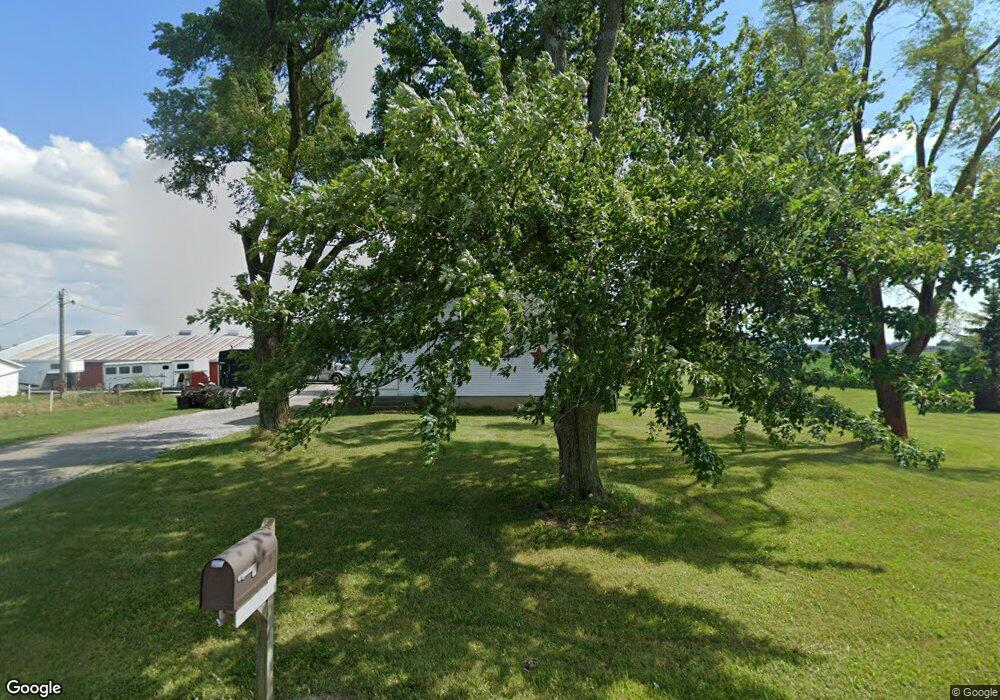
19120 County Road N30 West Unity, OH 43570
Estimated Value: $145,294 - $181,000
3
Beds
1
Bath
1,258
Sq Ft
$130/Sq Ft
Est. Value
About This Home
This home is located at 19120 County Road N30, West Unity, OH 43570 and is currently estimated at $163,574, approximately $130 per square foot. 19120 County Road N30 is a home located in Williams County with nearby schools including Hilltop Elementary School and Hilltop High School.
Ownership History
Date
Name
Owned For
Owner Type
Purchase Details
Closed on
Nov 14, 2017
Sold by
Borton Tyler J and Borton Sharon R
Bought by
Montague Benjamin D and Montague Lauren R
Current Estimated Value
Home Financials for this Owner
Home Financials are based on the most recent Mortgage that was taken out on this home.
Original Mortgage
$85,500
Outstanding Balance
$71,645
Interest Rate
3.85%
Mortgage Type
New Conventional
Estimated Equity
$91,929
Purchase Details
Closed on
Jan 25, 2013
Sold by
Borton Sharon R and Borton Tyler J
Bought by
Borton Tyler J and Borton Sharon R
Purchase Details
Closed on
Nov 4, 2011
Sold by
Perry Beth Ann
Bought by
Fortkamp Sharon Renne
Home Financials for this Owner
Home Financials are based on the most recent Mortgage that was taken out on this home.
Original Mortgage
$82,175
Interest Rate
3.97%
Mortgage Type
New Conventional
Create a Home Valuation Report for This Property
The Home Valuation Report is an in-depth analysis detailing your home's value as well as a comparison with similar homes in the area
Home Values in the Area
Average Home Value in this Area
Purchase History
| Date | Buyer | Sale Price | Title Company |
|---|---|---|---|
| Montague Benjamin D | $90,000 | None Available | |
| Borton Tyler J | -- | None Available | |
| Fortkamp Sharon Renne | $86,500 | None Available |
Source: Public Records
Mortgage History
| Date | Status | Borrower | Loan Amount |
|---|---|---|---|
| Open | Montague Benjamin D | $85,500 | |
| Previous Owner | Fortkamp Sharon Renne | $82,175 |
Source: Public Records
Tax History Compared to Growth
Tax History
| Year | Tax Paid | Tax Assessment Tax Assessment Total Assessment is a certain percentage of the fair market value that is determined by local assessors to be the total taxable value of land and additions on the property. | Land | Improvement |
|---|---|---|---|---|
| 2024 | $1,580 | $42,490 | $12,600 | $29,890 |
| 2023 | $1,580 | $31,540 | $11,310 | $20,230 |
| 2022 | $1,405 | $31,540 | $11,310 | $20,230 |
| 2021 | $1,406 | $31,540 | $11,310 | $20,230 |
| 2020 | $1,360 | $29,680 | $10,430 | $19,250 |
| 2019 | $1,338 | $29,680 | $10,430 | $19,250 |
| 2018 | $1,315 | $29,680 | $10,430 | $19,250 |
| 2017 | $1,328 | $29,440 | $9,310 | $20,130 |
| 2016 | $1,266 | $29,440 | $9,310 | $20,130 |
| 2015 | $1,372 | $29,440 | $9,310 | $20,130 |
| 2014 | $1,372 | $28,880 | $9,140 | $19,740 |
| 2013 | $1,374 | $28,880 | $9,140 | $19,740 |
Source: Public Records
Map
Nearby Homes
- 311 W Rings St
- 205 Taylor Dr
- 000 W Jackson
- 16228 County Road N-30
- 0 U S 20
- 340 S Main St
- 16806 US Highway 20a
- 22227 Us Highway 20a
- 15664 County Road K
- 14701 Us Highway 127
- 0 St Rt 15 Unit 10001011
- 10628 Ohio 15
- 206 S Elm St
- 16748 Us Highway 20ns
- 301 S 3rd St
- V/L E Territorial Rd
- 10800 South Rd
- 18 Cobblestone Rd
- 14191 Lickley Rd
- 1454 Whitaker Way
- 18992 County Road N30
- 14340 County Road 19
- 14345 County Road 19
- 14404 County Road 19
- 14050 County Road 19
- 14464 Co Rd 19
- 14464 County Road 19
- 14610 County Road 19
- 18524 County Road N30
- 13895 County Road 19
- 19801 County Road N30
- 18251 County Road N30
- 18251 County Road N-30
- 13903 County Road 20
- 13817 County Road 20
- 19104 County O
- 13627 County Road 19
- 19286 County Road O
- 14067 County Road 20
- 18998 County Road O