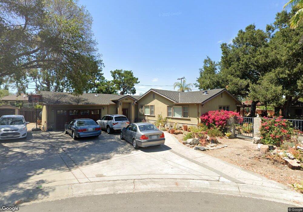
19121 Brooknoll Ct Saratoga, CA 95070
West San Jose NeighborhoodEstimated Value: $3,359,000 - $4,214,000
4
Beds
3
Baths
1,430
Sq Ft
$2,731/Sq Ft
Est. Value
About This Home
This home is located at 19121 Brooknoll Ct, Saratoga, CA 95070 and is currently estimated at $3,905,304, approximately $2,730 per square foot. 19121 Brooknoll Ct is a home located in Santa Clara County with nearby schools including Country Lane Elementary School, Moreland Middle School, and Prospect High School.
Ownership History
Date
Name
Owned For
Owner Type
Purchase Details
Closed on
Mar 16, 2004
Sold by
Mandell Arthur S and Mandell Sandra
Bought by
Crowe Christopher and Crowe Jill
Current Estimated Value
Home Financials for this Owner
Home Financials are based on the most recent Mortgage that was taken out on this home.
Original Mortgage
$550,000
Outstanding Balance
$256,506
Interest Rate
5.64%
Mortgage Type
Purchase Money Mortgage
Estimated Equity
$3,648,798
Create a Home Valuation Report for This Property
The Home Valuation Report is an in-depth analysis detailing your home's value as well as a comparison with similar homes in the area
Home Values in the Area
Average Home Value in this Area
Purchase History
| Date | Buyer | Sale Price | Title Company |
|---|---|---|---|
| Crowe Christopher | $690,000 | Chicago Title |
Source: Public Records
Mortgage History
| Date | Status | Borrower | Loan Amount |
|---|---|---|---|
| Open | Crowe Christopher | $550,000 |
Source: Public Records
Tax History Compared to Growth
Tax History
| Year | Tax Paid | Tax Assessment Tax Assessment Total Assessment is a certain percentage of the fair market value that is determined by local assessors to be the total taxable value of land and additions on the property. | Land | Improvement |
|---|---|---|---|---|
| 2025 | $19,949 | $1,572,925 | $784,822 | $788,103 |
| 2024 | $19,949 | $1,542,084 | $769,434 | $772,650 |
| 2023 | $19,760 | $1,511,848 | $754,348 | $757,500 |
| 2022 | $19,450 | $1,482,205 | $739,557 | $742,648 |
| 2021 | $19,171 | $1,453,143 | $725,056 | $728,087 |
| 2020 | $18,891 | $1,438,244 | $717,622 | $720,622 |
| 2019 | $18,144 | $1,410,044 | $703,551 | $706,493 |
| 2018 | $17,788 | $1,382,397 | $689,756 | $692,641 |
| 2017 | $17,549 | $1,355,292 | $676,232 | $679,060 |
| 2016 | $16,597 | $1,328,719 | $662,973 | $665,746 |
| 2015 | $16,443 | $1,308,761 | $653,015 | $655,746 |
| 2014 | $16,051 | $1,283,125 | $640,224 | $642,901 |
Source: Public Records
Map
Nearby Homes
- 12140 Woodside Dr
- 5635 W Walbrook Dr
- 1587 Miller Ave
- 1577 Maurice Ln
- 1681 Danromas Way
- 1367 Cordelia Ave
- 1092 Strayer Dr
- 19920 Viewridge Dr
- 12584 Paseo Flores
- 5043 Le Miccine Terrace Unit 76
- 6117 Brigantine Dr
- 1063 Whitebick Dr
- 5887 Amapola Dr
- 1957 Colusa Way
- 6757 Devonshire Dr
- 11315 Cottonwood Place Unit 39-09 Plan 3
- 11210 Cottonwood Place Unit 35-08 Plan 4
- 11220 Cottonwood Place Unit 36-08 Plan 2
- 10750 Elm Cir Unit 88-17 Plan 2
- Plan 2 at The Elms
- 19101 Brooknoll Ct
- 1538 Johnson Ave
- 1540 Johnson Ave
- 19130 Brookhaven Dr
- 19110 Brookhaven Dr
- 19120 Brooknoll Ct
- 1544 Johnson Ave
- 19090 Brookhaven Dr
- 19150 Brookhaven Dr
- 11931 Brookridge Dr
- 19100 Brooknoll Ct
- 11951 Brookridge Dr
- 1548 Johnson Ave
- 11891 Brookridge Dr
- 1531 Johnson Ave
- 11971 Brookridge Dr
- 1543 Johnson Ave
- 1523 Johnson Ave
- 19125 Brook Ln
- 19123 Brookhaven Dr