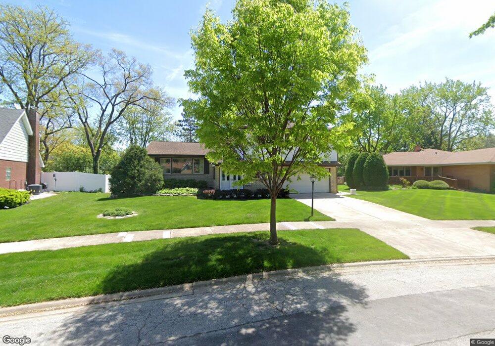
19125 Pierce Ave Homewood, IL 60430
Estimated Value: $346,915 - $414,000
4
Beds
3
Baths
2,412
Sq Ft
$154/Sq Ft
Est. Value
About This Home
This home is located at 19125 Pierce Ave, Homewood, IL 60430 and is currently estimated at $370,979, approximately $153 per square foot. 19125 Pierce Ave is a home located in Cook County with nearby schools including Willow Elementary School, Winston Churchill School, and James Hart School.
Ownership History
Date
Name
Owned For
Owner Type
Purchase Details
Closed on
Mar 4, 2014
Sold by
Kohn Gerald Dale
Bought by
Kohn Gerald Dale and Gerald Dale Kohn Trust
Current Estimated Value
Purchase Details
Closed on
May 24, 1994
Sold by
Henger Gary W and Henger Jo Ann M
Bought by
Kohn Gerald Dale
Home Financials for this Owner
Home Financials are based on the most recent Mortgage that was taken out on this home.
Original Mortgage
$115,000
Interest Rate
7.75%
Create a Home Valuation Report for This Property
The Home Valuation Report is an in-depth analysis detailing your home's value as well as a comparison with similar homes in the area
Home Values in the Area
Average Home Value in this Area
Purchase History
| Date | Buyer | Sale Price | Title Company |
|---|---|---|---|
| Kohn Gerald Dale | -- | None Available | |
| Kohn Gerald Dale | $151,000 | -- |
Source: Public Records
Mortgage History
| Date | Status | Borrower | Loan Amount |
|---|---|---|---|
| Closed | Kohn Gerald Dale | $115,000 |
Source: Public Records
Tax History Compared to Growth
Tax History
| Year | Tax Paid | Tax Assessment Tax Assessment Total Assessment is a certain percentage of the fair market value that is determined by local assessors to be the total taxable value of land and additions on the property. | Land | Improvement |
|---|---|---|---|---|
| 2024 | $9,519 | $27,636 | $4,189 | $23,447 |
| 2023 | $7,064 | $29,000 | $4,189 | $24,811 |
| 2022 | $7,064 | $19,812 | $3,724 | $16,088 |
| 2021 | $6,666 | $19,811 | $3,723 | $16,088 |
| 2020 | $7,831 | $19,811 | $3,723 | $16,088 |
| 2019 | $8,558 | $21,049 | $3,490 | $17,559 |
| 2018 | $8,275 | $21,049 | $3,490 | $17,559 |
| 2017 | $8,326 | $21,049 | $3,490 | $17,559 |
| 2016 | $7,974 | $19,034 | $3,258 | $15,776 |
| 2015 | $7,855 | $19,034 | $3,258 | $15,776 |
| 2014 | $7,733 | $19,034 | $3,258 | $15,776 |
| 2013 | $8,282 | $21,793 | $3,258 | $18,535 |
Source: Public Records
Map
Nearby Homes
- 19126 Pierce Ave
- 1100 Holbrook Rd Unit D
- 1308 191st St
- 223 Lynn Ln
- 940 Holbrook Rd Unit 8A
- 940 Holbrook Rd Unit 33B
- 18849 Jamie Ct
- 163 W Raye Dr
- 110 Judith Ln
- 55 E Craig Dr
- 90 Peyton Dr
- 290 Holbrook Rd
- 171 Frederick Dr
- 273 Charles St
- 162 Frederick Dr
- 220 W Raye Dr
- 18842 Morgan St
- 1607 Sylvan Ct
- 176 N Floyd Ln
- 172 N Floyd Ln
- 19131 Pierce Ave
- 19119 Pierce Ave
- 19126 Center Ave
- 19122 Center Ave
- 19130 Center Ave
- 19115 Pierce Ave
- 19118 Center Ave
- 19133 Pierce Ave
- 19136 Center Ave
- 19118 Pierce Ave
- 19137 Loomis Ave
- 19114 Center Ave
- 19142 Center Ave
- 19111 Pierce Ave
- 19114 Pierce Ave
- 19141 Loomis Ave Unit 3
- 19110 Center Ave
- 19148 Center Ave
- 19110 Pierce Ave
- 19127 Loomis Ave