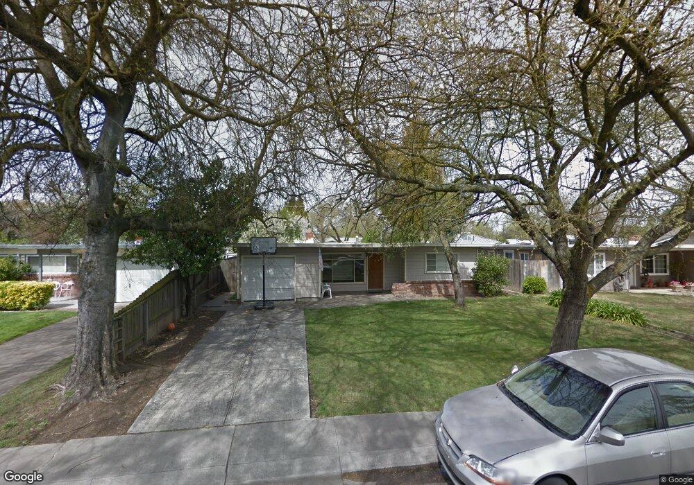
1913 Calhoun Way Unit 9 Stockton, CA 95207
Lincoln Village NeighborhoodEstimated Value: $343,023 - $370,000
3
Beds
1
Bath
1,084
Sq Ft
$329/Sq Ft
Est. Value
About This Home
This home is located at 1913 Calhoun Way Unit 9, Stockton, CA 95207 and is currently estimated at $356,512, approximately $328 per square foot. 1913 Calhoun Way Unit 9 is a home located in San Joaquin County with nearby schools including Tully C. Knoles School, Sierra Middle School, and Lincoln High School.
Ownership History
Date
Name
Owned For
Owner Type
Purchase Details
Closed on
Sep 21, 2000
Sold by
Sleven Robert and Sleven Rita
Bought by
Lindstrom Christopher E
Current Estimated Value
Home Financials for this Owner
Home Financials are based on the most recent Mortgage that was taken out on this home.
Original Mortgage
$80,000
Outstanding Balance
$28,909
Interest Rate
7.98%
Estimated Equity
$327,603
Create a Home Valuation Report for This Property
The Home Valuation Report is an in-depth analysis detailing your home's value as well as a comparison with similar homes in the area
Home Values in the Area
Average Home Value in this Area
Purchase History
| Date | Buyer | Sale Price | Title Company |
|---|---|---|---|
| Lindstrom Christopher E | $102,500 | Old Republic Title Company |
Source: Public Records
Mortgage History
| Date | Status | Borrower | Loan Amount |
|---|---|---|---|
| Open | Lindstrom Christopher E | $80,000 |
Source: Public Records
Tax History Compared to Growth
Tax History
| Year | Tax Paid | Tax Assessment Tax Assessment Total Assessment is a certain percentage of the fair market value that is determined by local assessors to be the total taxable value of land and additions on the property. | Land | Improvement |
|---|---|---|---|---|
| 2025 | $3,885 | $154,433 | $45,198 | $109,235 |
| 2024 | $3,761 | $151,406 | $44,312 | $107,094 |
| 2023 | $3,671 | $148,439 | $43,444 | $104,995 |
| 2022 | $3,543 | $145,530 | $42,593 | $102,937 |
| 2021 | $3,480 | $142,677 | $41,758 | $100,919 |
| 2020 | $3,446 | $141,215 | $41,330 | $99,885 |
| 2019 | $3,420 | $138,447 | $40,520 | $97,927 |
| 2018 | $3,340 | $135,733 | $39,726 | $96,007 |
| 2017 | $3,307 | $133,073 | $38,948 | $94,125 |
| 2016 | $3,063 | $130,465 | $38,185 | $92,280 |
| 2014 | $3,104 | $125,990 | $36,875 | $89,115 |
Source: Public Records
Map
Nearby Homes
- 1864 Polk Way
- 1703 Polk Way
- 1720 Mcclellan Way
- 2252 W Benjamin Holt Dr
- 1545 Douglas Rd
- 1633 Porter Way
- 1629 Porter Way
- 1707 W Swain Rd Unit 5
- 1608 Porter Way
- 1719 W Swain Rd Unit A
- 1583 W Swain Rd
- 1489 W Swain Rd
- 6523 Vicksburg Place
- 2447 Calhoun Way
- 2316 W Swain Rd
- 5860 Alexandria Place
- 2423 W Swain Rd
- 7012 Richmond Place
- 1532 Burnside Way
- 1140 Douglas Rd Unit 3
- 1921 Calhoun Way
- 1903 Calhoun Way Unit 9
- 1931 Calhoun Way
- 1861 Calhoun Way Unit 9
- 1922 Rutledge Way
- 1914 Rutledge Way
- 1904 Rutledge Way
- 1932 Rutledge Way
- 1914 Calhoun Way
- 1939 Calhoun Way
- 1904 Calhoun Way
- 1853 Calhoun Way
- 1864 Rutledge Way
- 1922 Calhoun Way
- 1942 Rutledge Way
- 1864 Calhoun Way
- 1932 Calhoun Way
- 1856 Rutledge Way
- 1949 Calhoun Way
- 1856 Calhoun Way