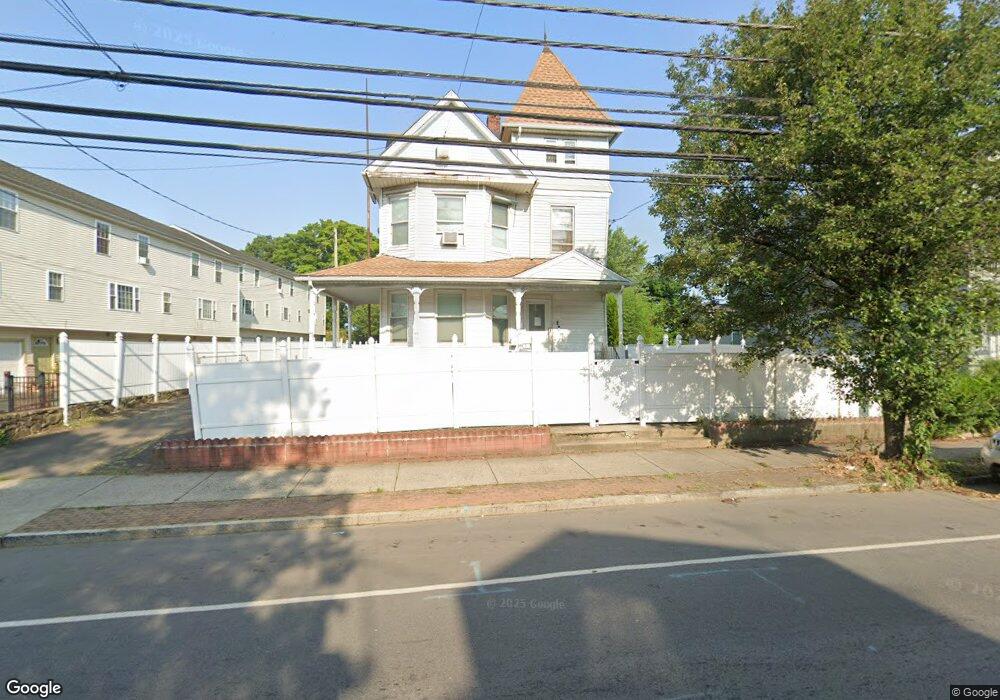
1913 E Main St Bridgeport, CT 06610
North Bridgeport NeighborhoodEstimated Value: $248,000 - $442,000
5
Beds
2
Baths
2,526
Sq Ft
$151/Sq Ft
Est. Value
About This Home
This home is located at 1913 E Main St, Bridgeport, CT 06610 and is currently estimated at $380,525, approximately $150 per square foot. 1913 E Main St is a home located in Fairfield County with nearby schools including Beardsley School, Harding High School, and Achievement First Bridgeport Academy Elementary School.
Ownership History
Date
Name
Owned For
Owner Type
Purchase Details
Closed on
Aug 6, 2020
Sold by
Bouphavan William
Bought by
Bouphavan Elizabeth
Current Estimated Value
Purchase Details
Closed on
May 19, 1995
Sold by
Petruccelli C
Bought by
Saelim Timothy and Lim Koul
Home Financials for this Owner
Home Financials are based on the most recent Mortgage that was taken out on this home.
Original Mortgage
$50,000
Interest Rate
8%
Mortgage Type
Unknown
Create a Home Valuation Report for This Property
The Home Valuation Report is an in-depth analysis detailing your home's value as well as a comparison with similar homes in the area
Home Values in the Area
Average Home Value in this Area
Purchase History
| Date | Buyer | Sale Price | Title Company |
|---|---|---|---|
| Bouphavan Elizabeth | -- | None Available | |
| Bouphavan Elizabeth | -- | None Available | |
| Saelim Timothy | $70,000 | -- | |
| Saelim Timothy | $70,000 | -- |
Source: Public Records
Mortgage History
| Date | Status | Borrower | Loan Amount |
|---|---|---|---|
| Previous Owner | Saelim Timothy | $50,000 |
Source: Public Records
Tax History
| Year | Tax Paid | Tax Assessment Tax Assessment Total Assessment is a certain percentage of the fair market value that is determined by local assessors to be the total taxable value of land and additions on the property. | Land | Improvement |
|---|---|---|---|---|
| 2025 | $6,991 | $160,890 | $39,810 | $121,080 |
| 2024 | $6,991 | $160,890 | $39,810 | $121,080 |
| 2023 | $6,991 | $160,890 | $39,810 | $121,080 |
| 2022 | $6,991 | $160,890 | $39,810 | $121,080 |
| 2021 | $6,991 | $160,890 | $39,810 | $121,080 |
| 2020 | $6,384 | $118,250 | $26,450 | $91,800 |
| 2019 | $6,384 | $118,250 | $26,450 | $91,800 |
| 2018 | $6,429 | $118,250 | $26,450 | $91,800 |
| 2017 | $6,429 | $118,250 | $26,450 | $91,800 |
| 2016 | $6,429 | $118,250 | $26,450 | $91,800 |
| 2015 | $6,647 | $157,520 | $31,980 | $125,540 |
| 2014 | $6,647 | $157,520 | $31,980 | $125,540 |
Source: Public Records
Map
Nearby Homes
- 142 Palm St
- 2034 E Main St
- 2031 E Main St
- 46 York St
- 282 Horace St
- 2092 E Main St
- 2100 E Main St
- 386 Huntington Rd Unit 388
- 107 Colony St Unit 109
- 1218 Kossuth St
- 619 Brooks St Unit 621
- 750 William St
- 1365 E Main St
- 502 Berkshire Ave
- 690 William St
- 369 Park St
- 154 Virginia Ave Unit B
- 33 Louisiana Ave Unit 35
- 11 Nob Hill Cir
- 186 Louisiana Ave Unit D
- 1923 E Main St
- 1901 E Main St Unit 6
- 1901 E Main St Unit 5
- 1901 E Main St Unit 4
- 1901 E Main St Unit 3
- 1901 E Main St Unit 2
- 1901 E Main St Unit 1
- 1933 E Main St
- 1891 E Main St
- 1886 E Main St
- 1884 E Main St
- 1906 E Main St
- 1916 E Main St
- 1918 E Main St
- 1926 E Main St Unit 2ND F
- 1946 E Main St
- 1946 E Main St Unit 1952
- 1932 E Main St Unit 3
- 1932 E Main St Unit 1
- 1932 E Main St
Your Personal Tour Guide
Ask me questions while you tour the home.