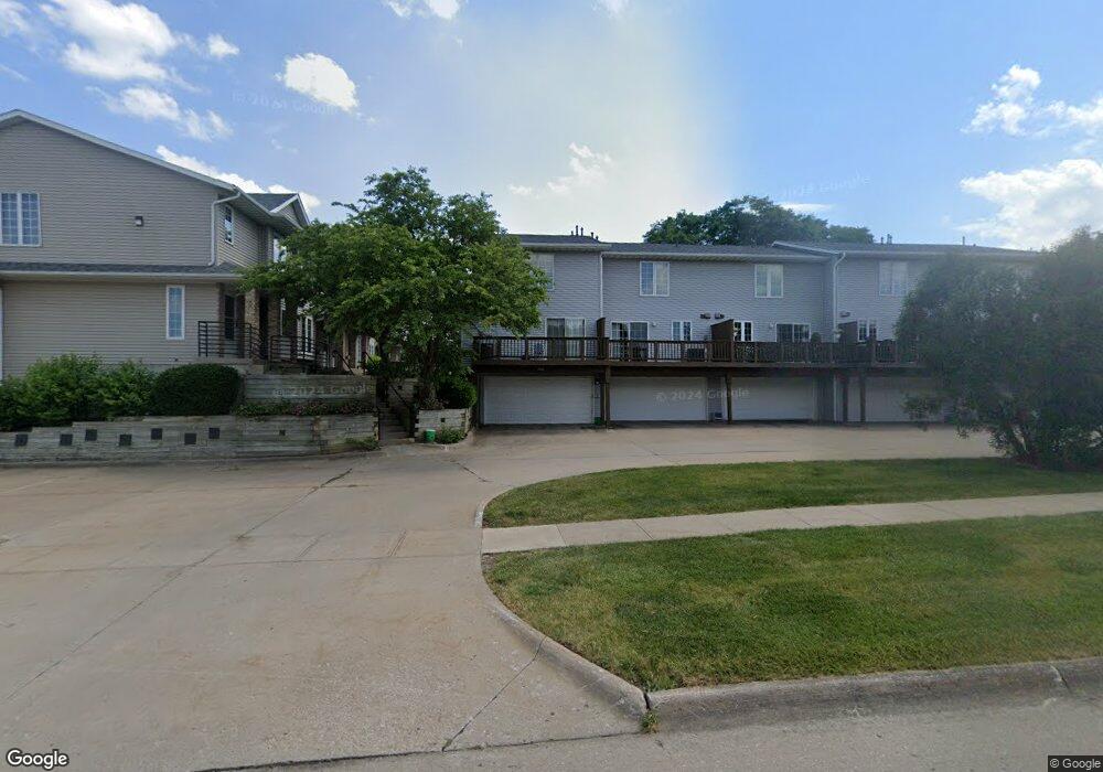
1913 Earl Rd Iowa City, IA 52246
Estimated Value: $202,670 - $223,000
2
Beds
1
Bath
1,382
Sq Ft
$152/Sq Ft
Est. Value
About This Home
This home is located at 1913 Earl Rd, Iowa City, IA 52246 and is currently estimated at $210,668, approximately $152 per square foot. 1913 Earl Rd is a home located in Johnson County with nearby schools including Ernest Horn Elementary School, Northwest Junior High School, and West High School.
Ownership History
Date
Name
Owned For
Owner Type
Purchase Details
Closed on
Aug 14, 2007
Sold by
Thompson Shirley A
Bought by
Wu Shu
Current Estimated Value
Home Financials for this Owner
Home Financials are based on the most recent Mortgage that was taken out on this home.
Original Mortgage
$104,800
Outstanding Balance
$64,643
Interest Rate
6.25%
Mortgage Type
Assumption
Estimated Equity
$146,025
Create a Home Valuation Report for This Property
The Home Valuation Report is an in-depth analysis detailing your home's value as well as a comparison with similar homes in the area
Home Values in the Area
Average Home Value in this Area
Purchase History
| Date | Buyer | Sale Price | Title Company |
|---|---|---|---|
| Wu Shu | $131,000 | None Available |
Source: Public Records
Mortgage History
| Date | Status | Borrower | Loan Amount |
|---|---|---|---|
| Open | Wu Shu | $104,800 |
Source: Public Records
Tax History Compared to Growth
Tax History
| Year | Tax Paid | Tax Assessment Tax Assessment Total Assessment is a certain percentage of the fair market value that is determined by local assessors to be the total taxable value of land and additions on the property. | Land | Improvement |
|---|---|---|---|---|
| 2025 | $3,292 | $194,830 | $24,260 | $170,570 |
| 2024 | $3,292 | $183,020 | $22,530 | $160,490 |
| 2023 | $3,394 | $185,440 | $22,530 | $162,910 |
| 2022 | $3,242 | $165,490 | $20,800 | $144,690 |
| 2021 | $3,372 | $165,490 | $20,800 | $144,690 |
| 2020 | $3,372 | $164,570 | $20,800 | $143,770 |
| 2019 | $3,026 | $164,570 | $20,800 | $143,770 |
| 2018 | $3,026 | $146,210 | $17,330 | $128,880 |
| 2017 | $2,884 | $146,210 | $17,330 | $128,880 |
| 2016 | $2,824 | $139,700 | $17,330 | $122,370 |
| 2015 | $2,824 | $139,700 | $17,330 | $122,370 |
| 2014 | $2,708 | $133,920 | $17,330 | $116,590 |
Source: Public Records
Map
Nearby Homes
- 902 Westside Dr Unit 2
- 182 Westside Dr
- 66 Westside Dr
- 454 Westside Dr Unit I454
- 458 W Side Dr
- 414 Westside Dr
- 447 W Side Dr
- 0 Westcor Dr Unit 202304800
- 3671 Olde Oak Ln SW
- Lot Lot 6 Naples Ave
- Lot Lot 8 Naples Ave
- Lot Lot 11 Naples Ave
- 2259 Cae Dr
- Grace Grace Dr
- Lot Lot 10 Naples Ave
- 2271 Cae Dr
- 1562 Mckinley Place
- 2283 Cae Dr
- 1295 Dolen Place
- 1339 Dolen Place