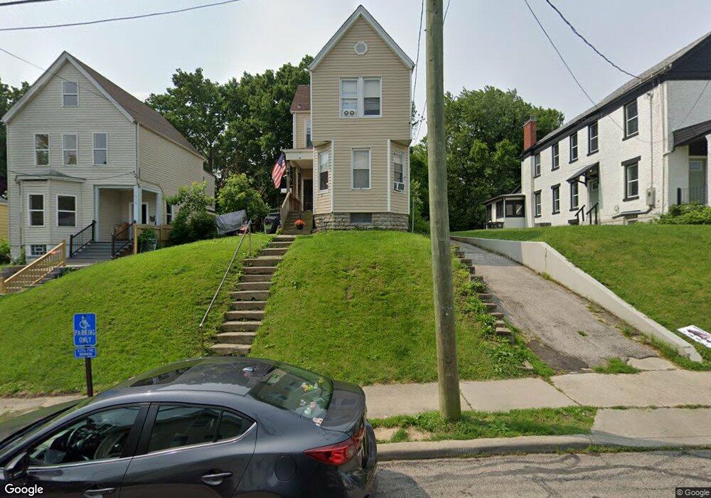
1913 Maple Ave Cincinnati, OH 45212
Estimated Value: $196,091 - $225,000
4
Beds
2
Baths
1,595
Sq Ft
$134/Sq Ft
Est. Value
About This Home
This home is located at 1913 Maple Ave, Cincinnati, OH 45212 and is currently estimated at $213,273, approximately $133 per square foot. 1913 Maple Ave is a home located in Hamilton County with nearby schools including Norwood High School, Cornerstone Christian Academy, and Immaculate Conception Academy.
Ownership History
Date
Name
Owned For
Owner Type
Purchase Details
Closed on
Jul 12, 2004
Sold by
Kimble Robert A and Kimble Deana
Bought by
Melton Greg
Current Estimated Value
Purchase Details
Closed on
Mar 10, 2004
Sold by
The Bank Of New York
Bought by
Kimble Robert A
Purchase Details
Closed on
Jul 18, 2003
Sold by
Caudill James N and Jordan Dawn
Bought by
The Bank Of New York and Eqcc Trust 2001-2
Purchase Details
Closed on
Nov 16, 1994
Sold by
Hoskins Nanna Mae and Jones Nanna Mae
Bought by
Caudill James N and Jordan Dawn
Home Financials for this Owner
Home Financials are based on the most recent Mortgage that was taken out on this home.
Original Mortgage
$43,600
Interest Rate
8.91%
Create a Home Valuation Report for This Property
The Home Valuation Report is an in-depth analysis detailing your home's value as well as a comparison with similar homes in the area
Home Values in the Area
Average Home Value in this Area
Purchase History
| Date | Buyer | Sale Price | Title Company |
|---|---|---|---|
| Melton Greg | -- | Classic Title Agency Llc | |
| Kimble Robert A | $38,000 | Sovereign Title Agency Llc | |
| The Bank Of New York | $46,000 | Sovereign Title Agency Llc | |
| Caudill James N | -- | -- |
Source: Public Records
Mortgage History
| Date | Status | Borrower | Loan Amount |
|---|---|---|---|
| Previous Owner | Caudill James N | $43,600 |
Source: Public Records
Tax History
| Year | Tax Paid | Tax Assessment Tax Assessment Total Assessment is a certain percentage of the fair market value that is determined by local assessors to be the total taxable value of land and additions on the property. | Land | Improvement |
|---|---|---|---|---|
| 2025 | $2,558 | $48,035 | $10,749 | $37,286 |
| 2023 | $2,573 | $48,035 | $10,749 | $37,286 |
| 2022 | $2,061 | $32,414 | $7,217 | $25,197 |
| 2021 | $2,045 | $32,414 | $7,217 | $25,197 |
| 2020 | $2,000 | $32,414 | $7,217 | $25,197 |
| 2019 | $1,905 | $28,435 | $6,332 | $22,103 |
| 2018 | $1,906 | $28,435 | $6,332 | $22,103 |
| 2017 | $2,930 | $28,435 | $6,332 | $22,103 |
| 2016 | $2,045 | $30,461 | $5,950 | $24,511 |
| 2015 | $1,808 | $30,461 | $5,950 | $24,511 |
| 2014 | $1,800 | $30,461 | $5,950 | $24,511 |
| 2013 | $1,894 | $32,407 | $6,332 | $26,075 |
Source: Public Records
Map
Nearby Homes
- 1827 Maple Ave
- 1907 Crown Ave
- 1824 Maple Ave
- 1819 Maple Ave
- 1952 Maple Ave
- 4719 Section Ave
- 1901 Sherman Ave
- 2005 Crown Ave
- 1846 Cleveland Ave
- 1762 Cleveland Ave
- 2030 Elm Ave
- 1841 Mills Ave
- 1701 Sherman Ave
- 2053 Foraker Ave
- 2043 Lawrence Ave
- 2049 Sherman Ave
- 3 Baker Cir
- 4308 Carter Ave
- 5119 Warren Ave
- 1945 Lawn Ave
Your Personal Tour Guide
Ask me questions while you tour the home.