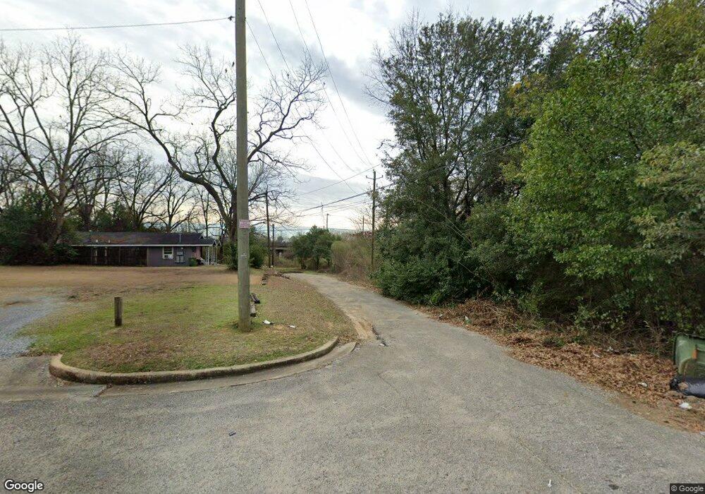
1913 Michael St Unit 1911 Montgomery, AL 36108
West Montgomery NeighborhoodEstimated Value: $44,000 - $68,000
--
Bed
2
Baths
1,070
Sq Ft
$49/Sq Ft
Est. Value
About This Home
This home is located at 1913 Michael St Unit 1911, Montgomery, AL 36108 and is currently estimated at $52,128, approximately $48 per square foot. 1913 Michael St Unit 1911 is a home located in Montgomery County with nearby schools including E. D. Nixon Elementary School, Southlawn Middle School, and Carver Senior High School.
Ownership History
Date
Name
Owned For
Owner Type
Purchase Details
Closed on
Dec 17, 2007
Sold by
Mcgregor James L and Mcgregor Bonnie S
Bought by
Mcgregor James L and Mcgregor Bonnie J
Current Estimated Value
Create a Home Valuation Report for This Property
The Home Valuation Report is an in-depth analysis detailing your home's value as well as a comparison with similar homes in the area
Home Values in the Area
Average Home Value in this Area
Purchase History
| Date | Buyer | Sale Price | Title Company |
|---|---|---|---|
| Mcgregor James L | -- | None Available |
Source: Public Records
Tax History Compared to Growth
Tax History
| Year | Tax Paid | Tax Assessment Tax Assessment Total Assessment is a certain percentage of the fair market value that is determined by local assessors to be the total taxable value of land and additions on the property. | Land | Improvement |
|---|---|---|---|---|
| 2024 | $141 | $2,800 | $500 | $2,300 |
| 2023 | $141 | $2,540 | $500 | $2,040 |
| 2022 | $88 | $2,260 | $500 | $1,760 |
| 2021 | $72 | $1,980 | $500 | $1,480 |
| 2020 | $74 | $2,040 | $500 | $1,540 |
| 2019 | $72 | $1,960 | $460 | $1,500 |
| 2018 | $74 | $2,040 | $0 | $0 |
| 2017 | $55 | $1,520 | $460 | $1,060 |
| 2014 | $55 | $1,520 | $460 | $1,060 |
| 2013 | -- | $2,060 | $460 | $1,600 |
Source: Public Records
Map
Nearby Homes
- 2345 Edward J Nettles Ln
- 80 Mobile Hwy
- 2654 Rutland St
- 3303 Boone St
- 2716 Rutland St
- 3324 W Tuskegee Cir
- 3414 Suwanee Dr
- 3338 Loveless Curve
- 3518 Santee Dr
- 1573 Oakland St
- 2700 W Edgemont Ave
- 3406 Mobile Dr
- 1701 S Holt St
- 3227 Agate St
- 3261 Upchurch Cir
- 1148 Bragg St
- 1161 Bragg St
- 3412 Doris Cir
- 701 Woodrow St
- 2624 Springfield Dr
- 1838 Michael St
- 1837 Michael St
- 1833 Michael St
- 1922 Myles St
- 1902 Myles St
- 1914 Myles St
- 1921 Michael St
- 1832 Myles St
- 1821 Michael St
- 1826 Myles St
- 1925 Michael St
- 1928 Myles St
- 1826 Michael St Unit 1824
- 1819 Michael St
- 1820 Myles St
- 1818 Michael St
- 1934 Myles St
- 1816 Myles St
- 1813 Michael St
- 1827 Myles St