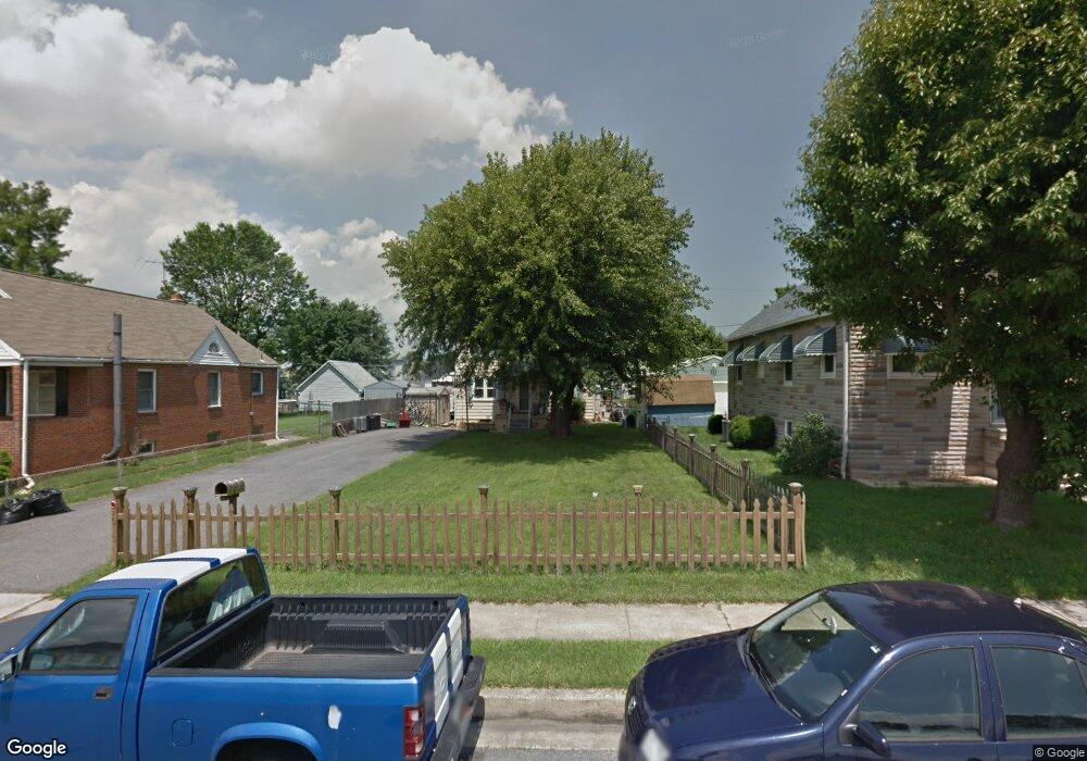
1913 Tolson Ave Dundalk, MD 21222
Estimated Value: $277,270 - $305,000
Studio
2
Baths
1,477
Sq Ft
$196/Sq Ft
Est. Value
About This Home
This home is located at 1913 Tolson Ave, Dundalk, MD 21222 and is currently estimated at $289,818, approximately $196 per square foot. 1913 Tolson Ave is a home located in Baltimore County with nearby schools including Norwood Elementary School, Holabird Middle School, and Dundalk High School.
Ownership History
Date
Name
Owned For
Owner Type
Purchase Details
Closed on
Sep 23, 2004
Sold by
Wilson Terry Lee
Bought by
Wilson Terry Lee
Current Estimated Value
Purchase Details
Closed on
May 14, 2001
Sold by
Secretary Of Housing
Bought by
Wilson Terry Lee
Purchase Details
Closed on
Dec 15, 2000
Sold by
Libertini Michael C
Bought by
Secretary Of Housing
Purchase Details
Closed on
Jan 25, 1999
Sold by
Household Bank F S B
Bought by
Libertini Michael C
Purchase Details
Closed on
Jun 24, 1997
Sold by
Rogers John W
Bought by
Household Bank F S B
Create a Home Valuation Report for This Property
The Home Valuation Report is an in-depth analysis detailing your home's value as well as a comparison with similar homes in the area
Home Values in the Area
Average Home Value in this Area
Purchase History
| Date | Buyer | Sale Price | Title Company |
|---|---|---|---|
| Wilson Terry Lee | -- | -- | |
| Wilson Terry Lee | $93,000 | -- | |
| Secretary Of Housing | $110,000 | -- | |
| Libertini Michael C | $84,900 | -- | |
| Household Bank F S B | $50,000 | -- |
Source: Public Records
Tax History
| Year | Tax Paid | Tax Assessment Tax Assessment Total Assessment is a certain percentage of the fair market value that is determined by local assessors to be the total taxable value of land and additions on the property. | Land | Improvement |
|---|---|---|---|---|
| 2025 | $4,264 | $204,933 | -- | -- |
| 2024 | $4,264 | $186,467 | $0 | $0 |
| 2023 | $1,707 | $168,000 | $54,000 | $114,000 |
| 2022 | $3,049 | $160,333 | $0 | $0 |
| 2021 | $2,499 | $152,667 | $0 | $0 |
| 2020 | $2,499 | $145,000 | $54,000 | $91,000 |
| 2019 | $2,284 | $140,600 | $0 | $0 |
| 2018 | $2,110 | $136,200 | $0 | $0 |
| 2017 | $12 | $131,800 | $0 | $0 |
| 2016 | $2,148 | $128,533 | $0 | $0 |
| 2015 | $2,148 | $125,267 | $0 | $0 |
| 2014 | $2,148 | $122,000 | $0 | $0 |
Source: Public Records
Map
Nearby Homes
- 1901 Tolson Ave
- 1914 Snyder Ave
- 1900 Monumental Rd
- 1911 Snyder Ave
- 6740 Brentwood Ave
- 1747 Brookview Rd
- 1703 Bethlehem Ave
- 6720 Roberts Ave
- 1818 Maxwell Ave
- 7120 Railway Ave
- 6800 Crossway
- 1849 Portship Rd
- 138 Highshire Ct
- 1800 Towson Ave
- 6817 Duluth Ave
- 1403 Delvale Ave
- 1502 Vesper Ave
- 6320 Brown Ave
- 6321 Brown Ave
- 1242 Delbert Ave
- 1915 Tolson Ave
- 1909 Tolson Ave
- 1917 Tolson Ave
- 1914 Crafton Ave
- 1916 Crafton Ave
- 1907 Tolson Ave
- 1912 Crafton Ave
- 6814 5th Ave
- 1918 Crafton Ave
- 1914 Tolson Ave
- 6900 5th Ave
- 1920 Crafton Ave
- 1910 Crafton Ave
- 1912 Tolson Ave
- 6810 5th Ave
- 6910 5th Ave
- 1910 Tolson Ave
- 1922 Crafton Ave
- 1908 Crafton Ave
- 1903 Tolson Ave