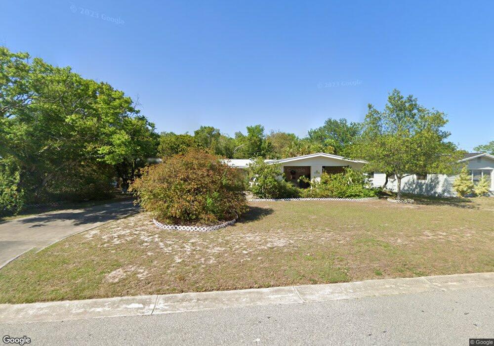
1914 Malinda Ln Titusville, FL 32796
Estimated Value: $225,000 - $283,000
3
Beds
2
Baths
1,830
Sq Ft
$139/Sq Ft
Est. Value
About This Home
This home is located at 1914 Malinda Ln, Titusville, FL 32796 and is currently estimated at $253,642, approximately $138 per square foot. 1914 Malinda Ln is a home located in Brevard County with nearby schools including Mims Elementary School, James Madison Middle School, and Astronaut High School.
Ownership History
Date
Name
Owned For
Owner Type
Purchase Details
Closed on
Sep 3, 2008
Sold by
Kutsche Arthur J
Bought by
Kutsche Mary Margaret
Current Estimated Value
Purchase Details
Closed on
Apr 29, 2004
Sold by
White Elizabeth A
Bought by
Kutsche Mary Margaret
Purchase Details
Closed on
Apr 22, 2004
Sold by
Herren Helen Louise
Bought by
Kutsche Mary Margaret
Purchase Details
Closed on
Mar 5, 1998
Sold by
Kutsche Marion Wallace Whitney
Bought by
Kutsche Marion W
Create a Home Valuation Report for This Property
The Home Valuation Report is an in-depth analysis detailing your home's value as well as a comparison with similar homes in the area
Home Values in the Area
Average Home Value in this Area
Purchase History
| Date | Buyer | Sale Price | Title Company |
|---|---|---|---|
| Kutsche Mary Margaret | -- | None Available | |
| Kutsche Arthur J | -- | Attorney | |
| Kutsche Mary Margaret | -- | None Available | |
| Kutsche Mary Margaret | -- | None Available | |
| Kutsche Marion W | -- | -- |
Source: Public Records
Tax History Compared to Growth
Tax History
| Year | Tax Paid | Tax Assessment Tax Assessment Total Assessment is a certain percentage of the fair market value that is determined by local assessors to be the total taxable value of land and additions on the property. | Land | Improvement |
|---|---|---|---|---|
| 2025 | $488 | $64,700 | -- | -- |
| 2024 | $457 | $62,880 | -- | -- |
| 2023 | $457 | $61,050 | $0 | $0 |
| 2022 | $400 | $59,280 | $0 | $0 |
| 2021 | $400 | $57,560 | $0 | $0 |
| 2020 | $401 | $56,770 | $0 | $0 |
| 2019 | $403 | $55,500 | $0 | $0 |
| 2018 | $404 | $54,470 | $0 | $0 |
| 2017 | $406 | $53,350 | $0 | $0 |
| 2016 | $324 | $52,260 | $15,500 | $36,760 |
| 2015 | $334 | $51,900 | $15,500 | $36,400 |
| 2014 | $336 | $51,490 | $15,500 | $35,990 |
Source: Public Records
Map
Nearby Homes
- 610 East Ct
- 2015 Malinda Ln
- 614 West Ct
- 502 Vaughn St
- 2135 Mayfair Way Unit Lot 71
- 2135 Mayfair Way Unit 84
- 2135 Mayfair Way Unit 98
- 424 Lenore Ave
- 0000 Buffalo Rd
- 7.26 Route 1
- 671 N Dixie Ave Unit 18A
- 870 Century Medical Dr
- 1636 Violet Ave
- 1615 Violet Ave
- Tbd N Washington Ave
- 1539 Violet Ave
- 0000 Unknown N Park Ave
- 970 Carolina Cir
- 105 McNeela Dr Unit 105
- 1115 Jones St
- 1908 Malinda Ln
- 2002 Malinda Ln
- 1902 Malinda Ln
- 609 East Ct
- 2010 Malinda Ln
- 545 Carrie Hill Rd
- 550 Mendel Ln
- 544 Carrie Hill Rd
- 613 East Ct
- 1820 Malinda Ln
- 1925 Buffalo Rd
- 542 Mendel Ln
- 537 Carrie Hill Rd
- 537 Carrie Hill Rd Unit 3
- 536 Carrie Hill Rd
- 2009 Malinda Ln
- 555 Mendel Ln
- 1814 Malinda Ln
- 536 Mendel Ln
- 549 Mendel Ln