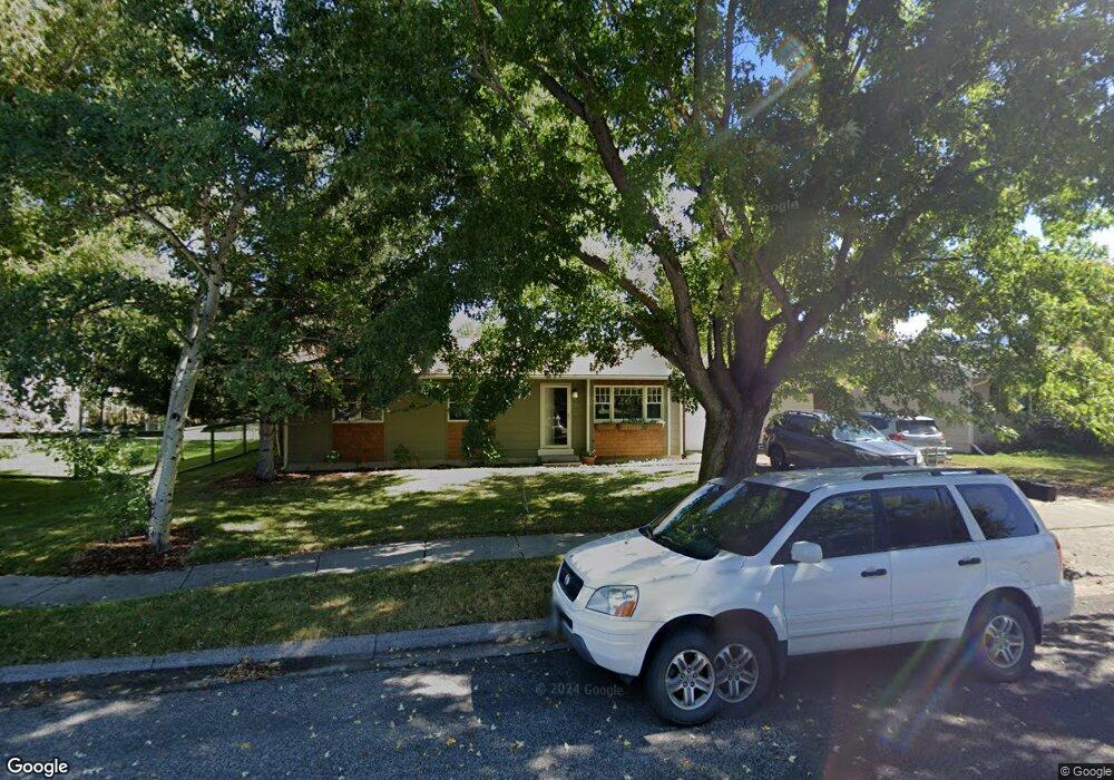
1914 S Rouse Ave Bozeman, MT 59715
Bozeman Creek NeighborhoodEstimated Value: $658,000 - $777,000
3
Beds
1
Bath
1,049
Sq Ft
$698/Sq Ft
Est. Value
About This Home
This home is located at 1914 S Rouse Ave, Bozeman, MT 59715 and is currently estimated at $732,665, approximately $698 per square foot. 1914 S Rouse Ave is a home located in Gallatin County with nearby schools including Longfellow School, Sacajawea Middle School, and Bozeman High School.
Ownership History
Date
Name
Owned For
Owner Type
Purchase Details
Closed on
Jan 4, 2011
Sold by
Parker Russell
Bought by
Reese Katherine J
Current Estimated Value
Purchase Details
Closed on
Jan 17, 2008
Sold by
Keith Jeffrey Lee
Bought by
Reese Katherine J and Parker Russell
Home Financials for this Owner
Home Financials are based on the most recent Mortgage that was taken out on this home.
Original Mortgage
$233,750
Interest Rate
5.96%
Mortgage Type
Purchase Money Mortgage
Create a Home Valuation Report for This Property
The Home Valuation Report is an in-depth analysis detailing your home's value as well as a comparison with similar homes in the area
Home Values in the Area
Average Home Value in this Area
Purchase History
| Date | Buyer | Sale Price | Title Company |
|---|---|---|---|
| Reese Katherine J | -- | American Land Title Company | |
| Reese Katherine J | -- | Montana Title & Escrow |
Source: Public Records
Mortgage History
| Date | Status | Borrower | Loan Amount |
|---|---|---|---|
| Previous Owner | Reese Katherine J | $233,750 |
Source: Public Records
Tax History Compared to Growth
Tax History
| Year | Tax Paid | Tax Assessment Tax Assessment Total Assessment is a certain percentage of the fair market value that is determined by local assessors to be the total taxable value of land and additions on the property. | Land | Improvement |
|---|---|---|---|---|
| 2025 | $2,464 | $564,200 | $0 | $0 |
| 2024 | $3,846 | $577,800 | $0 | $0 |
| 2023 | $3,722 | $577,800 | $0 | $0 |
| 2022 | $2,831 | $369,300 | $0 | $0 |
| 2021 | $3,125 | $369,300 | $0 | $0 |
| 2020 | $2,869 | $335,600 | $0 | $0 |
| 2019 | $2,934 | $335,600 | $0 | $0 |
| 2018 | $2,396 | $253,800 | $0 | $0 |
| 2017 | $2,240 | $253,800 | $0 | $0 |
| 2016 | $2,173 | $230,100 | $0 | $0 |
| 2015 | $2,175 | $230,100 | $0 | $0 |
| 2014 | $2,014 | $125,345 | $0 | $0 |
Source: Public Records
Map
Nearby Homes
- 1816 S Rouse Ave
- 1816 S Rouse Ave Unit 1 & 2
- 2020 S Rouse Ave Unit 7
- 1659 S Black Ave
- 29 Hoffman Dr
- 1919 Spring Creek Dr
- 1109 E Kagy Blvd
- 2510 Fairway Dr
- 3002 Candy Ln
- 2934 Sourdough Rd
- 2516 Spring Creek Dr
- 1103 S Pinecrest Dr
- 3045 Sourdough Rd
- 1121 Cherry Dr
- 2421 Highland Blvd
- 1207 S Spruce Dr
- 2702 Langohr Ave
- 1008 S Willson Ave
- 1004 S Willson Ave
- 911 S Willson Ave
- 1908 S Rouse Ave
- 1920 S Rouse Ave
- 1926 S Rouse Ave
- 1913 S Rouse Ave
- 1814 & 1816 S Rouse
- 1814 & 1816 S Rouse Unit 1 & 2
- 1905 S Rouse Ave
- 1917 S Rouse Ave
- 1817 S Rouse Ave
- 1808 S Rouse Ave
- 1925 S Rouse Ave
- 2002 S Rouse Ave
- 2003 S Rouse Ave
- 2003 S Rouse Ave Unit 1
- 2003 S Rouse Ave
- 1920 S Black Ave
- 1809 S Rouse Ave
- 1918 S Black Ave
- 1922 S Black Ave
- 1914 S Black Ave