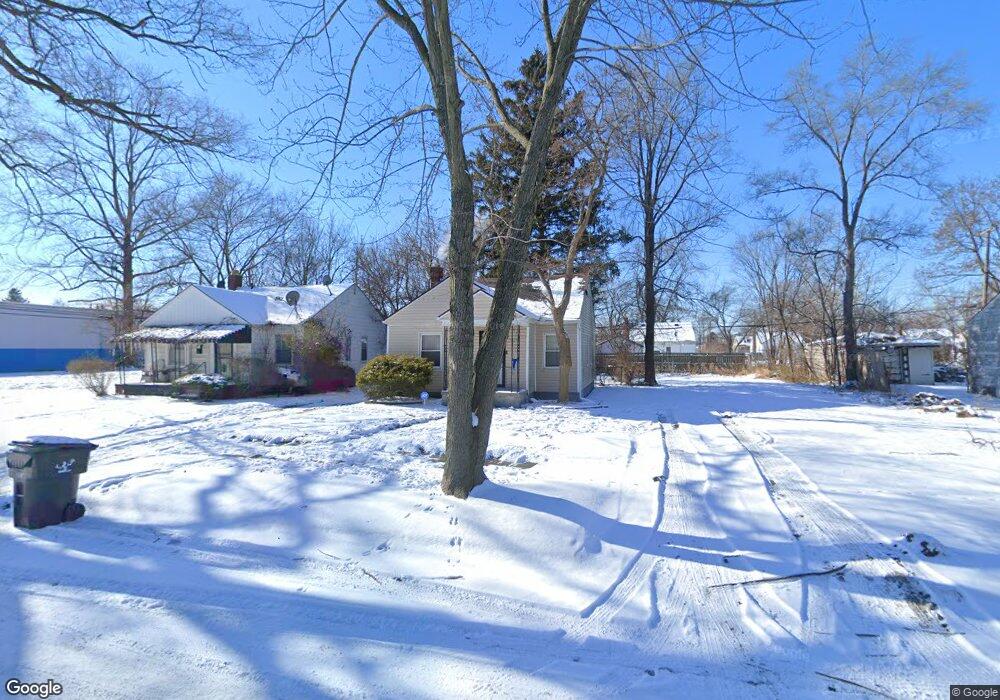
19147 Langholm St Detroit, MI 48234
Pulaski NeighborhoodEstimated Value: $52,109 - $65,000
--
Bed
1
Bath
758
Sq Ft
$78/Sq Ft
Est. Value
About This Home
This home is located at 19147 Langholm St, Detroit, MI 48234 and is currently estimated at $59,277, approximately $78 per square foot. 19147 Langholm St is a home located in Wayne County with nearby schools including Casimir Pulaski Elementary-Middle School, Edward 'Duke' Ellington Conservatory of Music and Art, and Charles L. Spain Elementary-Middle School.
Ownership History
Date
Name
Owned For
Owner Type
Purchase Details
Closed on
Oct 1, 2015
Sold by
The Detroit Land Bank Authority
Bought by
Smith Monique
Current Estimated Value
Purchase Details
Closed on
Jun 10, 2005
Sold by
Smith Monique and Sanders Monique
Bought by
Sanders Monique
Create a Home Valuation Report for This Property
The Home Valuation Report is an in-depth analysis detailing your home's value as well as a comparison with similar homes in the area
Home Values in the Area
Average Home Value in this Area
Purchase History
| Date | Buyer | Sale Price | Title Company |
|---|---|---|---|
| Smith Monique | -- | Attorney | |
| Sanders Monique | -- | Northwest Title & Escrow |
Source: Public Records
Tax History Compared to Growth
Tax History
| Year | Tax Paid | Tax Assessment Tax Assessment Total Assessment is a certain percentage of the fair market value that is determined by local assessors to be the total taxable value of land and additions on the property. | Land | Improvement |
|---|---|---|---|---|
| 2025 | $490 | $19,900 | $0 | $0 |
| 2024 | $490 | $17,700 | $0 | $0 |
| 2023 | $473 | $13,900 | $0 | $0 |
| 2022 | $501 | $11,100 | $0 | $0 |
| 2021 | $493 | $4,550 | $0 | $0 |
| 2020 | $739 | $8,200 | $0 | $0 |
| 2019 | $729 | $7,600 | $0 | $0 |
| 2018 | $640 | $6,800 | $0 | $0 |
| 2017 | $126 | $6,700 | $0 | $0 |
| 2016 | $707 | $7,800 | $0 | $0 |
| 2015 | $780 | $7,800 | $0 | $0 |
| 2013 | $1,090 | $10,898 | $0 | $0 |
| 2010 | -- | $15,978 | $836 | $15,142 |
Source: Public Records
Map
Nearby Homes
- 19367 Algonac St
- 19135 Teppert St
- 19422 Algonac St
- 18696 Gruebner St
- 18694 Beland St
- 18925 Runyon St
- 5130 E Outer Dr
- 18709 Runyon St
- 19331 Hoover St
- 19389 Hoover St
- 5727 E Outer Dr
- 8291 E Brentwood St
- 19640 Hoover St
- 19337 Annott St
- 8346 Sirron St
- 19160 Annott St
- 18457 Hoover St
- 18041 Albion St
- 8063 Yolanda St
- 19118 Dresden St
- 19139 Langholm St
- 19155 Langholm St
- 19163 Langholm St
- 19129 Langholm St
- 19144 Gruebner St
- 19164 Gruebner St
- 19156 Gruebner St
- 19171 Langholm St
- 19136 Gruebner St
- 19148 Langholm St
- 19140 Langholm St
- 19172 Gruebner St
- 19156 Langholm St
- 19130 Gruebner St
- 19164 Langholm St
- 19179 Langholm St
- 19130 Langholm St
- 19172 Langholm St
- 19178 Gruebner St
- 19187 Langholm St