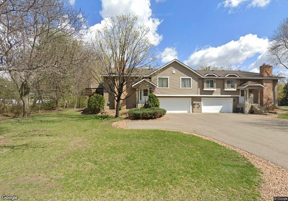
1915 113th Ln NW Coon Rapids, MN 55433
Estimated Value: $248,000 - $262,023
2
Beds
2
Baths
1,078
Sq Ft
$235/Sq Ft
Est. Value
About This Home
This home is located at 1915 113th Ln NW, Coon Rapids, MN 55433 and is currently estimated at $253,256, approximately $234 per square foot. 1915 113th Ln NW is a home located in Anoka County with nearby schools including Lucile Bruner Elementary School, Hamilton Elementary School, and Laughlin Junior/Senior High School.
Ownership History
Date
Name
Owned For
Owner Type
Purchase Details
Closed on
Jun 23, 2009
Sold by
Abrams Patricia E
Bought by
Mills Kelly M
Current Estimated Value
Create a Home Valuation Report for This Property
The Home Valuation Report is an in-depth analysis detailing your home's value as well as a comparison with similar homes in the area
Home Values in the Area
Average Home Value in this Area
Purchase History
| Date | Buyer | Sale Price | Title Company |
|---|---|---|---|
| Mills Kelly M | $114,000 | -- |
Source: Public Records
Tax History Compared to Growth
Tax History
| Year | Tax Paid | Tax Assessment Tax Assessment Total Assessment is a certain percentage of the fair market value that is determined by local assessors to be the total taxable value of land and additions on the property. | Land | Improvement |
|---|---|---|---|---|
| 2025 | $2,251 | $239,600 | $60,000 | $179,600 |
| 2024 | $2,251 | $227,700 | $47,000 | $180,700 |
| 2023 | $2,276 | $232,900 | $55,000 | $177,900 |
| 2022 | $2,138 | $230,400 | $51,500 | $178,900 |
| 2021 | $2,134 | $194,900 | $30,000 | $164,900 |
| 2020 | $1,984 | $190,300 | $30,000 | $160,300 |
| 2019 | $1,820 | $171,600 | $27,000 | $144,600 |
| 2018 | $1,742 | $154,600 | $0 | $0 |
| 2017 | $1,500 | $144,800 | $0 | $0 |
| 2016 | $1,509 | $124,200 | $0 | $0 |
| 2015 | -- | $124,200 | $17,500 | $106,700 |
| 2014 | -- | $97,600 | $5,200 | $92,400 |
Source: Public Records
Map
Nearby Homes
- 11350 Jay St NW
- 11361 Jay St NW
- 11424 Hanson Blvd NW
- 11444 Hanson Blvd NW
- 11409 Quinn St NW
- 1660 Northdale Blvd NW
- 11036 Hanson Blvd NW Unit 20
- 11267 Robinson Dr NW
- 11000 Swallow St NW
- 2400 108th Ave NW
- 2201 108th Ave NW
- 1449 119th Ln NW
- 12034 Ibis St NW
- 12010 Eagle St NW
- 1830 121st Ln NW Unit 611
- 10658 Hummingbird St NW
- 11852 Yellow Pine St NW
- 1727 121st Ln NW
- 10634 Hummingbird St NW
- 11835 Crocus St NW
- 11373 Martin St NW
- 1907 113th Ln NW
- 1912 114th Ave NW
- 1911 113th Ln NW
- 11365 Martin St NW
- 1903 113th Ln NW
- 11381 Martin St NW
- 1904 114th Ave NW
- 1883 113th Ln NW
- 1908 114th Ave NW
- 11389 Martin St NW
- 1879 113th Ln NW
- 1900 114th Ave NW
- 1871 113th Ln NW
- 1880 114th Ave NW
- 1884 114th Ave NW
- 1875 113th Ln NW
- 11402 Martin St NW
- 11406 Martin St NW
- 11404 Martin St NW