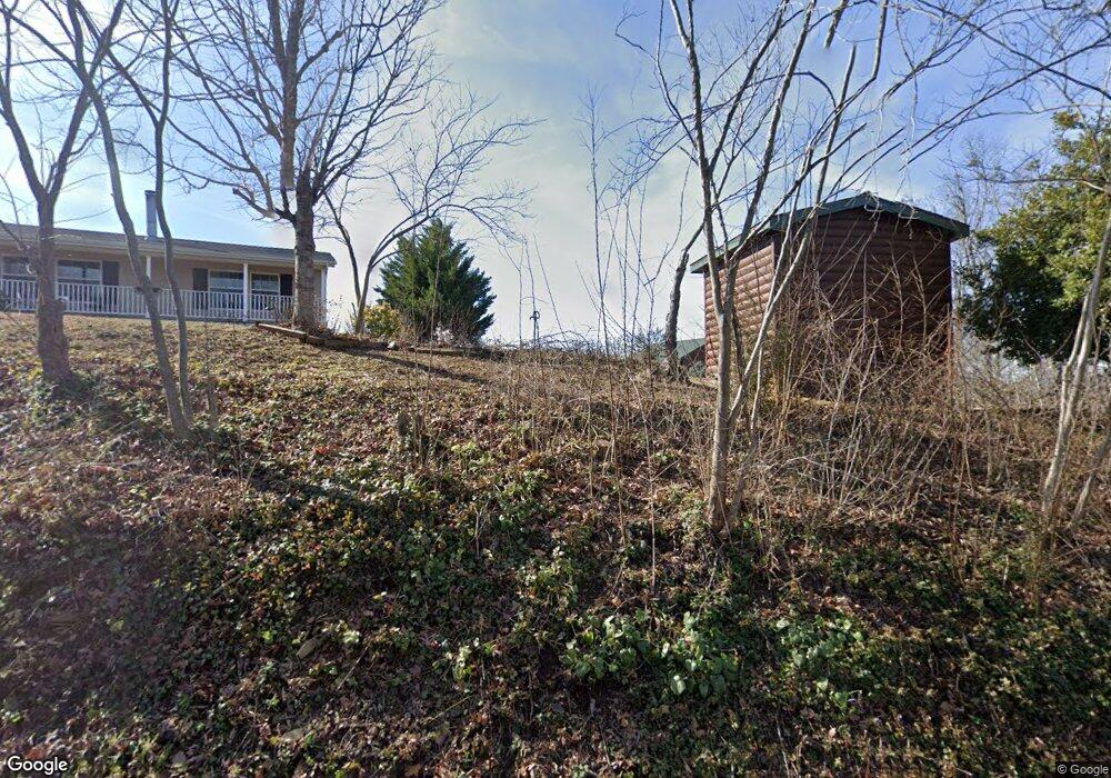
1915 Bouldercrest Dr Dandridge, TN 37725
Estimated Value: $657,000 - $1,353,000
--
Bed
--
Bath
2,959
Sq Ft
$359/Sq Ft
Est. Value
About This Home
This home is located at 1915 Bouldercrest Dr, Dandridge, TN 37725 and is currently estimated at $1,062,746, approximately $359 per square foot. 1915 Bouldercrest Dr is a home.
Ownership History
Date
Name
Owned For
Owner Type
Purchase Details
Closed on
Dec 4, 2020
Sold by
Suppa Stephen P and Suppa Donna
Bought by
Suppa Stephen P and Suppa Donna A
Current Estimated Value
Purchase Details
Closed on
May 13, 2009
Sold by
Edwards Wendy B
Bought by
Suppa Stephen P
Purchase Details
Closed on
Aug 5, 1997
Bought by
Corum Kenneth and Corum Norma Le
Purchase Details
Closed on
Jul 10, 1974
Bought by
Corum Kenneth and Corum Norma
Create a Home Valuation Report for This Property
The Home Valuation Report is an in-depth analysis detailing your home's value as well as a comparison with similar homes in the area
Home Values in the Area
Average Home Value in this Area
Purchase History
| Date | Buyer | Sale Price | Title Company |
|---|---|---|---|
| Suppa Stephen P | $19,935 | None Available | |
| Suppa Stephen P | $213,000 | -- | |
| Corum Kenneth | $56,000 | -- | |
| Corum Kenneth | -- | -- |
Source: Public Records
Tax History Compared to Growth
Tax History
| Year | Tax Paid | Tax Assessment Tax Assessment Total Assessment is a certain percentage of the fair market value that is determined by local assessors to be the total taxable value of land and additions on the property. | Land | Improvement |
|---|---|---|---|---|
| 2025 | $3,821 | $292,675 | $65,000 | $227,675 |
| 2023 | $3,821 | $166,125 | $0 | $0 |
| 2022 | $3,638 | $166,125 | $37,575 | $128,550 |
| 2021 | $3,638 | $166,125 | $37,575 | $128,550 |
| 2020 | $3,638 | $166,125 | $37,575 | $128,550 |
| 2019 | $3,638 | $166,125 | $37,575 | $128,550 |
| 2018 | $3,619 | $154,000 | $29,425 | $124,575 |
| 2017 | $3,619 | $154,000 | $29,425 | $124,575 |
| 2016 | $3,619 | $154,000 | $29,425 | $124,575 |
| 2015 | $3,619 | $154,000 | $29,425 | $124,575 |
| 2014 | $3,619 | $154,000 | $29,425 | $124,575 |
Source: Public Records
Map
Nearby Homes
- 1928 Bouldercrest Dr
- 1991 Lakebrook Cir
- 1988 Lakebrook Cir
- 136 Crosslake Ln
- 1045 Southwind Cir
- 417 Little Cove Dr
- 1887 Lakebrook Cir
- 1806 Pheasant Crossing Dr
- 1018 Southwind Cir
- Lots 1&2 Ferry Hill Rd
- 1710 Ferry Hill Rd
- 1614 Sams Dr
- 1635 Sams Dr
- 344 Economy Cir
- 1920 Mountain Lake Dr
- 312 Economy Cir
- 428 River Bend Dr
- 539 Morie Rd
- 450 Riverbend Dr
- 323 Eagle Claw Ln
- 1919 Bouldercrest Dr
- 1909 Bouldercrest Dr
- 1913 Bouldercrest Dr
- 1921 Bouldercrest Dr
- 1925 Bouldercrest Dr
- 201 Lakepoint Ln
- 1900 Bouldercrest Dr
- 207 Point Ln
- 211 Point Ln
- 1931 Bouldercrest Dr
- 219 Point Ln
- 1873 Boudercrest Dr
- 1873 Bouldercrest Dr
- 1935 Bouldercrest Dr
- 5075 Elm Brook Rd
- 5071 Elm Brook Rd
- 5067 Elm Brook Rd
- 447 Barry Cove
- 423 Barry Cove
- 5048 Elm Brook Rd