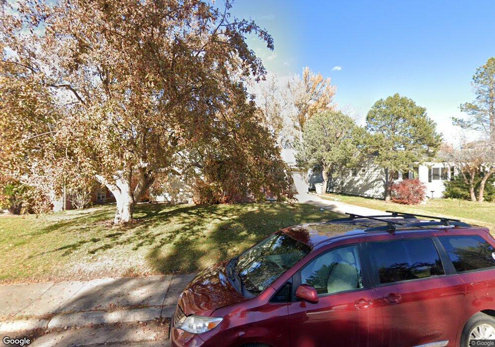
1915 E Custer St Laramie, WY 82070
Estimated Value: $400,000 - $410,000
3
Beds
2
Baths
1,211
Sq Ft
$334/Sq Ft
Est. Value
About This Home
This home is located at 1915 E Custer St, Laramie, WY 82070 and is currently estimated at $404,504, approximately $334 per square foot. 1915 E Custer St is a home located in Albany County with nearby schools including Beitel Elementary School, Laramie Middle School, and Laramie High School.
Ownership History
Date
Name
Owned For
Owner Type
Purchase Details
Closed on
Jan 19, 2009
Sold by
Wilkison Randall K and Wilkison Andrea M
Bought by
Sperling Adam and Sperling Renae
Current Estimated Value
Home Financials for this Owner
Home Financials are based on the most recent Mortgage that was taken out on this home.
Original Mortgage
$196,886
Interest Rate
4.84%
Mortgage Type
FHA
Create a Home Valuation Report for This Property
The Home Valuation Report is an in-depth analysis detailing your home's value as well as a comparison with similar homes in the area
Purchase History
| Date | Buyer | Sale Price | Title Company |
|---|---|---|---|
| Sperling Adam | -- | -- |
Source: Public Records
Mortgage History
| Date | Status | Borrower | Loan Amount |
|---|---|---|---|
| Previous Owner | Sperling Adam | $196,886 |
Source: Public Records
Tax History Compared to Growth
Tax History
| Year | Tax Paid | Tax Assessment Tax Assessment Total Assessment is a certain percentage of the fair market value that is determined by local assessors to be the total taxable value of land and additions on the property. | Land | Improvement |
|---|---|---|---|---|
| 2025 | $2,575 | $27,507 | $3,958 | $23,549 |
| 2024 | $26 | $35,267 | $5,075 | $30,192 |
| 2023 | $2,556 | $35,008 | $5,075 | $29,933 |
| 2022 | $2,291 | $31,387 | $5,815 | $25,572 |
| 2021 | $2,136 | $29,254 | $4,389 | $24,865 |
| 2020 | $1,993 | $27,298 | $4,389 | $22,909 |
| 2019 | $1,867 | $25,574 | $4,389 | $21,185 |
| 2018 | $1,742 | $23,857 | $3,840 | $20,017 |
| 2017 | $1,396 | $19,127 | $3,840 | $15,287 |
| 2016 | $1,380 | $18,907 | $3,840 | $15,067 |
| 2015 | $1,331 | $18,232 | $3,325 | $14,907 |
| 2014 | $1,322 | $18,106 | $0 | $0 |
Source: Public Records
Map
Nearby Homes
- 1802 E Sheridan St
- 617 S 21st St
- 1618 E Custer St
- 1516 E Grand Ave Unit 203
- 407 S 24th St
- 1531 Spring Creek Dr
- 1210 E Garfield St
- 1412 S 17th St Unit A
- 1203 E Park Ave
- 1534 Palmer Dr Unit 4
- 222 Corthell Rd
- 1527 E Person St
- 911 E Custer St
- 1809 Symons St
- 1508 E Person St
- 2608 E Overland Rd
- 1331 Arnold St
- 1722 Barratt St
- 1027 Boswell Dr
- 1167 N 18th St
- 1919 E Custer St
- 1911 E Custer St
- 1907 E Custer St
- 1923 E Custer St
- 1916 E Garfield St
- 1920 E Garfield St
- 1910 E Garfield St
- 1906 E Garfield St
- 1924 E Garfield St
- 1920 E Custer St
- 1912 E Custer St
- 421 S 19th St
- 1927 E Custer St
- 1908 E Custer St
- 1928 E Garfield St
- 1924 E Custer St
- 1902 E Garfield St
- 507 S 19th St
- 1932 E Garfield St
- 1933 E Custer St