1915 Poarch Rd Lincolnton, NC 28092
Estimated Value: $339,000 - $436,000
3
Beds
2
Baths
1,896
Sq Ft
$206/Sq Ft
Est. Value
About This Home
This home is located at 1915 Poarch Rd, Lincolnton, NC 28092 and is currently estimated at $390,075, approximately $205 per square foot. 1915 Poarch Rd is a home located in Lincoln County with nearby schools including Pumpkin Center Primary, Pumpkin Center Intermediate, and Lincolnton Middle School.
Ownership History
Date
Name
Owned For
Owner Type
Purchase Details
Closed on
Dec 15, 2021
Sold by
Scott Fredrick B
Bought by
Scott Brandon Eric and Scott Trevor Allen
Current Estimated Value
Purchase Details
Closed on
Jun 9, 2016
Sold by
Stevens Matthew John and Stevens Robert Harris
Bought by
Hepner Deborah
Purchase Details
Closed on
Sep 3, 2015
Sold by
Quesnel Billie R
Bought by
Billie Ruth Quesnel Irrevocable Trust
Create a Home Valuation Report for This Property
The Home Valuation Report is an in-depth analysis detailing your home's value as well as a comparison with similar homes in the area
Home Values in the Area
Average Home Value in this Area
Purchase History
| Date | Buyer | Sale Price | Title Company |
|---|---|---|---|
| Scott Brandon Eric | -- | Heritage Law | |
| Hepner Deborah | $185,000 | None Available | |
| Billie Ruth Quesnel Irrevocable Trust | -- | None Available |
Source: Public Records
Tax History Compared to Growth
Tax History
| Year | Tax Paid | Tax Assessment Tax Assessment Total Assessment is a certain percentage of the fair market value that is determined by local assessors to be the total taxable value of land and additions on the property. | Land | Improvement |
|---|---|---|---|---|
| 2025 | $1,938 | $297,737 | $49,620 | $248,117 |
| 2024 | $1,918 | $297,737 | $49,620 | $248,117 |
| 2023 | $1,869 | $297,737 | $49,620 | $248,117 |
| 2022 | $1,223 | $156,338 | $40,424 | $115,914 |
| 2021 | $1,192 | $156,338 | $40,424 | $115,914 |
| 2020 | $1,046 | $156,338 | $40,424 | $115,914 |
| 2019 | $1,046 | $156,338 | $40,424 | $115,914 |
| 2018 | $1,034 | $136,186 | $38,711 | $97,475 |
| 2017 | $887 | $136,186 | $38,711 | $97,475 |
| 2016 | $887 | $136,186 | $38,711 | $97,475 |
| 2015 | $955 | $136,186 | $38,711 | $97,475 |
| 2014 | $992 | $143,644 | $38,711 | $104,933 |
Source: Public Records
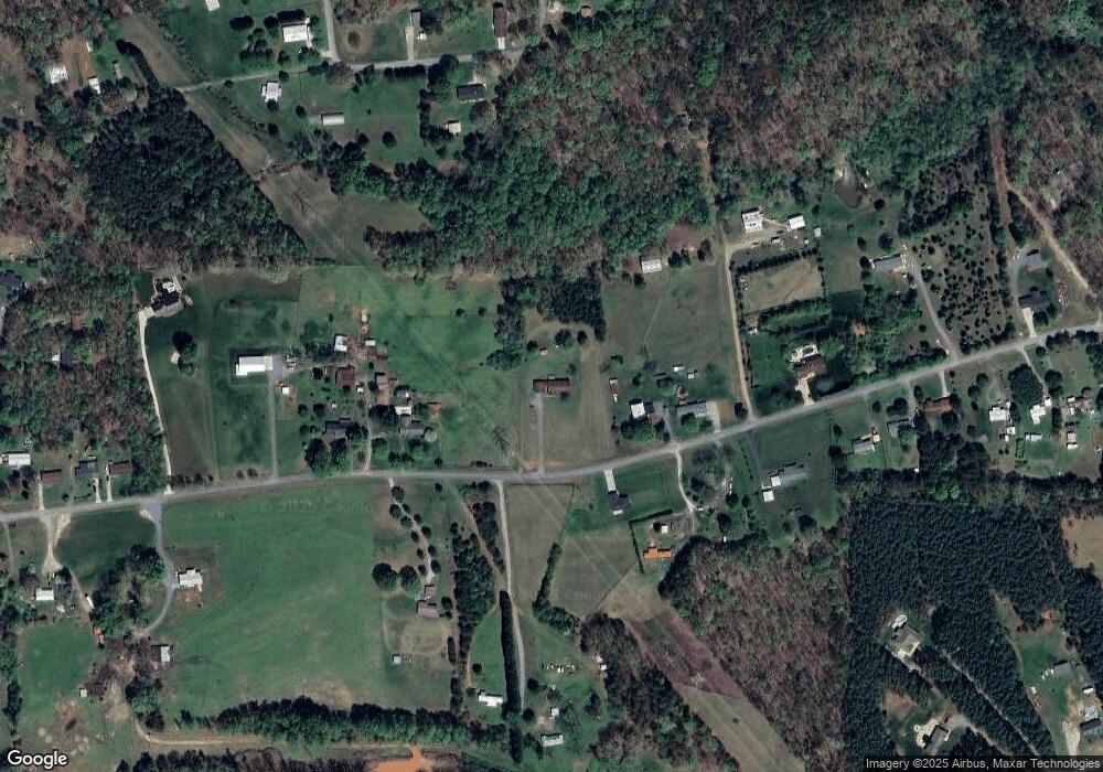
Map
Nearby Homes
- 772 Car Farm Rd
- 1 Clearview Ln
- 1670 Buck Oak Rd
- 2206 Carpenter Farms Dr
- 2202 Carpenter Farms Dr
- 00 Clearview Ln
- 1410 Hickory Nut Ln
- 1335 Huckleberry Dr
- 1471 Arden Dr
- 1723 Ivey Ct
- 2671 Surrey Dr
- 00 Sunrise Trail
- 1426 John Lutz Cir
- Lot 72 & 73 Meandering Ln Unit 72 & 73
- 00 Meandering Ln
- 3 Old Village Dr Unit 3
- 1681 Woolie Rd
- 2911 Weatherfield Dr
- 2914 Weatherfield Dr
- 1195 Ralph B Keener Rd
- 1941 Poarch Rd
- 1955 Poarch Rd
- 1918 Poarch Rd
- 1871 Poarch Rd
- 1952 Poarch Rd
- 1934 Poarch Rd
- 1849 Poarch Rd
- 1972 Poarch Rd
- 1991 Poarch Rd
- 1989 Poarch Rd
- 1967 Poarch Rd
- 2578 Buffalo Forest Rd
- 1868 Poarch Rd
- 2000 Poarch Rd
- 1811 Poarch Rd
- 1898 Poarch Rd
- 2598 Buffalo Forest Rd
- 2601 Buffalo Forest Rd
- 2012 Poarch Rd
- 2555 Buffalo Forest Rd