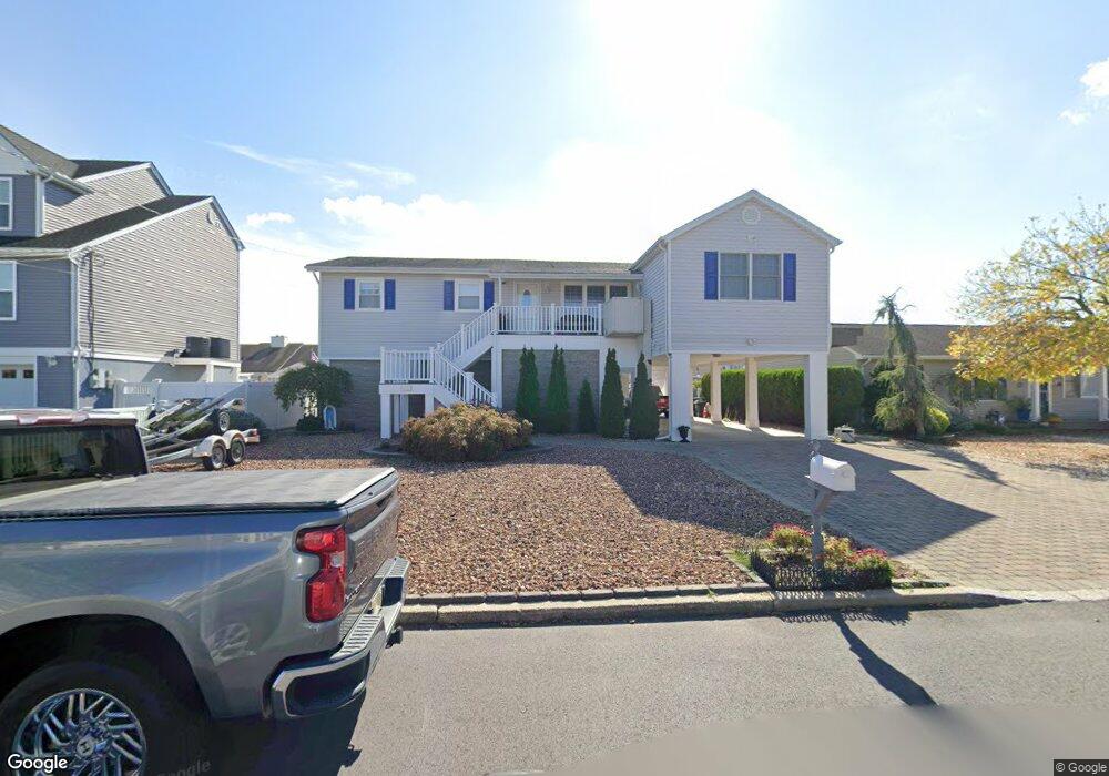
1915 Ship Ct Toms River, NJ 08753
Estimated Value: $795,000 - $1,091,000
3
Beds
3
Baths
2,070
Sq Ft
$448/Sq Ft
Est. Value
About This Home
This home is located at 1915 Ship Ct, Toms River, NJ 08753 and is currently estimated at $928,054, approximately $448 per square foot. 1915 Ship Ct is a home located in Ocean County.
Ownership History
Date
Name
Owned For
Owner Type
Purchase Details
Closed on
Mar 10, 2003
Current Estimated Value
Purchase Details
Closed on
Aug 19, 1998
Sold by
Sexton James J and Sexton Anna
Bought by
Pravata Rose
Purchase Details
Closed on
Dec 28, 1993
Sold by
Kelly Carol B
Bought by
Sexton James and Sexton Anna
Home Financials for this Owner
Home Financials are based on the most recent Mortgage that was taken out on this home.
Original Mortgage
$130,000
Interest Rate
7%
Create a Home Valuation Report for This Property
The Home Valuation Report is an in-depth analysis detailing your home's value as well as a comparison with similar homes in the area
Home Values in the Area
Average Home Value in this Area
Purchase History
| Date | Buyer | Sale Price | Title Company |
|---|---|---|---|
| -- | -- | -- | |
| Pravata Rose | $190,000 | -- | |
| Sexton James | $162,900 | -- |
Source: Public Records
Mortgage History
| Date | Status | Borrower | Loan Amount |
|---|---|---|---|
| Previous Owner | Sexton James | $130,000 |
Source: Public Records
Tax History Compared to Growth
Tax History
| Year | Tax Paid | Tax Assessment Tax Assessment Total Assessment is a certain percentage of the fair market value that is determined by local assessors to be the total taxable value of land and additions on the property. | Land | Improvement |
|---|---|---|---|---|
| 2025 | $10,620 | $583,200 | $275,000 | $308,200 |
| 2024 | $10,095 | $583,200 | $275,000 | $308,200 |
| 2023 | $9,734 | $583,200 | $275,000 | $308,200 |
| 2022 | $9,734 | $583,200 | $275,000 | $308,200 |
| 2021 | $9,434 | $376,600 | $198,000 | $178,600 |
| 2020 | $9,392 | $376,600 | $198,000 | $178,600 |
| 2019 | $8,320 | $348,700 | $198,000 | $150,700 |
| 2018 | $8,208 | $348,700 | $198,000 | $150,700 |
| 2017 | $8,139 | $348,700 | $198,000 | $150,700 |
| 2016 | $7,926 | $348,700 | $198,000 | $150,700 |
| 2015 | $7,626 | $348,700 | $198,000 | $150,700 |
| 2014 | $7,260 | $348,700 | $198,000 | $150,700 |
Source: Public Records
Map
Nearby Homes
- 1939 Ship Ct
- 1850 Ensign Ct
- 1836 Ensign Ct
- 1145 Kenton Dr
- 141 Yellowbank Rd
- 5 Dublin Ct
- 1035 Tralee Dr
- 1083 Crystal Dr
- 890 Fairview Dr
- 8 Pumpshire Rd
- 1916 Waters Edge Dr Unit 16
- 2517 Waters Edge Dr Unit 17
- 1813 Waters Edge Dr
- 1019 Waters Edge Dr
- 230 Christoffer Terrace
- 1099 Fairview Dr
- 921 Tudor Dr
- 169 S Shore Dr
- 1214 Waters Edge Dr Unit 14
- 912 New Jersey Ave